Skip to content
walkWINCHESTER
walkWINCHESTER
  • About walkWINCHESTER
  • About Winchester, Hampshire
  • Affiliate
  • All walks
  • Beyond Winchester
  • Complete the 12 walk challenge in Winchester
  • Explore Winchester
  • Maps of Winchester, Hampshire
  • Privacy Policy
  • Short walks
  • Terms and conditions
  • Visit Winchester
  • walkWINCHESTER posts
  • Winchester walks

Barton on Sea to Hordle Cliff

  • by Will Walker
  • August 31, 2021
Barton on sea cliff

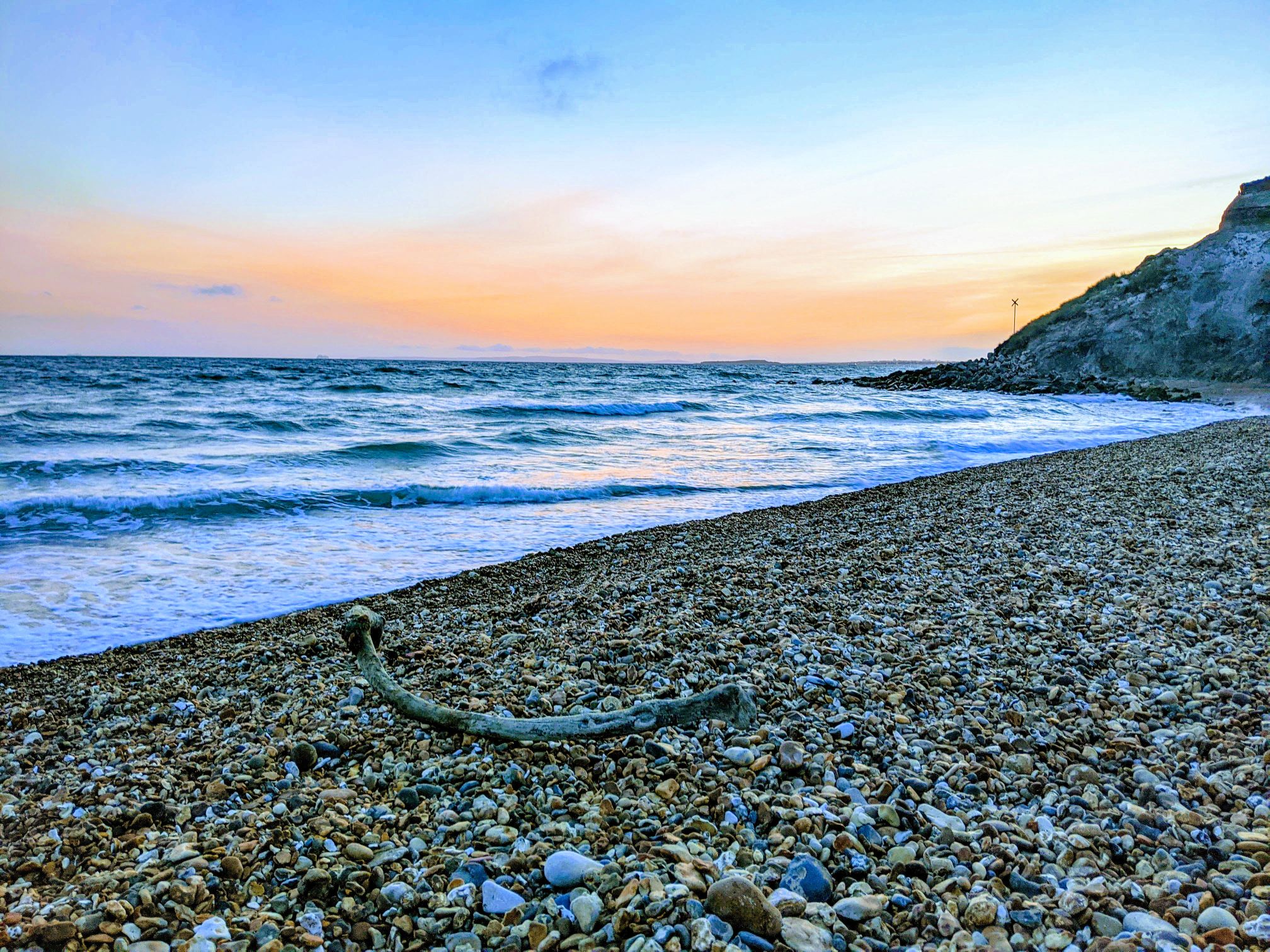
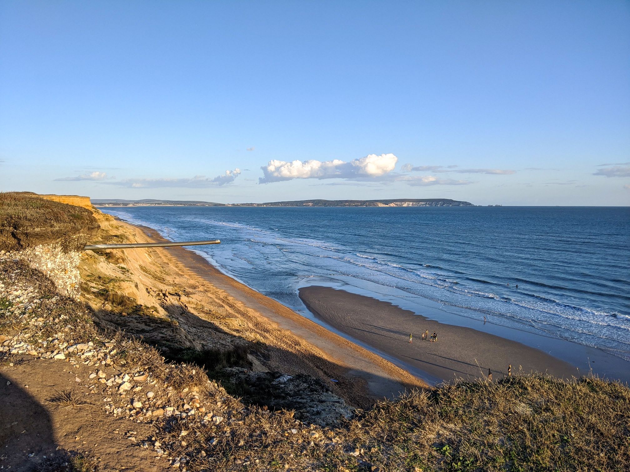
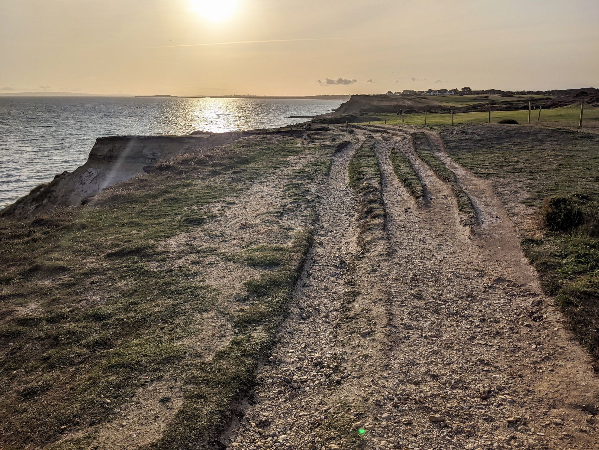
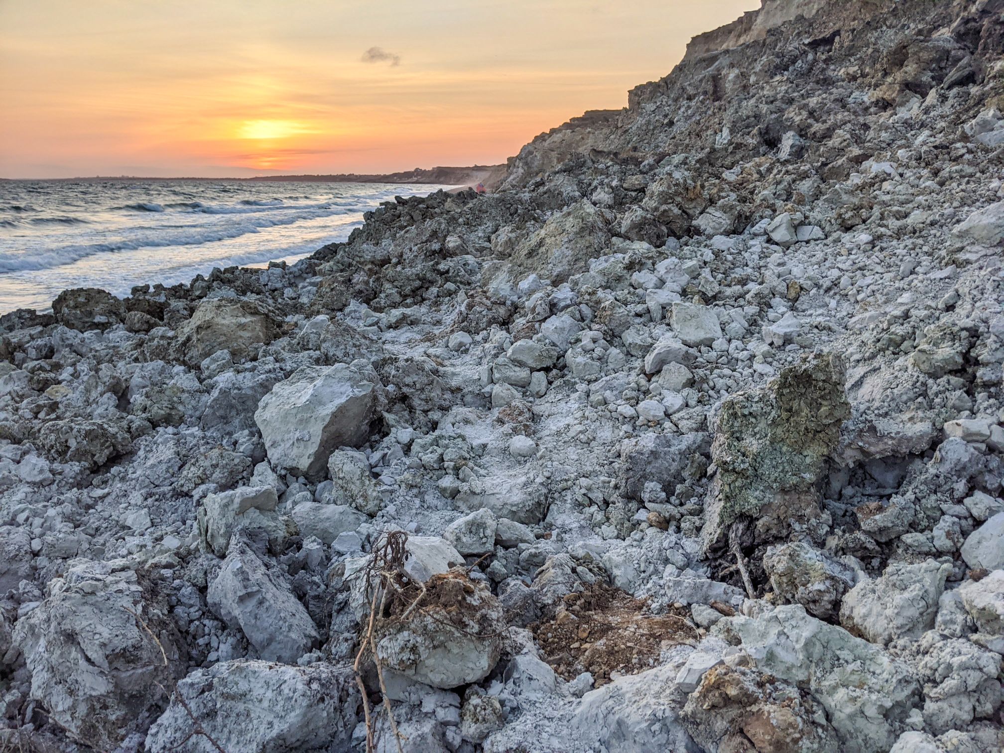
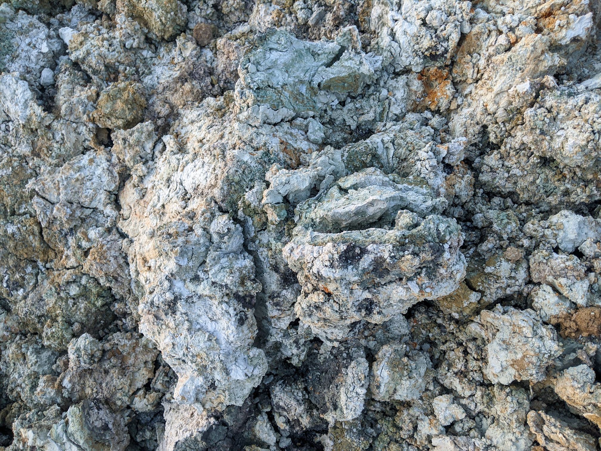
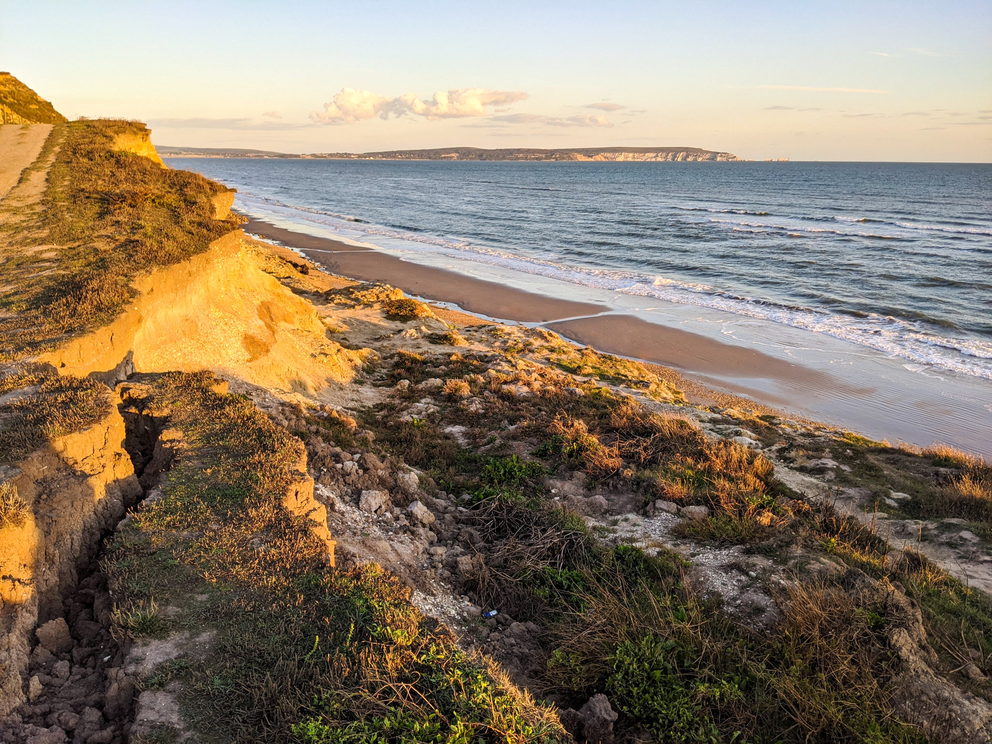
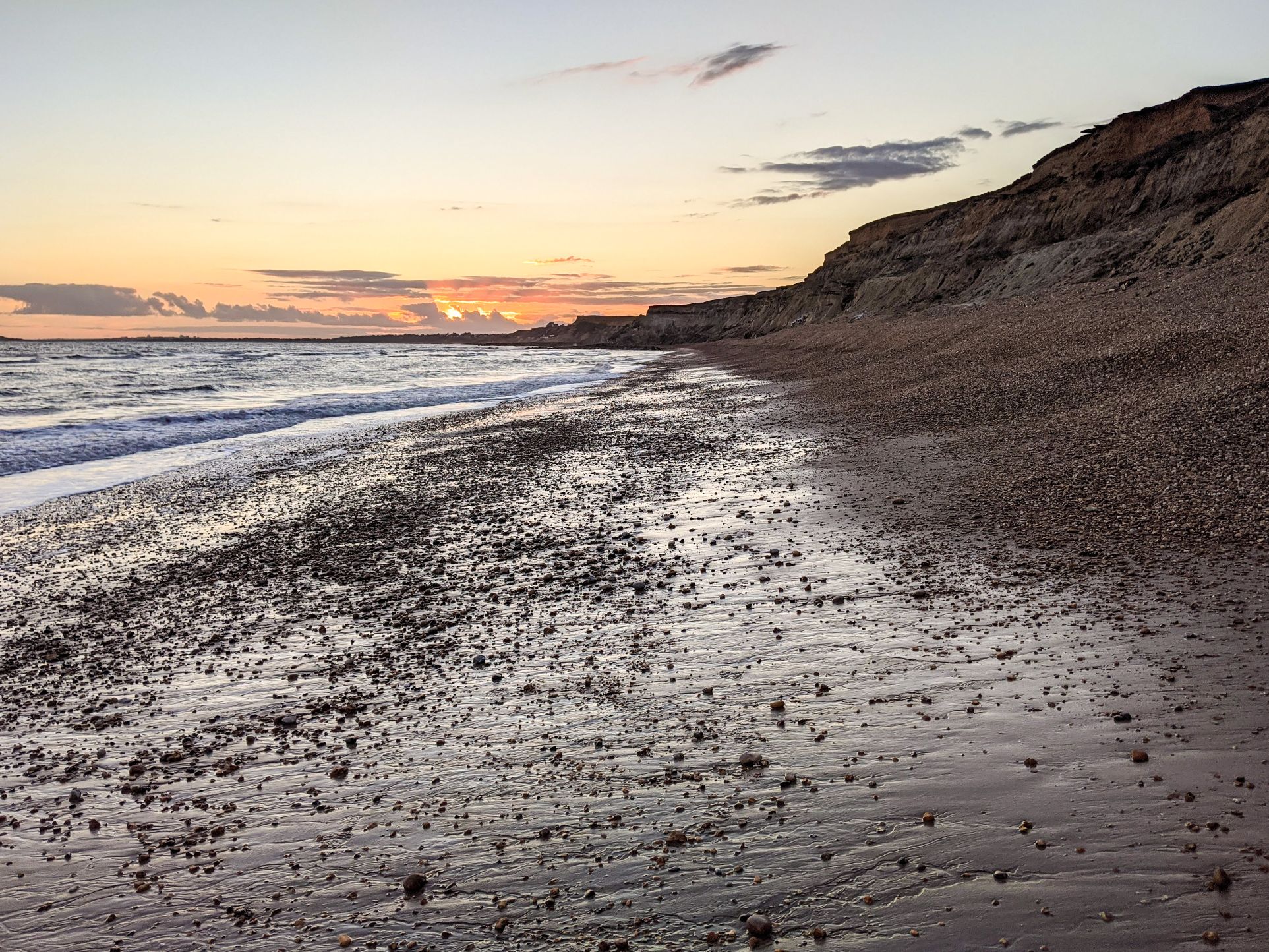
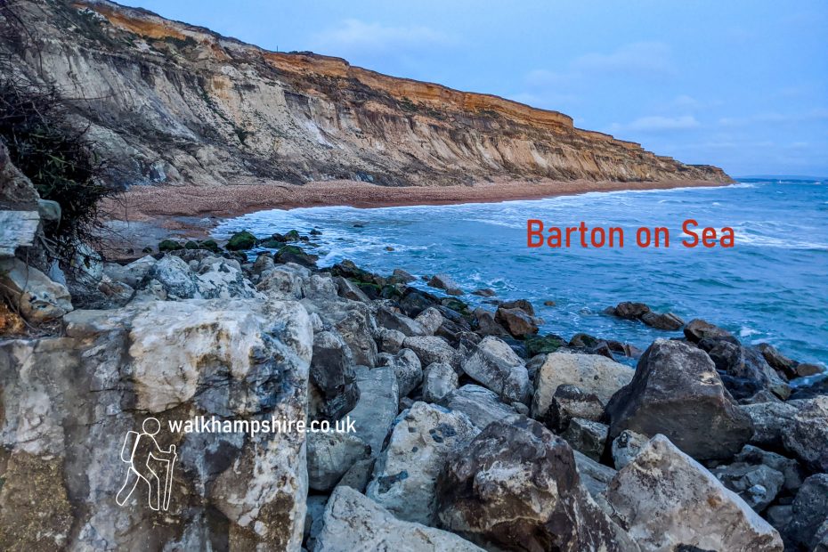
The beach at Barton on Sea is mainly pebble, though there are a few sandy patches to the west. The cliff is subject to significant erosion and the cliff top path has recently been moved back and re-routed. The needles on the Isle of Wight are quite close and you can also see Hengistbury Head and the Purbeck Hills. This is probably our favourite coastal walk in Hampshire.

Help - how to navigate this map

full screen icon full screen mode
zoom in icon zoom in
zoom out icon zoom out
compass button compass to orient the map – north at the top
locate-button locate your current position on the map (browser will ask for permission, works best on phones due to use of GPS). We don’t track your location.

Phone/tablet/touchscreen:
– Tap on symbols for more information about the walks and starting points
– Pan map: Tap on map and drag into any direction
– Zoom In/out: Pinch with two fingers
– Tilt map: Tap with two fingers and drag up or down
– Rotate map: Tap with two fingers and rotate
Laptop with mouse:
– Click on symbols for more information about the walks and starting points
– Pan map: Left click on map with mouse and drag into any direction
– Zoom In/out: Mousewheel or ‘+’ ‘-‘ keys on keyboard
– Tilt map: Right click and drag mouse pointer up or down
– Rotate map: Right click and drag mouse pointer left or right

Start just east of the Beachcomber cafe. There’s a car park as well as roadside parking.

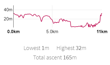
Length: 11.4 km / 7.1 miles
Time: 2 hours 45 minutes at a swift pace + breaks
Difficulty: Easy – 165 m total ascent

Click to view in OS Maps

March 2021: There are reports that some parts are closed due to landslides.

Map of New Forest
O.Okm 
Lcwest lm Highest 32m 
Total escent 165m 
Ilkm

The OS paper map covering the area is Explorer Map OL22 *.

More Hampshire walks:
walkWINCHESTER 12 walk challenge

Highlights

Pebble beach at sunset
Sandy beach at low tide and view to Isle of Wight
Cliff top path looking back at Barton on Sea
Landslide from below
Landslide - soft clay
Landslide – soft clay
Landlide, Isle of Wight view
Landslide east of Barton on Sea with views to the Isle of Wight
Sunset from Hordle Cliff

Leave a Reply Cancel reply

Your email address will not be published. Required fields are marked *

Neve | Powered by WordPress

Neve | Powered by WordPress