Plan your local adventures with our map resources. walkWINCHESTER is as much about maps than it is about walks. In fact most pages on this site do feature a static or interactive map illustrating the geography of Winchester.
Most maps on this site use the newly created APIs released by Ordnance Survey in July 2020. Using the maps on this site you can get a visual idea about the individual routes. In addition, the website should also work well on mobile devices and allow you to navigate the routes.
However, for an enhanced experience and added functionality, each walk (12 walk challenge, short walks as well as walks beyond Winchester) is also available in OS Maps *. It provides additional background maps, for example aerial photography and an interactive 3D view. We use OS Maps * ourselves to plan routes and navigate them, it’s available in the browser, Android as well as iPhone apps. It’s particularly useful if you want to vary the routes and build in shortcuts or detours.
On this page: Paper Maps – OS Maps – Fabric Maps – Historic Maps – Maps to colour in yourself – 3D Fly-throughs – Digital maps
Paper maps
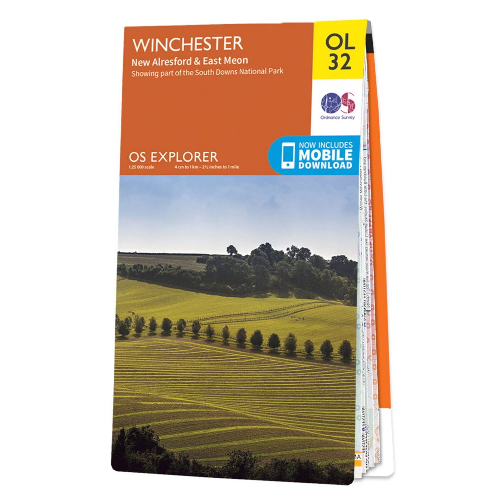
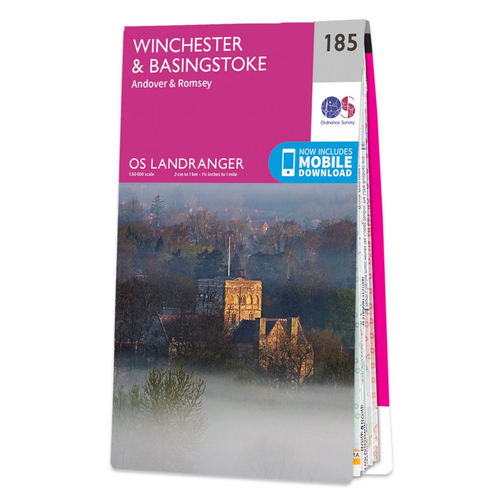
Ordnance Survey publishes two popular leisure maps for the Winchester area:
Fabric maps
Now, this might be slightly unusual, but all OS Explorer and Landranger mapping in Great Britain is also available on versatile and washable fabric, tablecloth, as a personalised toob or even a satin scarf. They are produced by Splash Maps, a small local company, just to the South of Winchester (Chandler’s Ford).

If you don’t don’t like walking around with a phone or plan a route with a felt-tip pen, these maps are perfect as they are washable and easily stuffable (into a rucksack, or pocket). Splash maps are very durable and don’t rip like paper maps. This map covers Winchester and Stockbridge. You can also a map here * and even put your name on it if you want.
They also have a wide variety of maps in other parts of the world * based on Open Street Map.
OS Maps app
OS Maps * is a website/phone app that allows you to discover and plan walks across Great Britain. It contains thousands of walks, runs and bicycle rides and you can also share your won. Once you are out in nature, you can use the app/website to navigate. Your GPS position is shown as a pink arrow on the map which can help significantly with site orientation, depending on your map reading skills.
A basic account is free and provides access to standard Ordnance Survey mapping similar to the maps found on walkWINCHESTER. Additional mapping shows greenspaces, aerial photography as well as the National Cycle Network.
There’s a useful video tutorial. Below is the first of 11 short clips.
A premium service gives access to OS Explorer and Landranger mapping, a digital version of the the popular paper maps. One of the main benefits of this is that they show public rights of way and permissive footpaths, together with open access land to indicate the paths that are accessible to the general public. This is useful as maps typically show a large number of paths that are not accessible.
You also get 3D aerial photographs and National Park pathways. The latter is useful in the South Downs National Park to the immediate East of Winchester. The Augmented Reality (AR) functionality shows locations on the horizon which is exceptionally useful when you are at a viewpoint and want to get a sense of directions.
The premium subscription is currently £3.99 for a month, £29.99 for a single year and £23.99 for a year if auto-renewed (you can cancel within the first year).
Historic maps
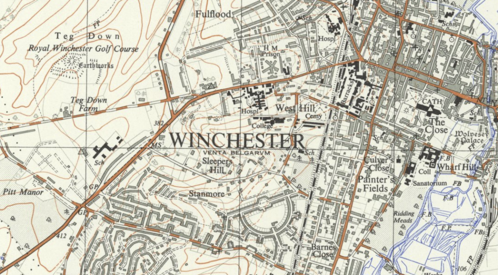
Winchester has been inhabited for thousand of years and probably been mapped for almost as long. This resource allows you to compare historic with modern mapping of the city and discover how the city has developed. Historic Winchester maps.
Maps to colour in yourself
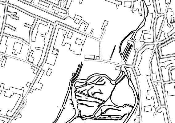
Not only for kids, some colouring in can be quite calming, particularly on a rainy day or if you need to some time to get away from the computer screen: Winchester colouring in map to print out.
Digital maps
There are a larger number of digital map services out there. Here are three popular ones:
Ordnance Survey’s webmap as used elsewhere on this website: great cartography and detail. Limited to Great Britain.
Google maps: excellent for for turn by turn-navigation and to search for location based content. Worldwide coverage.
Open Streetmap, created and updated by volunteers, served by mapbox. Worldwide coverage.
Discover the walks in our 12 walk challenge.