Skip to content
walkWINCHESTER
walkWINCHESTER
  • About walkWINCHESTER
  • About Winchester, Hampshire
  • Affiliate
  • All walks
  • Beyond Winchester
  • Complete the 12 walk challenge in Winchester
  • Explore Winchester
  • Maps of Winchester, Hampshire
  • Privacy Policy
  • Short walks
  • Terms and conditions
  • Visit Winchester
  • walkWINCHESTER posts
  • Winchester walks

Complete the 12 walk challenge in Winchester

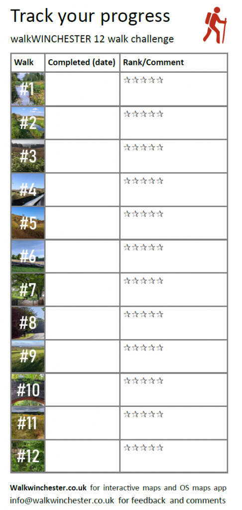
We have pulled together walks from four suggested starting points in different parts of the Winchester to create the 12 walk challenge:

King Alfred Statue, Waitrose, Sainsburys and St. Mary’s in Kings Worthy.

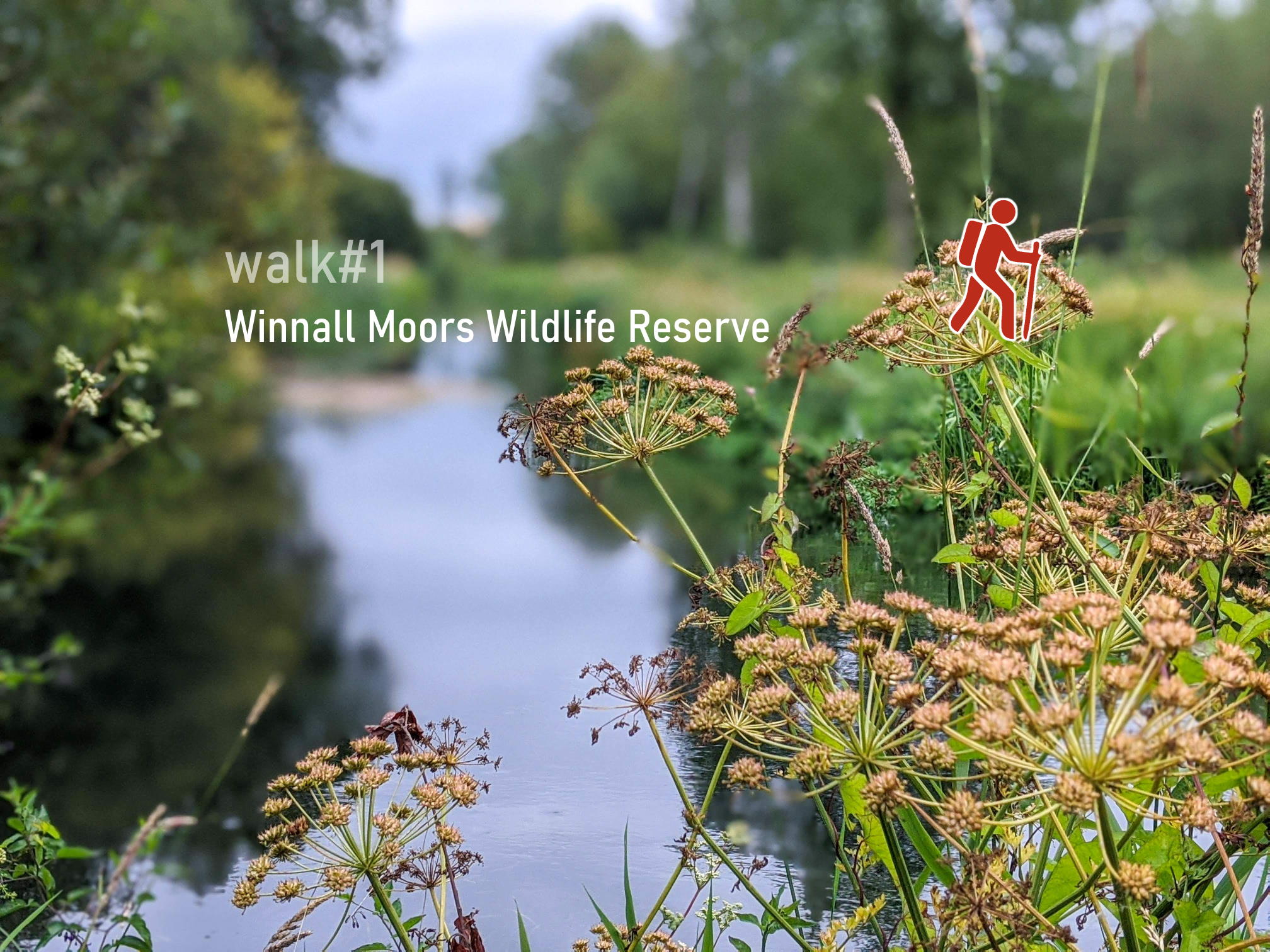
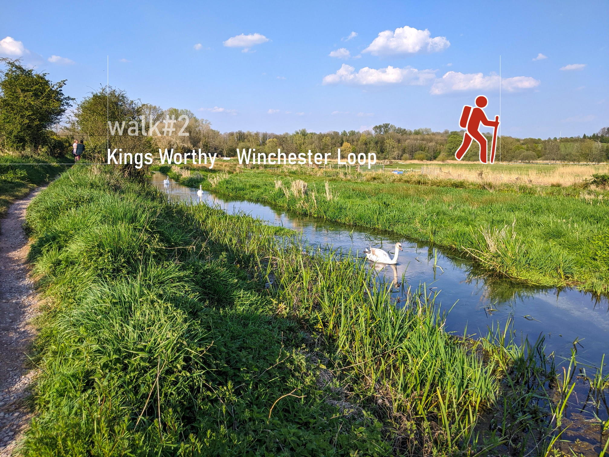
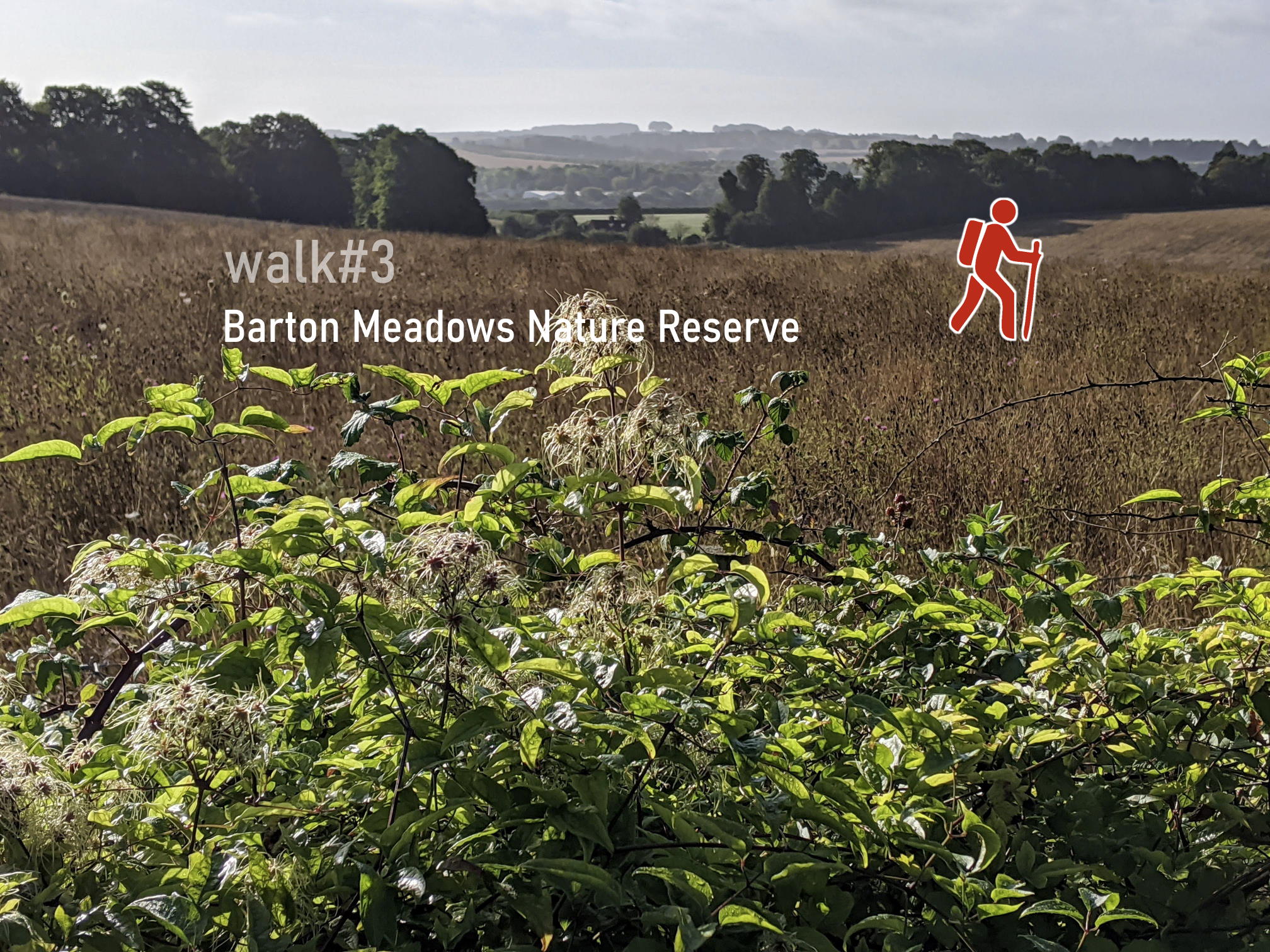
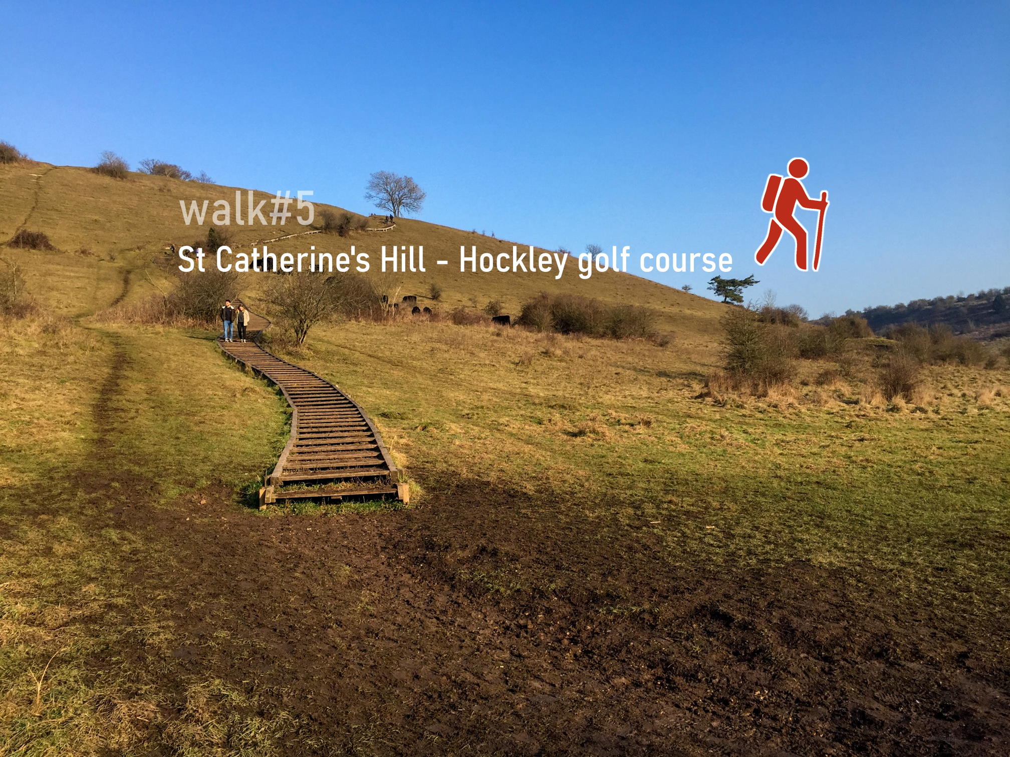
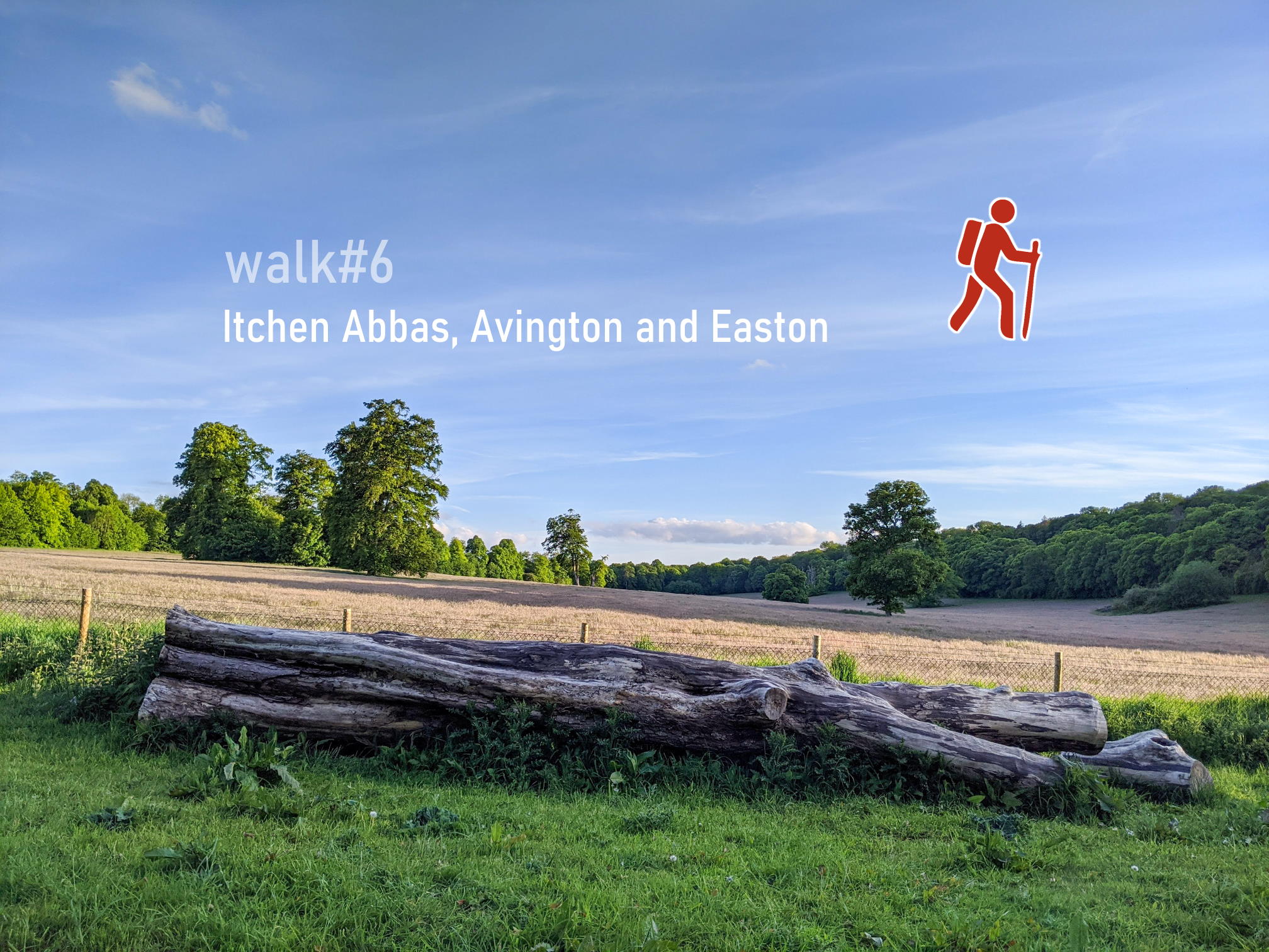
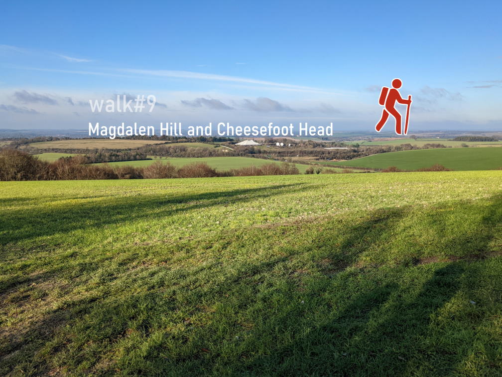
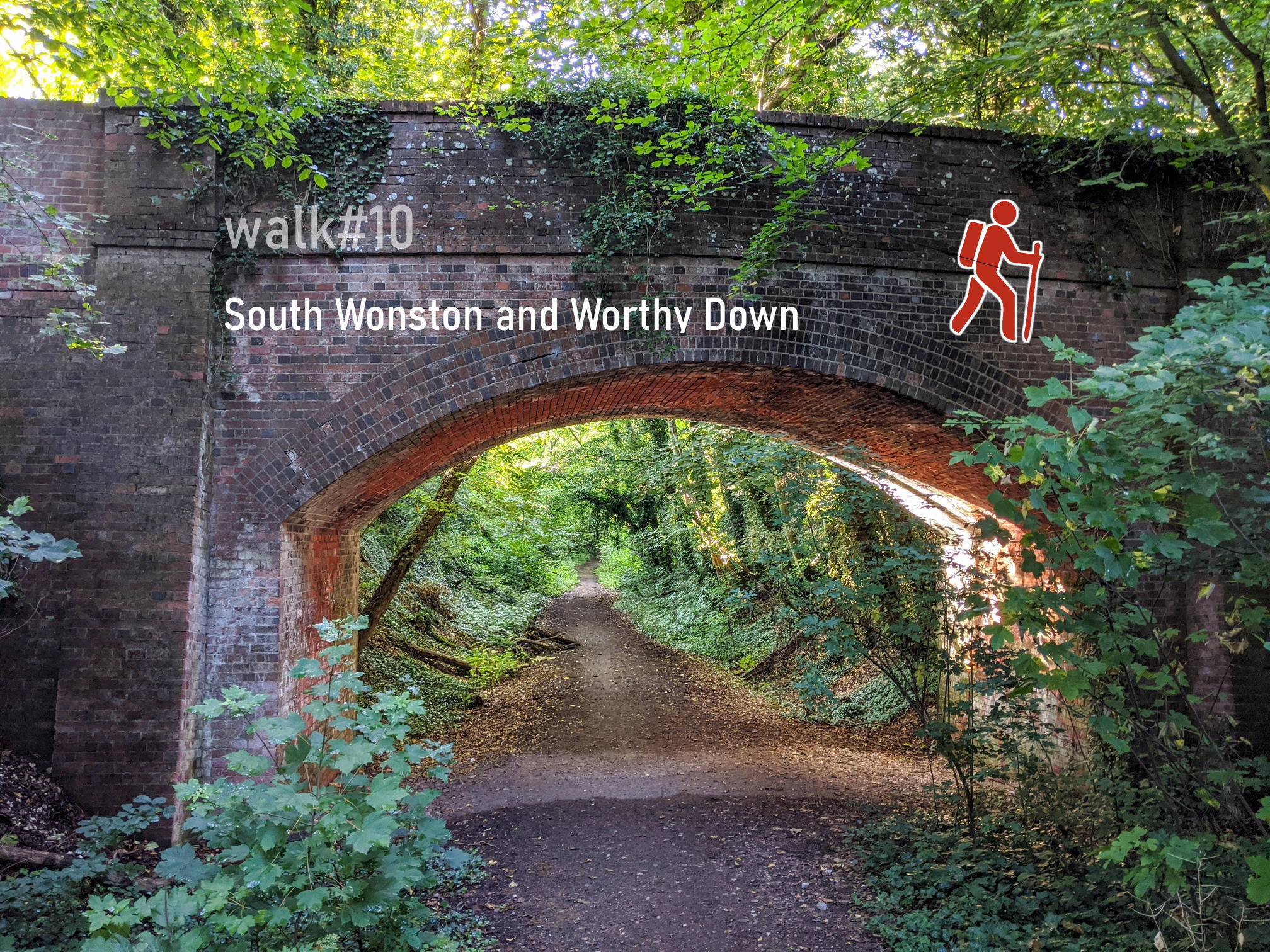
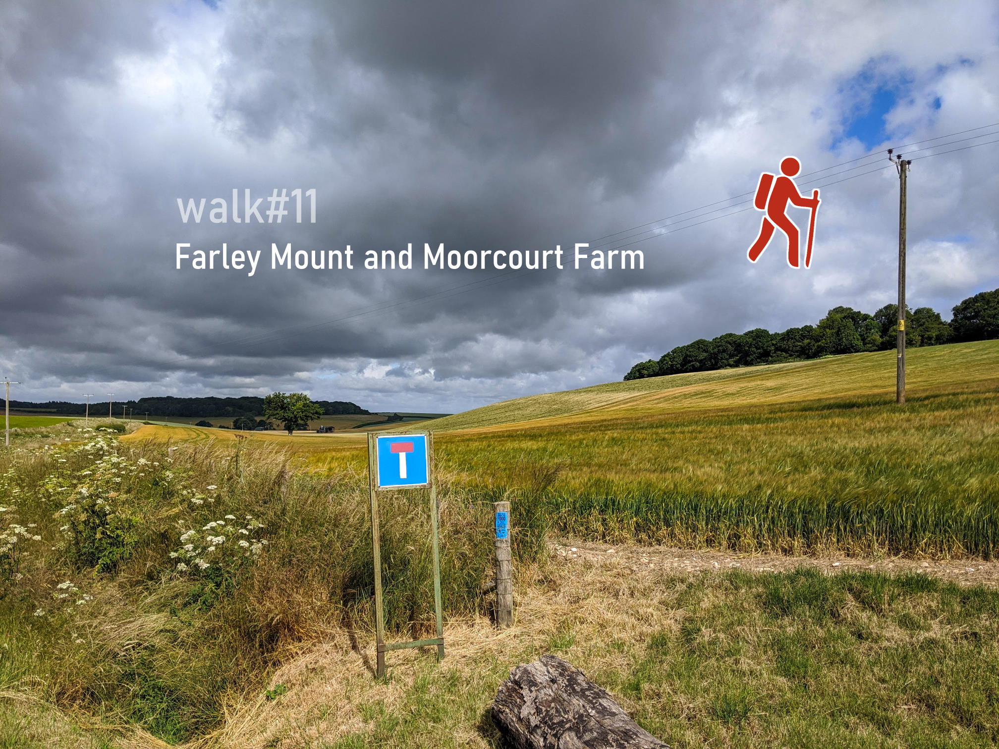
We have designed our routes to explore different parts of the city to get some variety and encourage you to try routes that are perhaps a little further away from your house. All walks loop back to the starting point and range from 1/2 hour to 4 hours. More importantly, you can choose any convenient starting point–perhaps you can walk to the nearest point on the route and start there. Here are all twelve walks:

WAlk 1 - Winnall Moors Wildlife Reserve

walk#1 – an easy, one hour stroll

walk2 - Kings Worthy loop

walk#2 – wetlands, footbridges and a bit of mud

walk3 - Barton Meadows Nature Reserve

walk#3 – wildflowers and deer

walk 4 - Hockley Viaduct and St. Cross Hospital

walk#4 – grand views of the city and farmlands

walk5 - St Catherine's Hill - Hockley golf course

walk#5 – hill fort and meadows

walk6 - Itchen Abbas, Avington and Easton

walk#6 – wild river and parkland

walk7 - Littleton Stud

walk#7 – horses, burial mounds and an avenue

walk 8 - Golf courses

walk#8 – 36 holes and a new village

Walk#9 - Magdalen Hill and Cheesefoot Head

walk#9 – south downs views

walk #10 - South Wonston and Worthy Down

walk#10 – railway line and watercress

walk#11 Moorcourt Farm

walk#11 – no man’s land to bluebell heaven

walk#12 Compton, Shawford and Otterbourne

walk#12 – from one sluice to the next

printable tracklist
Download a printable progress sheet (A4)
OS Explorer Map OL32 Winchester
Find out more about Winchester maps
Printable A4 overview map
Join our email list to receive occasional updates (no more than twice per month)

I am interested because

This website is a community resource for everyone living in or around Winchester. Let us know how useful the site is and how we can make it better, either by email or through a comment below.

Find the 12 walks on the map and click on numbers to find out details:

Help - how to navigate this map

full screen icon full screen mode
zoom in icon zoom in
zoom out icon zoom out
compass button compass to orient the map – north at the top
Phone/tablet/touchscreen:
– Tap on symbols for more information about the walks and starting points
– Pan map: Tap on map and drag into any direction
– Zoom In/out: Pinch with two fingers
– Tilt map: Tap with two fingers and drag up or down
– Rotate map: Tap with two fingers and rotate
Laptop with mouse:
– Click on symbols for more information about the walks and starting points
– Pan map: Left click on map with mouse and drag into any direction
– Zoom In/out: Mousewheel or ‘+’ ‘-‘ keys on keyboard
– Tilt map: Right click and drag mouse pointer up or down
– Rotate map: Right click and drag mouse pointer left or right

2 thoughts on “Complete the 12 walk challenge in Winchester”

  1. Michael Sommer March 6, 2021 at 10:13 am
    Reply

    I’ve done all of them and one or two not on this list 🌞

  2. Val August 2, 2021 at 6:57 am
    Reply

    Have done all off them and Winchester to Eastleigh

Leave a Reply Cancel reply

Your email address will not be published. Required fields are marked *

© walkWINCHESTER 2022 - T&Cs - privacy