Skip to content
walkWINCHESTER
walkWINCHESTER
  • About walkWINCHESTER
  • About Winchester, Hampshire
  • Affiliate
  • All walks
  • Beyond Winchester
  • Complete the 12 walk challenge in Winchester
  • Explore Winchester
  • Maps of Winchester, Hampshire
  • Privacy Policy
  • Short walks
  • Terms and conditions
  • Visit Winchester
  • walkWINCHESTER posts
  • Winchester walks

Explore Winchester

If you live in WINCHESTER you will know some parts of the city well. Follow Will Walker as he explores Venta Belgarum and its surrounding countryside.

We have put together 12 walks, starting from four well known starting points in the city. So, get outside, explore parts of the city you don’t know or haven’t been to for a while or discover new areas.

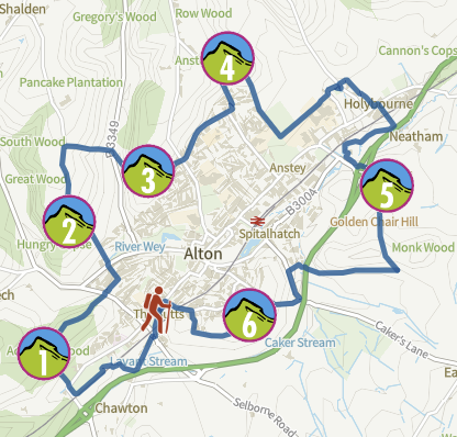
Pan and zoom to find all 12 walks and click on the numbers/symbols for details:

Help - how to navigate this map

full screen icon full screen mode
zoom in icon zoom in
zoom out icon zoom out
compass button compass to orient the map – north at the top
Phone/tablet/touchscreen:
– Tap on symbols for more information about the walks and starting points
– Pan map: Tap on map and drag into any direction
– Zoom In/out: Pinch with two fingers
– Tilt map: Tap with two fingers and drag up or down
– Rotate map: Tap with two fingers and rotate
Laptop with mouse:
– Click on symbols for more information about the walks and starting points
– Pan map: Left click on map with mouse and drag into any direction
– Zoom In/out: Mousewheel or ‘+’ ‘-‘ keys on keyboard
– Tilt map: Right click and drag mouse pointer up or down
– Rotate map: Right click and drag mouse pointer left or right

Our walks

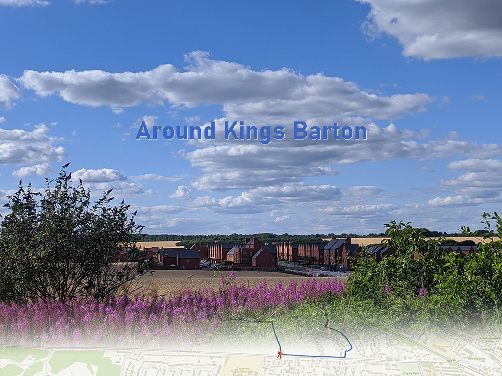
Our walks around Winchester are designed to encourage you to walk in all directions and discover beautiful countryside: rivers, moors, hills, butterfly reserves and woodlands are waiting for you.

We combine photographs from our own walks with interactive maps that can be used to navigate the walks on a mobile phone. We have walked around Winchester for years, but it was only during the spring 2020 lockdown that we discovered so many more areas.

Pan the map (above) and you will see that the walks cover all directions from 4 easy access points. Walks range from 3km for an easy start to a more challenging 20km. At a swift walking speed they will take between half an hour and five hours to complete. Here’s a list view of the 12 walk challenge.

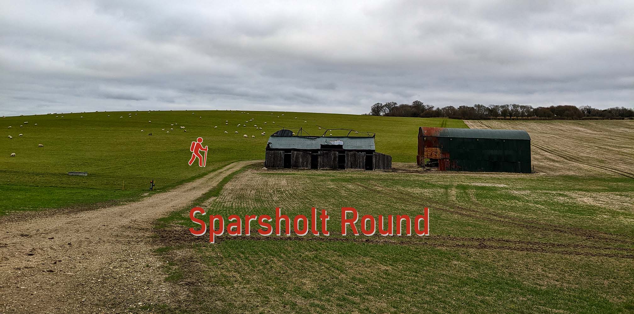
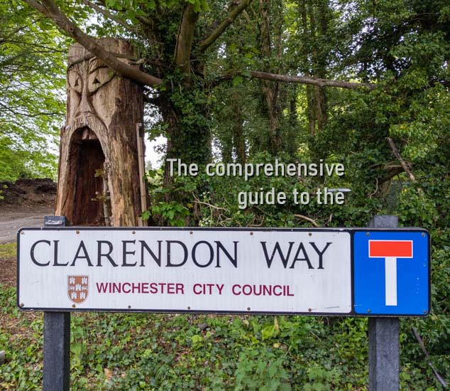
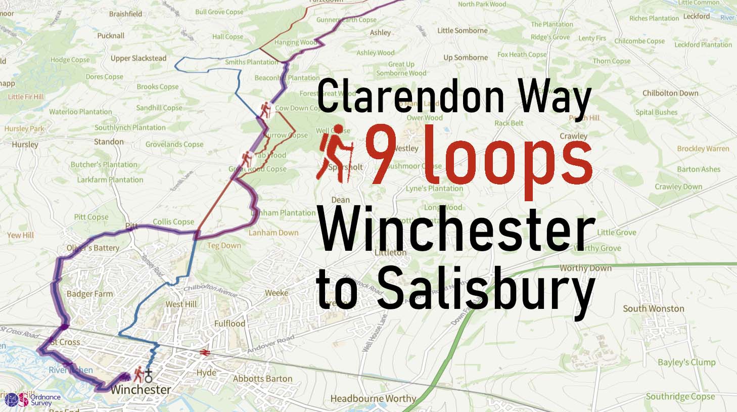
Alternative, try one of our short walks or the Clarendon Way in 9 loops.

Latest walks and maps

Historic Map 1885-1900
Maps
Winchester historic map
Around Kings Barton
short walk
Around Kings Barton
Beyond Winchester
Alton hill walk – the six hills of Alton
Sparsholt Round
short walk
Sparsholt Round from West Wood
The comprehensive guide to the Clarendon Way
Walk
Clarendon Way
Clarendon Way 9 loops
Walk
Clarendon Way – 9 loops

Winchester Maps OS Explorer map Winchester

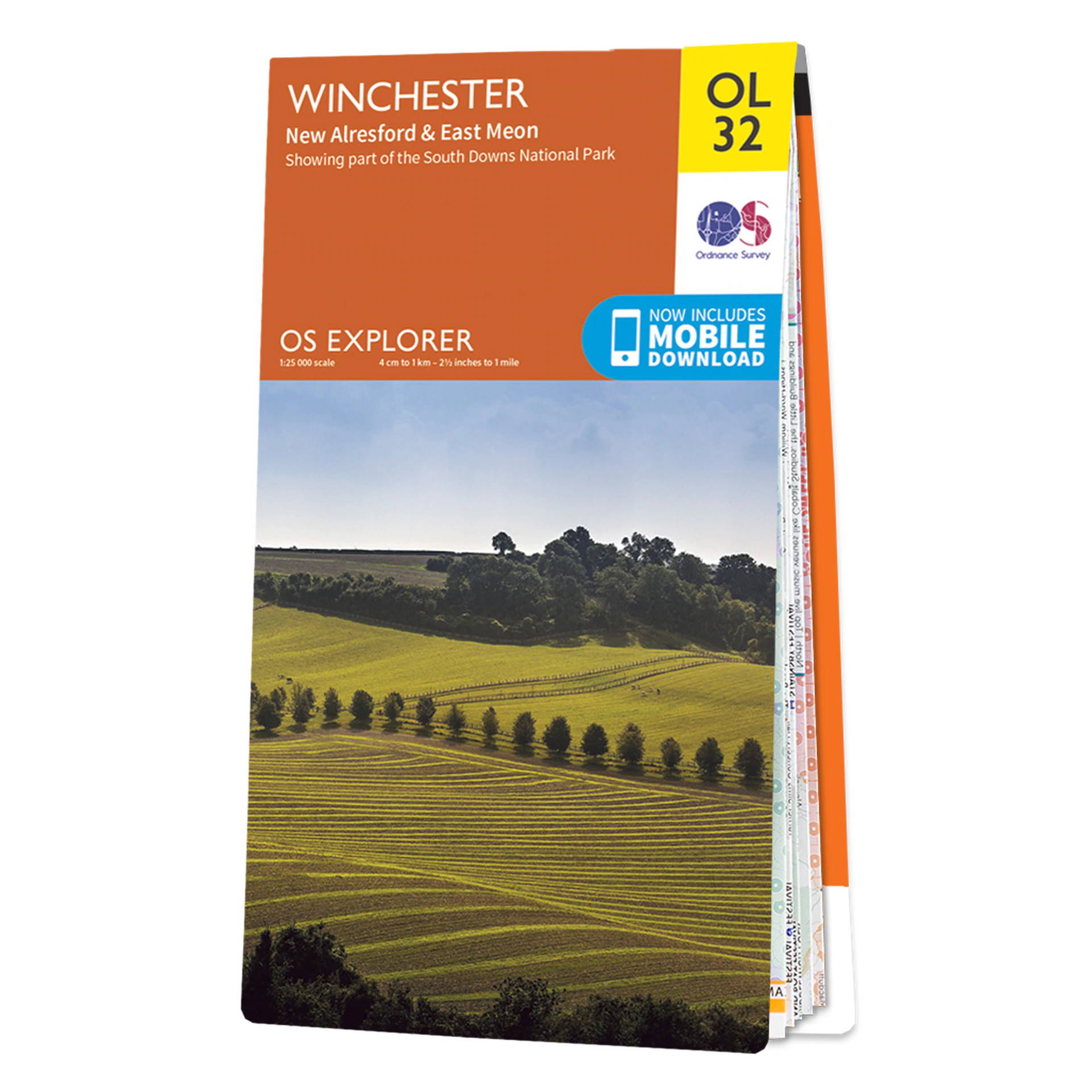
If you like paper maps, the Ordnance Survey Explorer map OL22 * covers the whole of Winchester and the surrounding areas from Chandlers Ford to Micheldever as well as Crawley to East Meon. There’s also an overview of Winchester area maps.

This image has an empty alt attribute; its file name is black-friday-sale-os-1024x512.jpg

3D fly-through Winchester - Cheesefoot Head

Each walk has an interactive, GPS-enabled map – we hope this is more intuitive than long textual descriptions of the routes.

Follow Will Walker on his walk from King Alfred, across St Giles Hill to Magdalen Down and up to Cheesefoot Head before returning back to Winchester city centre on this interactive 3D fly-through of walk#9.

Join our email list to receive occasional updates (no more than twice per month)

I am interested because

Neve | Powered by WordPress