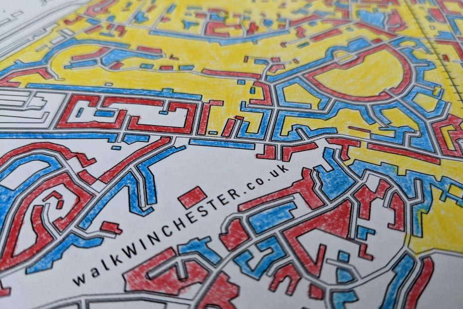
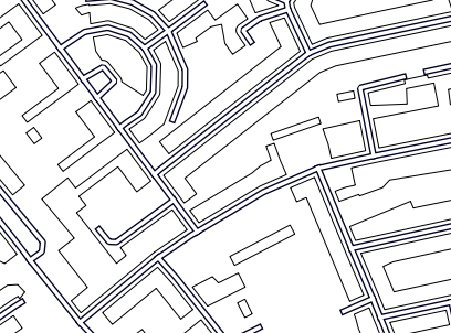
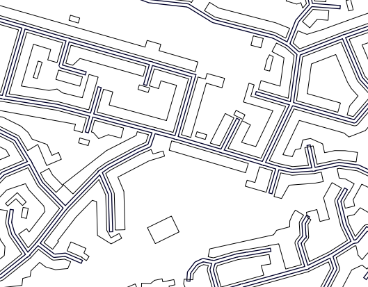
The stylized black and white line work of many maps is a great backdrop for colouring – give Winchester some colour. We made a few black and white maps for you to colour in, free A4 size PDF downloads:
Central part of Winchester – larger shapes
at a scale of 1:5,000 – better for smaller kids
Central part of Winchester – smaller shapes
at a scale of 1:10,000 – a bit fiddlier, for older kids and adults
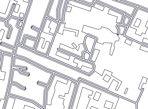
Westgate school – larger shapes
at a scale of 1:5,000 – better for smaller kids
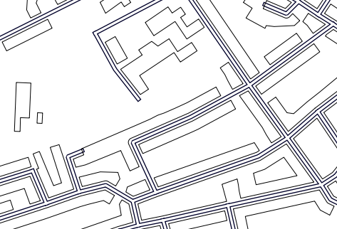
Weeke primary school – larger shapes
at a scale of 1:5,000 – better for smaller kids
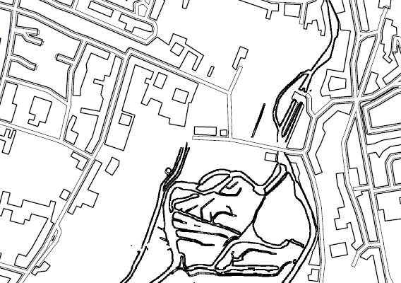
Stanmore – larger shapes
covers Stanmore primary and Scout hut at Somers Close at a scale of 1:5,000 – better for smaller kids
Contact us if you would like additional, downloadable maps in other parts of town
link back to overview of Winchester maps
The maps are crafted from Ordnance Survey data and focus on the pattern of streets and buildings but also brings in the flowing curves of the river Itchen between St Cross and Bar End. Why don’t you give it a try?
Map colouring is a soothing and relaxing activity for both kids and adults, particularly on those rainy days. Alternatively, if you need to get away from the screen for a little while, colouring in provides a bit of low-tech relaxation.
You can paint your own picture on top of the map or give the map your very own style. Print out the map, rest your eyes on the sheet, pick some beautiful colours – colour pens/pencils or even water colours are great – and let your mind wander.
Help us to give this webpage some colour. We would like to showcase Winchester in colour – take a photo or scan your map and email it to us.