There are two map series published by Ordnance Survey for the Winchester area: the Explorer map and the Landranger map. Both were last published in June 2015.
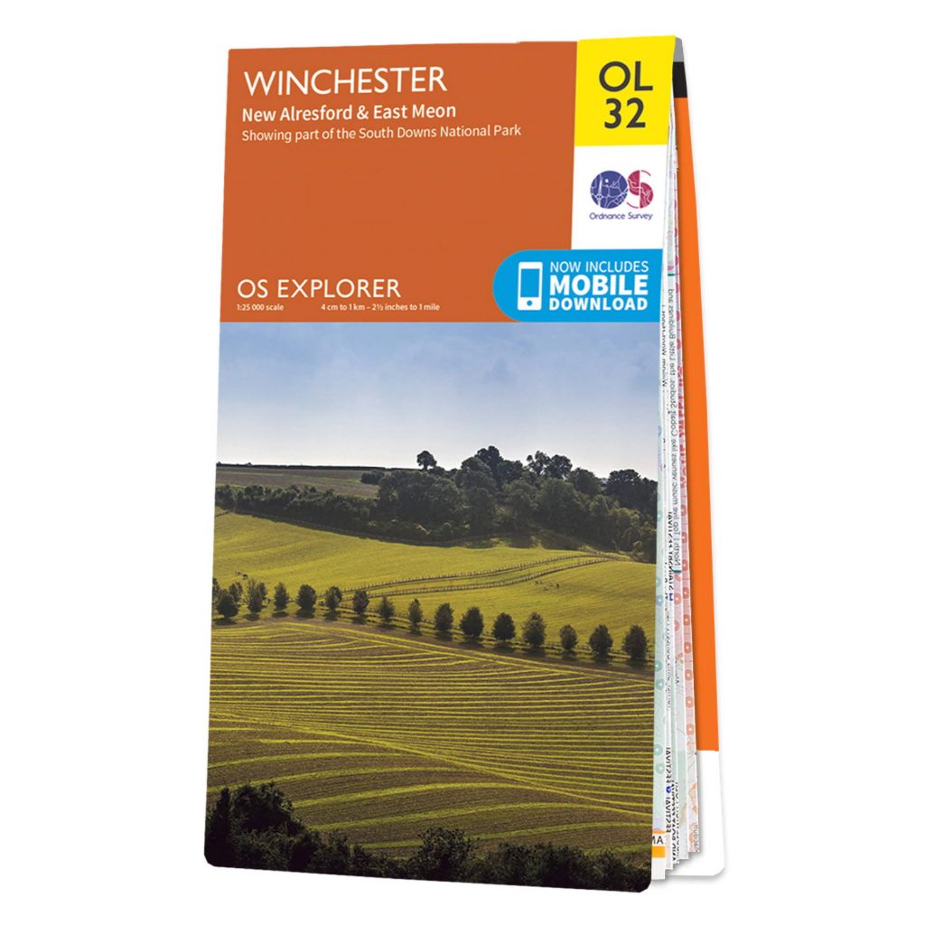
Explorer map Winchester
Explorer maps are detailed at a 1:25,000 scale and show every public right of way recorded by the relevant local council. Additionally, permissive footpaths (paths where the land owner grants a right of way voluntarily) are also included. Hampshire County Council is responsible for right of ways in and around Winchester–and allows any problems to be reported here.
A total of 403 Explorer maps cover Great Britain. A map selector lets you see all available map. Each map is are £8.99, though there is a very useful weatherproof version available at £14.99. The map is covered by a thin plastic film and it is possible to write on it with a felt-tipped pen. The perfect map to mark and record the footpath you discover and track your progress against the 12-walks challenge.
The Explorer maps are great to plan routes in detail. As Winchester is in a reasonably central position on this map sheet, the map covers most routes in the direct vicinity of Winchester. A digital download code is attached an can be used to display this map in the OS maps app. This is handy if you want to access OS leisure mapping on a laptop and mobile device and save the the premium subscription fee that would also give you access to this type of mapping on the OS maps application.
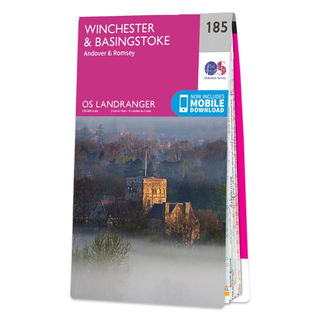
Landranger map Winchester
There is also the Landranger series, these maps are great to get a better overview of a larger area as they feature a smaller scale at 1:50,000. As you can see on the map title, the map also covers Basingstoke, Andover and Romsey. A digital download code is also included.
A total of 204 Landranger sheets cover Great Britain. Each map is are £8.99, though there is a very useful weatherproof version available at £14.99; the same pricing as the Explorer maps.
You can also personalise your Landranger or Explorer map and put Winchester (or any other area) at the centre of the map. You can create a custom cover which makes for a really nice present*. These start from £16.99.