Skip to content
walkWINCHESTER
walkWINCHESTER
  • About walkWINCHESTER
  • About Winchester, Hampshire
  • Affiliate
  • All walks
  • Beyond Winchester
  • Complete the 12 walk challenge in Winchester
  • Explore Winchester
  • Maps of Winchester, Hampshire
  • Privacy Policy
  • Short walks
  • Terms and conditions
  • Visit Winchester
  • walkWINCHESTER posts
  • Winchester walks

walk#2 – wetlands, footbridges and a bit of mud

  • by Will Walker
  • May 6, 2023
  • 2 Comments
walk2 - Kings Worthy loop

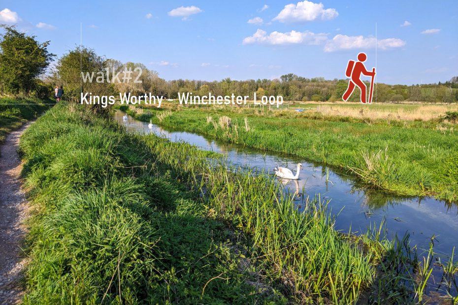
There’s a lovely area of the River Itchen wedged between Winnall and Abbotts Barton that is part of the South Downs National Park. This is a loop you can either walk from Kings Worthy or the city centre. It loops around a wetland that is formed by the various streams of the River Itchen.

Help - how to navigate this map

full screen icon full screen mode
zoom in icon zoom in
zoom out icon zoom out
compass button compass to orient the map – north at the top
locate-button locate your current position on the map (browser will ask for permission, works best on phones due to use of GPS). We don’t track your location.

Phone/tablet/touchscreen:
– Tap on symbols for more information about the walks and starting points
– Pan map: Tap on map and drag into any direction
– Zoom In/out: Pinch with two fingers
– Tilt map: Tap with two fingers and drag up or down
– Rotate map: Tap with two fingers and rotate
Laptop with mouse:
– Click on symbols for more information about the walks and starting points
– Pan map: Left click on map with mouse and drag into any direction
– Zoom In/out: Mousewheel or ‘+’ ‘-‘ keys on keyboard
– Tilt map: Right click and drag mouse pointer up or down
– Rotate map: Right click and drag mouse pointer left or right

Start and end point: St Mary’s Church, Kings Worthy, alternative starting point at Winchester Art School in the city centre

Length: 7.4 km / 4.5 miles
Time: 1 hour 35 minutes at a swift pace + breaks
Difficulty: Easy – flat, some of the paths can be muddy after rain
Parking: Roadside, off London Road in Kings Worthy or any city centre car park (alternative starting point)
Public transport: buses to Springvale and Winchester central bus station for alternative route

Click to view in OS Maps

The walk can be combined with walk#6 from Kings Worth to total ca 19 km or 12 miles.

Highlights of walk#2

Fulling Mill, south of Abbots Worthy

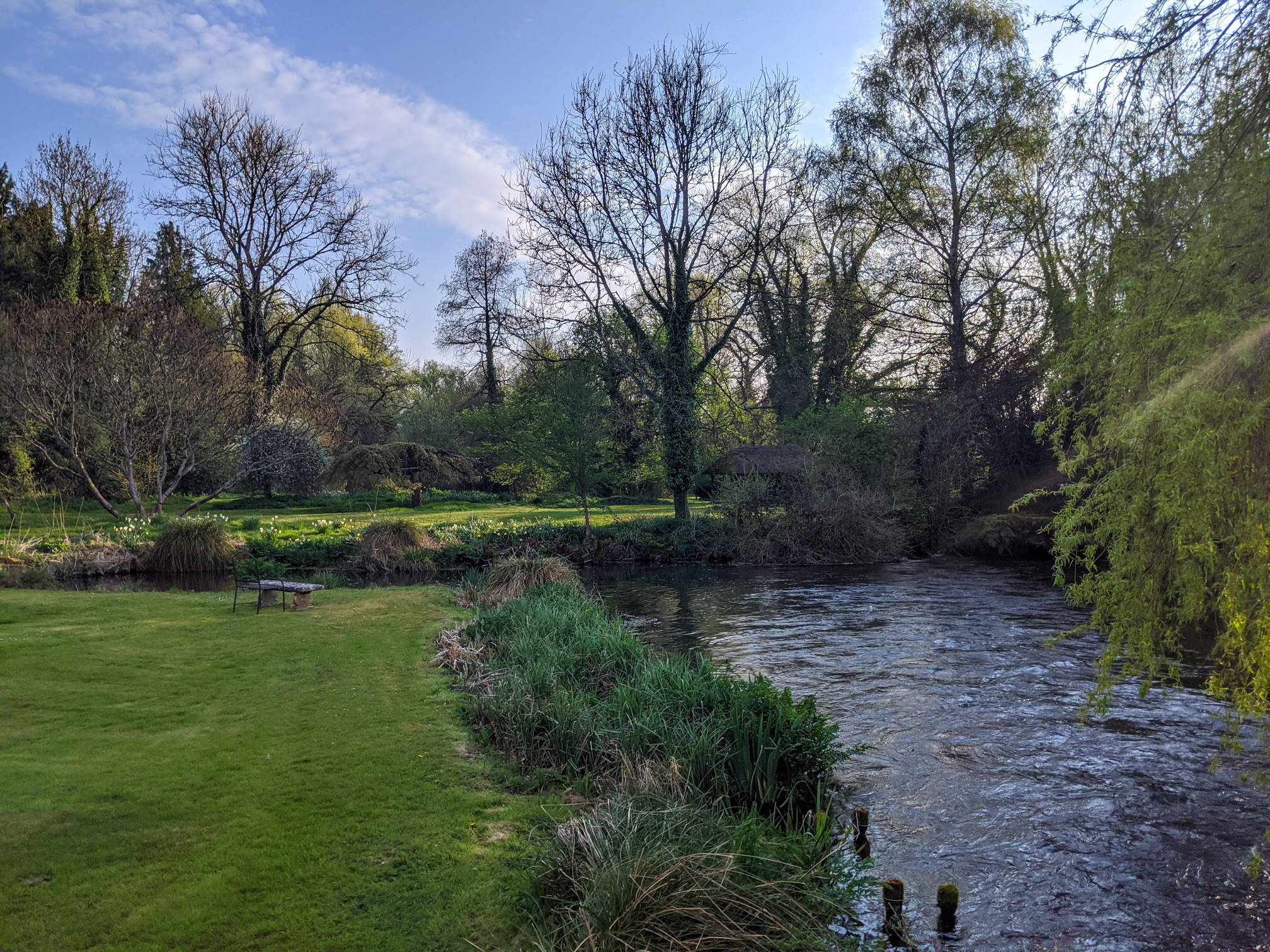
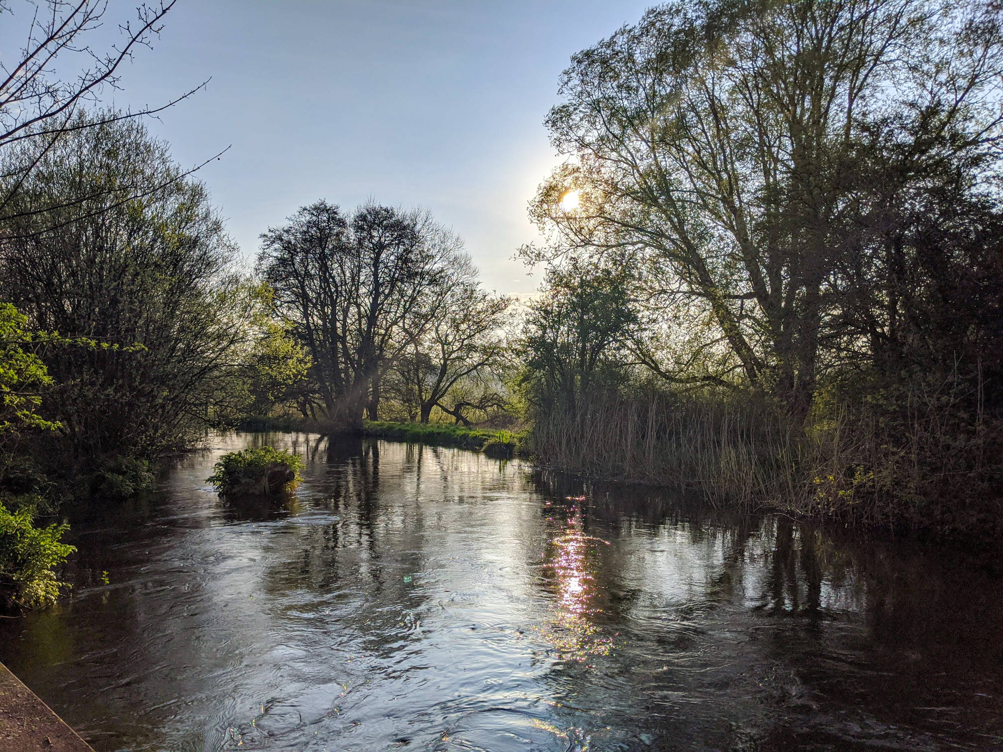
Walk 2 takes us from Kings Worthy to the Winchester, or the other way round, along different stretches of the River Itchen. The area around Fulling Mill is one of our favourite riverside locations. The path next to the Wykeham Industrial estate in Winnall follows the course of the old Southampton-Newbury-Didcot railway line.

Fulling Mill, south of Abbots Worthy II
Fulling Mill, south of Abbots Worthy
Spring blossoms at Fulling Mill
Spring blossoms at Fulling Mill II
Spring blossoms at Fulling Mill
Public Footpaths
Public Footpaths
River Itchen A34 Underpass
Thicket, by the A34
Thicket, by the A34
St Swithun's Way
St Swithun’s Way

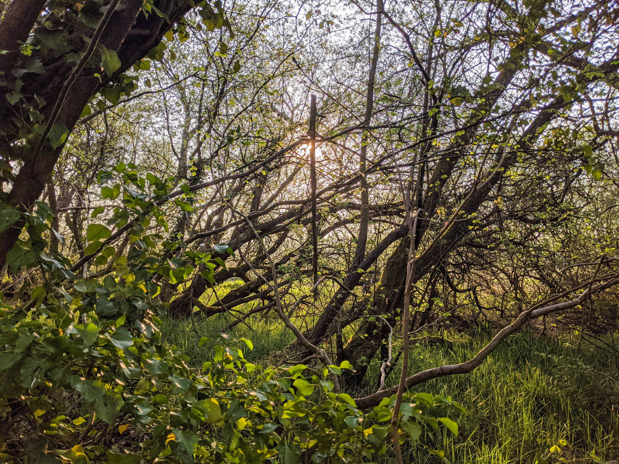
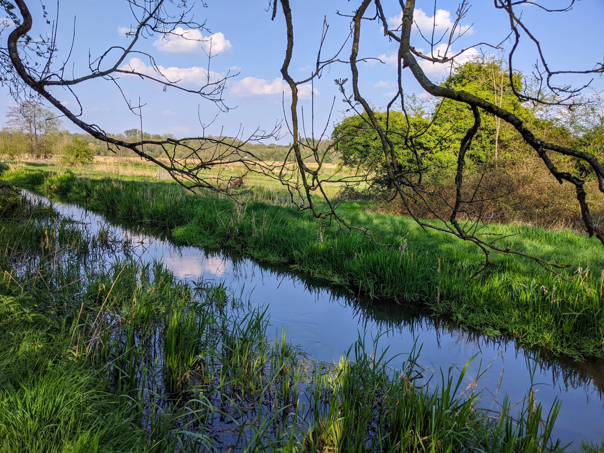
Photos were taken in April 2020.

2 thoughts on “walk#2 – wetlands, footbridges and a bit of mud”

  1. Nicola Morris April 4, 2021 at 2:38 pm
    Reply

    Loved this walk. Have lived 10 miles from Winchester for over 20 years and never thought to walk here. Took one wrong turn when not concentrating and ended up adding 2km to loop back but now realise there was a locate button on the map which I hadn’t seen. Really enjoyed it 😄

  2. Lyn May 24, 2023 at 1:24 pm
    Reply

    This was a lovely little walk we started at Hilliers Haven and ended back in town. A perfect walk for a sunny day.

Leave a Reply Cancel reply

Your email address will not be published. Required fields are marked *

Tags:easymuddy pathsriver
© walkWINCHESTER 2022 - T&Cs - privacy