How can maps be used to manage the develop our environment and lessen the environmental impact of housing in Hampshire?
Below is a nice illustration of using interactive maps to map the river catchment areas in Hampshire and using this to evaluate planning proposals.
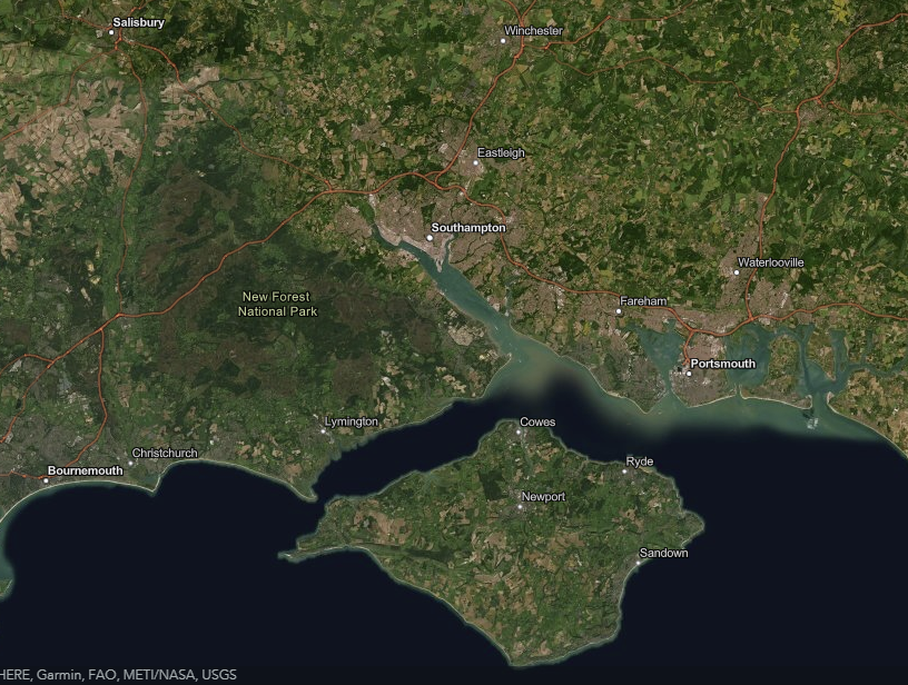
The project area is East Hampshire District Council, juts to the East of Alresford.
The technology used is called story map and allows text, photos and other media to be combined with interactive maps.
Back to overview of local maps.