Skip to content
walkWINCHESTER
walkWINCHESTER
  • About walkWINCHESTER
  • About Winchester, Hampshire
  • Affiliate
  • All walks
  • Beyond Winchester
  • Complete the 12 walk challenge in Winchester
  • Explore Winchester
  • Maps of Winchester, Hampshire
  • Privacy Policy
  • Short walks
  • Terms and conditions
  • Visit Winchester
  • walkWINCHESTER posts
  • Winchester walks

walk#3 – wildflowers and deer

  • by Will Walker
  • September 12, 2021
  • 5 Comments
walk3 - Barton Meadows Nature Reserve

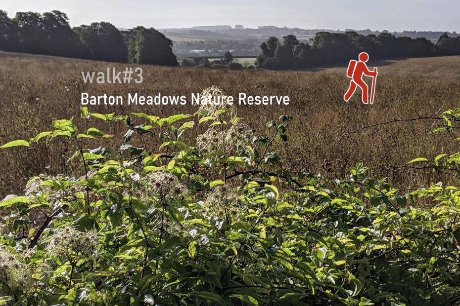
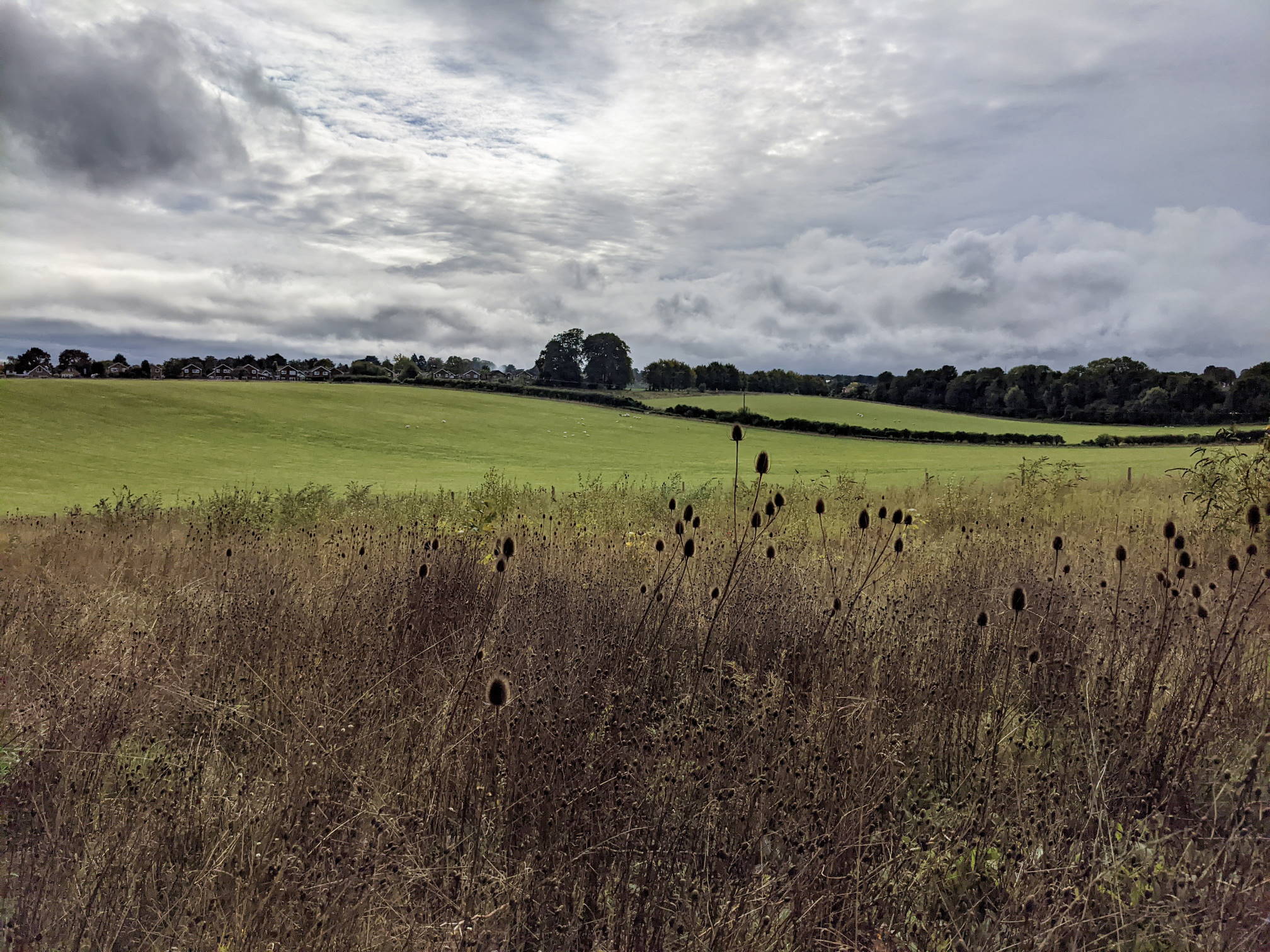
Not far away from Waitrose in Weeke, or even closer from Andover Road, Barton Meadows Nature Reserve is a fairly recent addition to the walkable greenspaces within Winchester. This is a fairly easy 7 kilometres with 100 m of ascent as the Nature reserve itself is a little hilly. After the walk, reward yourself with a drink or meal at one of the cafes restaurants or shops in Stoney Lane.

Help - how to navigate this map

full screen icon full screen mode
zoom in icon zoom in
zoom out icon zoom out
compass button compass to orient the map – north at the top
locate-button locate your current position on the map (browser will ask for permission, works best on phones due to use of GPS). We don’t track your location.

Phone/tablet/touchscreen:
– Tap on symbols for more information about the walks and starting points
– Pan map: Tap on map and drag into any direction
– Zoom In/out: Pinch with two fingers
– Tilt map: Tap with two fingers and drag up or down
– Rotate map: Tap with two fingers and rotate
Laptop with mouse:
– Click on symbols for more information about the walks and starting points
– Pan map: Left click on map with mouse and drag into any direction
– Zoom In/out: Mousewheel or ‘+’ ‘-‘ keys on keyboard
– Tilt map: Right click and drag mouse pointer up or down
– Rotate map: Right click and drag mouse pointer left or right

Start and end point: Waitrose/Aldi on Stockbridge Road, alternative starting point on Andover Road (shorter walk).

Length: 7.1 km / 4.4 miles
Time: 1 hour 35 minutes at a swift pace + breaks
Difficulty: Easy/Moderate – 100m total ascent, no cycles on pathway around Nature Reserve
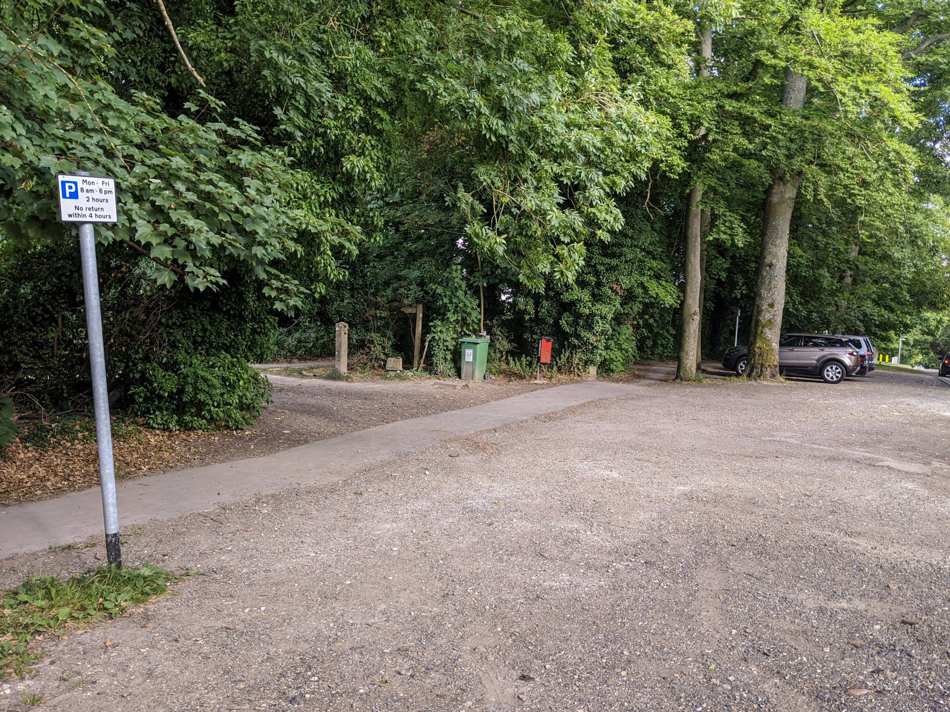
Parking: behind Waitrose, off Fromond Road
Public transport: buses to Fromond Road (bus #3) from Winchester City Centre
Variation: Shorter walk from Andover Road (indicated on map above)

Click to view in OS Maps

walk#10 also goes across Barton Meadows.

Highlights of walk#3

Hedgerow across the Nature Reserve (May 2020)

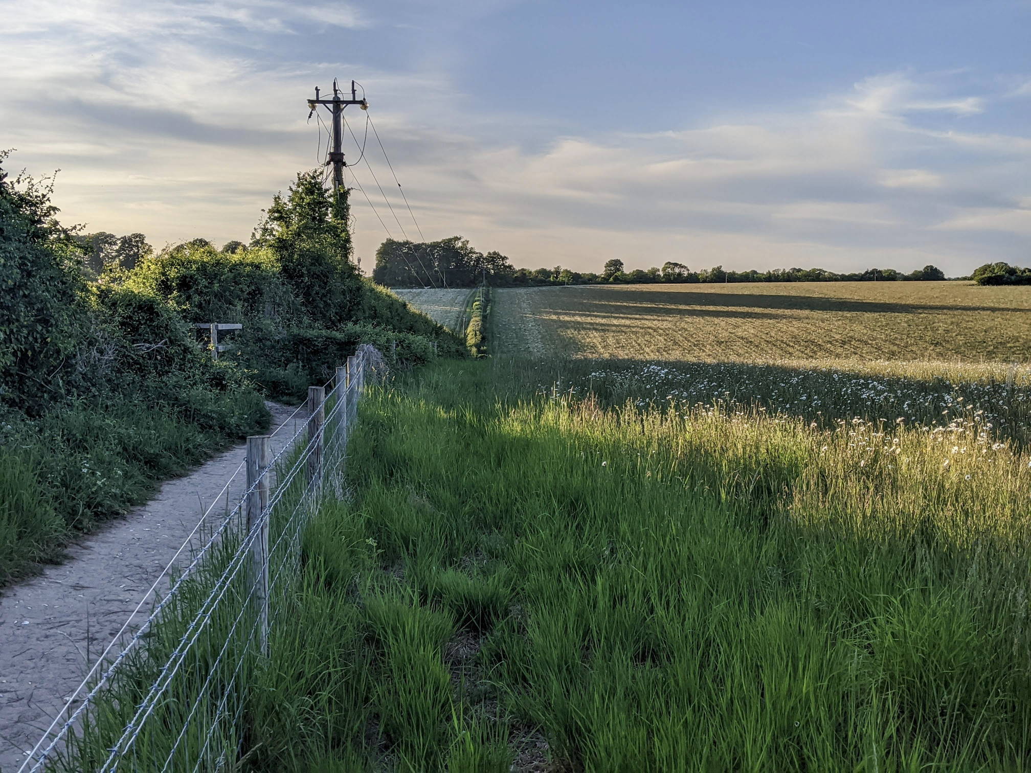
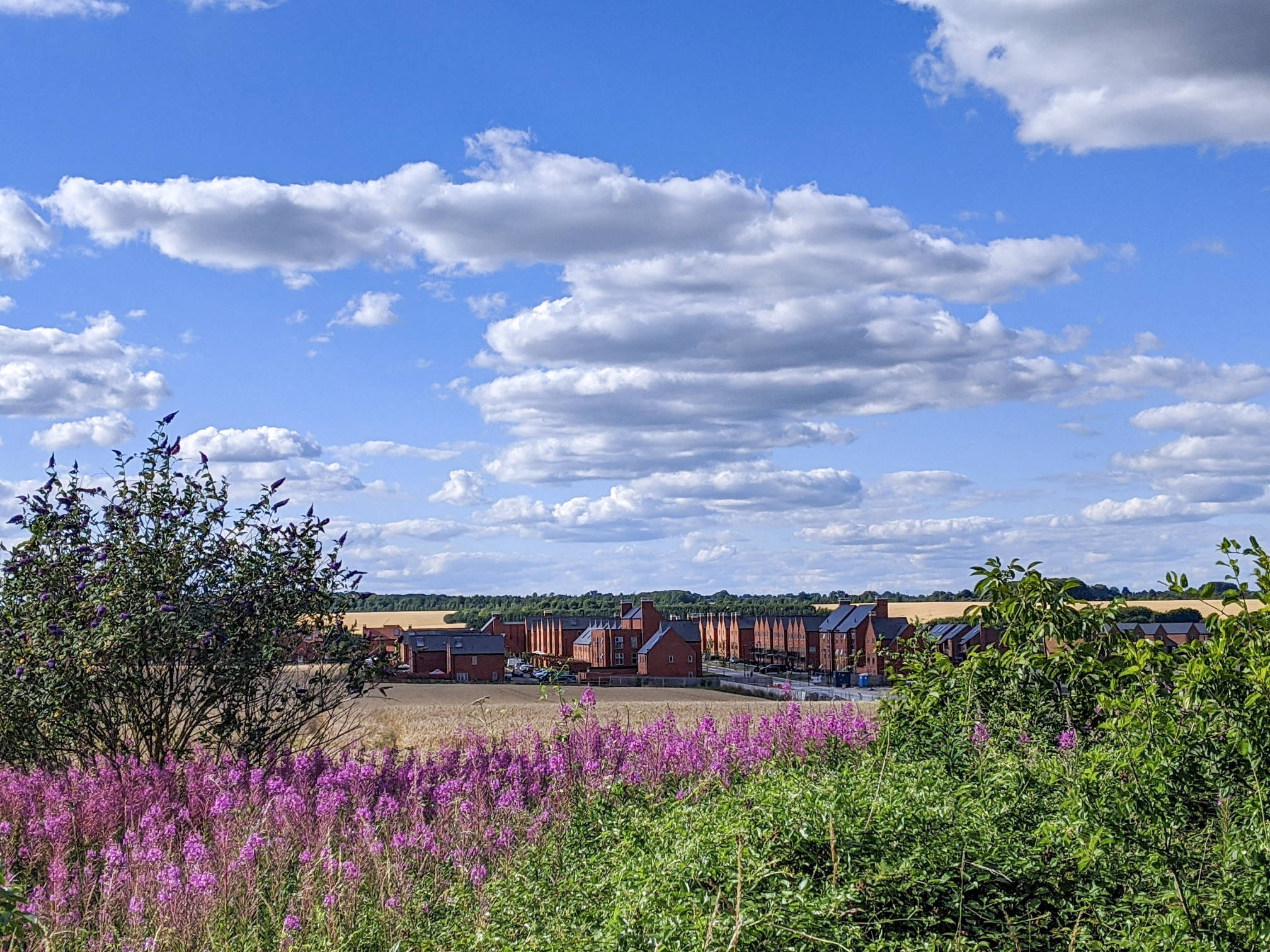
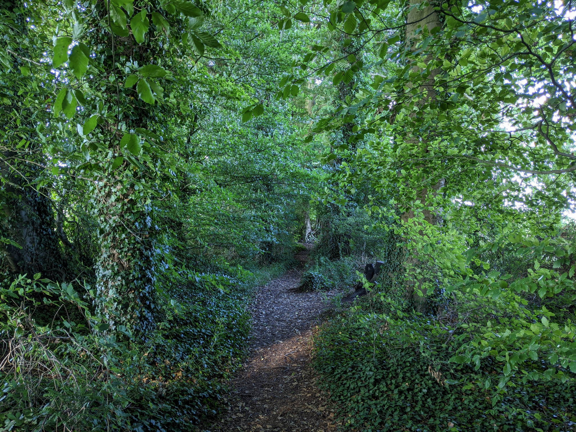
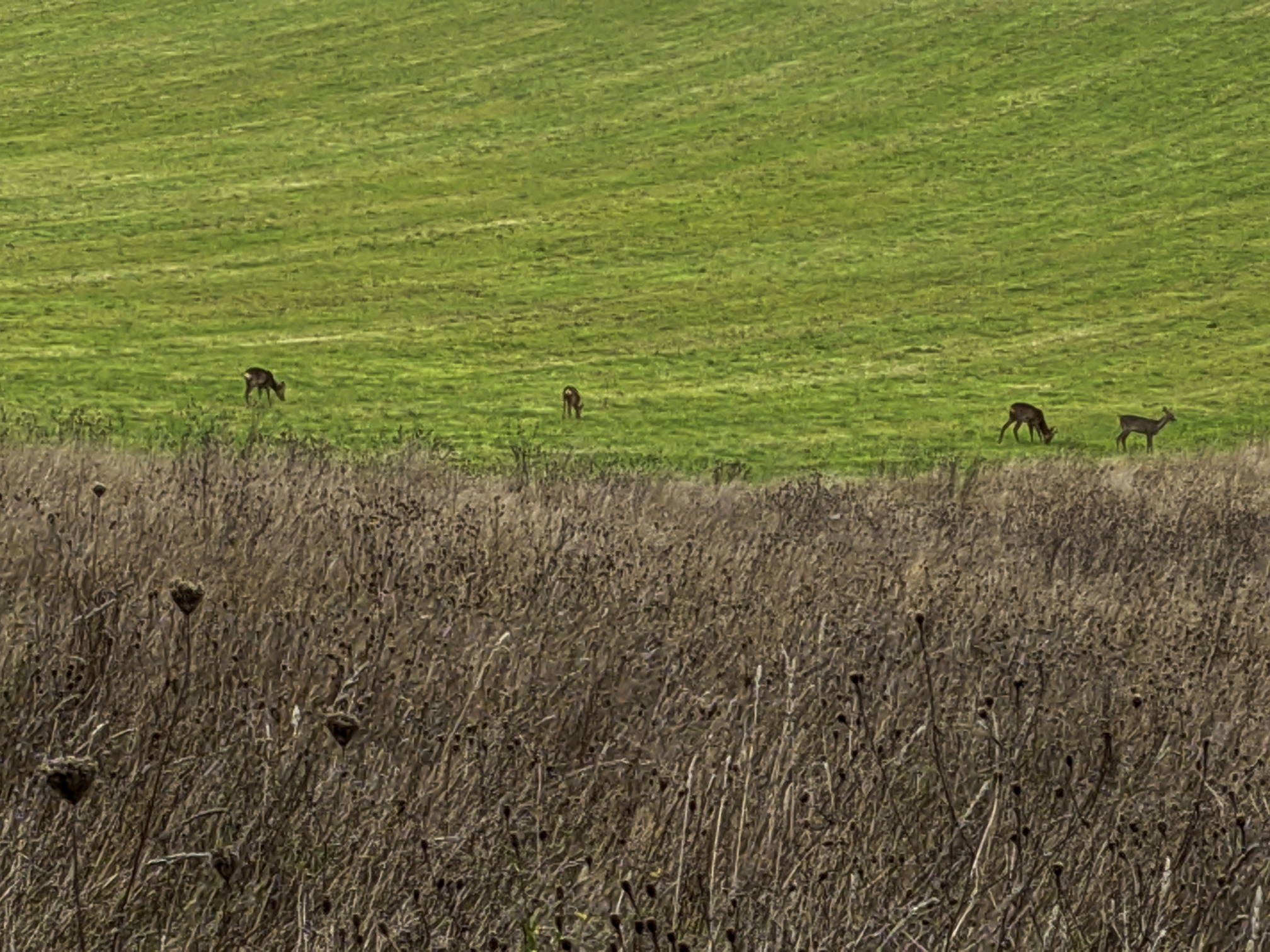
Wildflowers are in bloom in in spring and summer whilst in autumn sheep can be seen grazing. Deer can also be seen on and off. Barton Meadows Nature Reserve is Winchester’s newest addition to its list of greenspaces within the city. It is on the other side of the railway line from the large Kings Barton housing development with a circular footpath going around it.

Entrance to field (and alternative parking), Andover Rd (July 2020)
View to Kings Barton (July 2020)
Tree belt (May 2020)
Circle (July 2020)
Path around the Nature Reserve
Path around the Nature Reserve (July 2020)
Harvest (July 2020)
Barton Meadows 'lake'
View from the path next to the railway embankment towards the growing Barton Farm Housing Development with the flooded drainage area in the foreground (October 2020)
Colourful machinery in the in the industrial estate off Wellhouse Lane (November 2020)
From the northern end of Barton farm you can have a peek at the colourful machinery in the in the industrial estate off Wellhouse Lane (November 2020)
Sheep are grazing on Barton Meadows whilst the thistle’s spears speak of a bygone summer (October 2020)

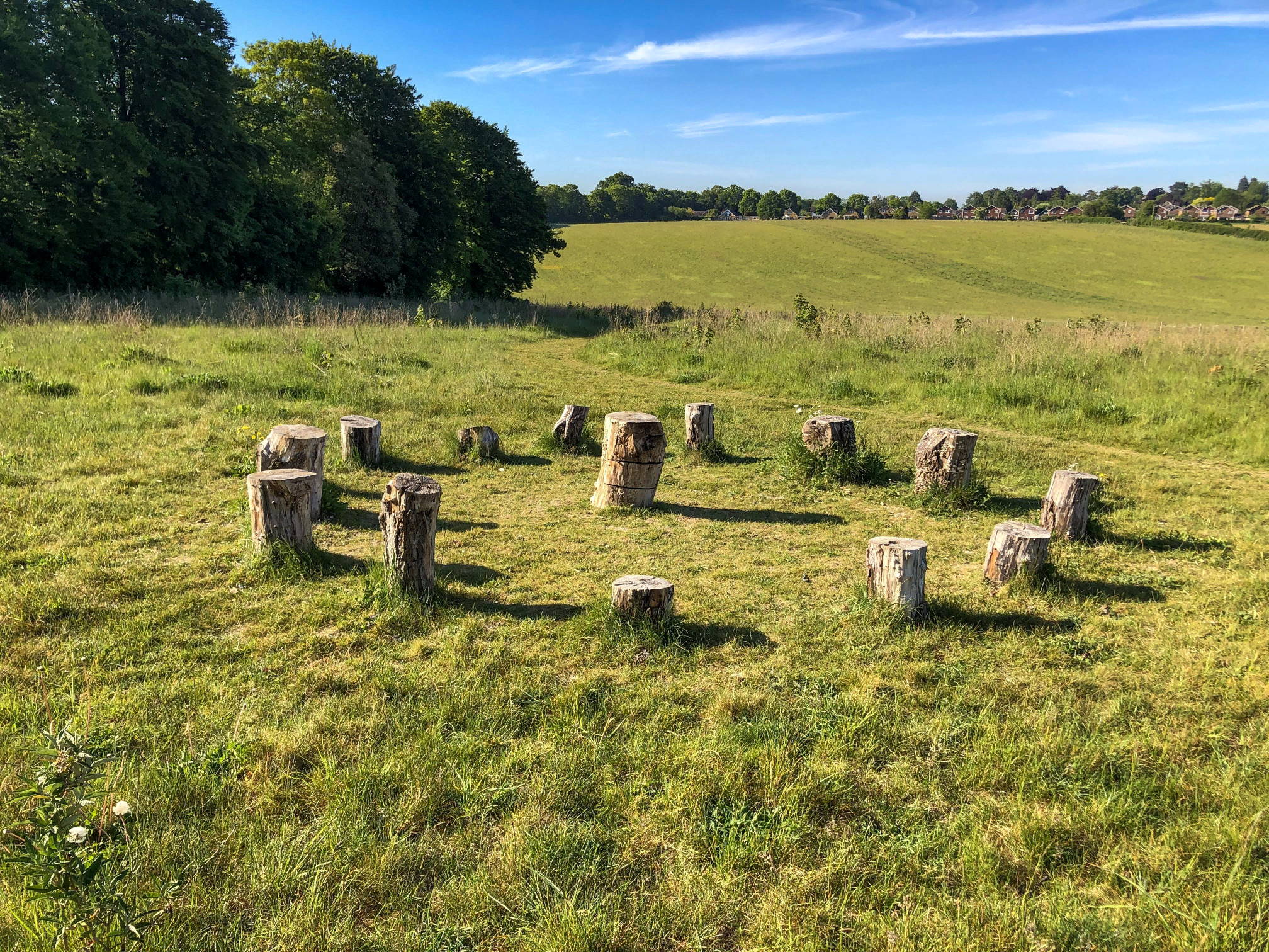
Wildlife on the meadows

Deer are back on Barton Meadows (October 2020)
sign on Barton meadows
New sign went up in late November 2020–part of the footpath can get very muddy

This walk is part of the 12 walks challenge. Walk#10 also goes across Barton Meadows.

5 thoughts on “walk#3 – wildflowers and deer”

  1. Rachel Bradley February 6, 2021 at 3:58 pm
    Reply

    Loved it! Thank you. Should have taken a map as got a bit lost at one point and had to do a return loop but that gives us the chance to try it again and get it right! Took us longer to walk 7km than you suggest….not sure if we are slow or you are super fast!

    1. Will Walker February 6, 2021 at 9:40 pm
      Reply

      Hi Rachel, Sorry to hear you got lost a bit. I just added a locate button to the map for each walk-it appears in the lower righthand corner. If you take your mobile phone on the walk, it should display your position with a blue dot wherever you are. Alternatively, use the OS maps app link above. You will have the option to install the OS app on the phone which might be useful if you want to do more exploring.

    2. Will Walker February 6, 2021 at 9:58 pm
      Reply

      The duration is based on https://en.wikipedia.org/wiki/Naismith%27s_rule and assumes you are fairly fast (5km per hour on a flat walk + an allowance for climbs). I have done walk#3 in about an hour and a half many times, but that doesn’t really allow for orientation or any other stops. Thanks for your feedback – I’ll clarify this on the website and suggest that extra time should be allowed for breaks, if you are not familiar with the location.

  2. Simon Wilson November 27, 2022 at 11:02 am
    Reply

    Thanks so much for taking the time to put these walks together. We had a lovely stroll with our dog around Barton Meadows this morning, an area of town we did not know at all. Directions and maps all spot on and integrated smoothly with my OS maps app.

    1. Will Walker November 27, 2022 at 8:05 pm
      Reply

      Thank you, Simon. Appreciate the feedback. Good to know you are using the OS maps app and the integration worked. OS maps is my favourite outdoor app and all walks on WalkWinchester are available on the app.

Leave a Reply Cancel reply

Your email address will not be published. Required fields are marked *

Tags:cityfieldsmoderate
© walkWINCHESTER 2022 - T&Cs - privacy