Skip to content
walkWINCHESTER
  • 12 walks
  • Clarendon Way
  • Short walks
  • Beyond Winchester
walkWINCHESTER
  • Short walks
    • Magdalen Hill Down
    • Farley Church
    • See the Greta Thunberg statue in Winchester for yourself
    • Ham Green, Sparsholt
  • Clarendon Way – 9 loops
    • Clarendon Way loop 1 – Sarum Road
    • Clarendon Way loop 2 – West Wood
    • Clarendon Way loop 3 – Farley Mount
    • Clarendon Way loop 4 – Furzedown and Beacon Hill
    • Clarendon Way loop 5 – Houghton and Bossington
    • Clarendon Way loop 6 – Broughton
    • Clarendon Way loop 7 – West Tytherly, Norman Court
    • Clarendon Way loop 8 – Clarendon Park
    • Clarendon Way loop 9 – Clarendon Palace
  • Complete the 12 walk challenge in Winchester
    • walk#1 – get started with an easy, half hour walk
    • walk#2 – wetlands, footbridges and a bit of mud
    • walk#3 – fields, wildflowers and deer (if you are lucky)
    • walk #4 – grand views of the city and farmlands
    • walk#5 – hill fort, bunkers and meadows
    • walk #6 – wild river and parkland
    • walk#7 – horses, burial mounds and an avenue
    • walk#8 – 36 holes and a new village
    • walk#9 – South Downs views
    • walk#10 – railway line and watercress
    • walk#11 – no man’s land to bluebell heaven
    • walk#12 – from one sluice to the next
  • Visit Winchester
    • Starting point: King Alfred statue, Winchester
  • Maps of Winchester, Hampshire
    • Explore historic maps of Winchester
    • Colouring in maps Winchester
    • Managing environmental impact of housing development in Hampshire
    • Explorer map Winchester – Ordnance Survey paper maps
  • Beyond Winchester
    • Barton on Sea to Hordle Cliff
    • OS Maps Australia review: From Wales to New South Wales
    • Rhossili Down
    • Quiraing walk 3D fly-through
    • Where is this ? Random Earth
  • About walkWINCHESTER
    • Privacy Policy
    • Affiliate
    • Terms and conditions
  • About Winchester, Hampshire
    • Winchester place names
  • Winchester Books
  • All walks

walk#10 – railway line and watercress

  • by Will Walker
  • June 25, 2022
walk #10 - South Wonston and Worthy Down

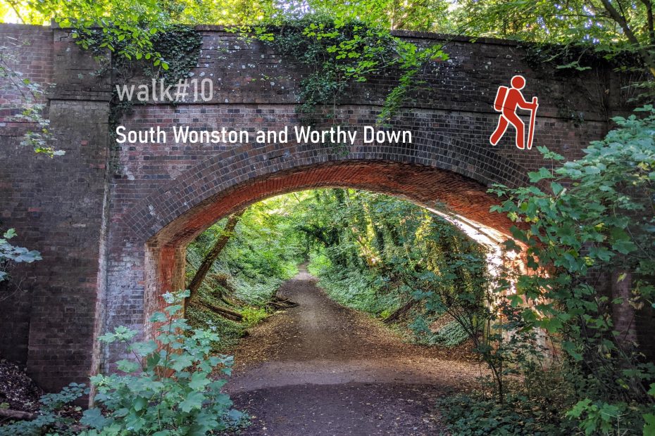
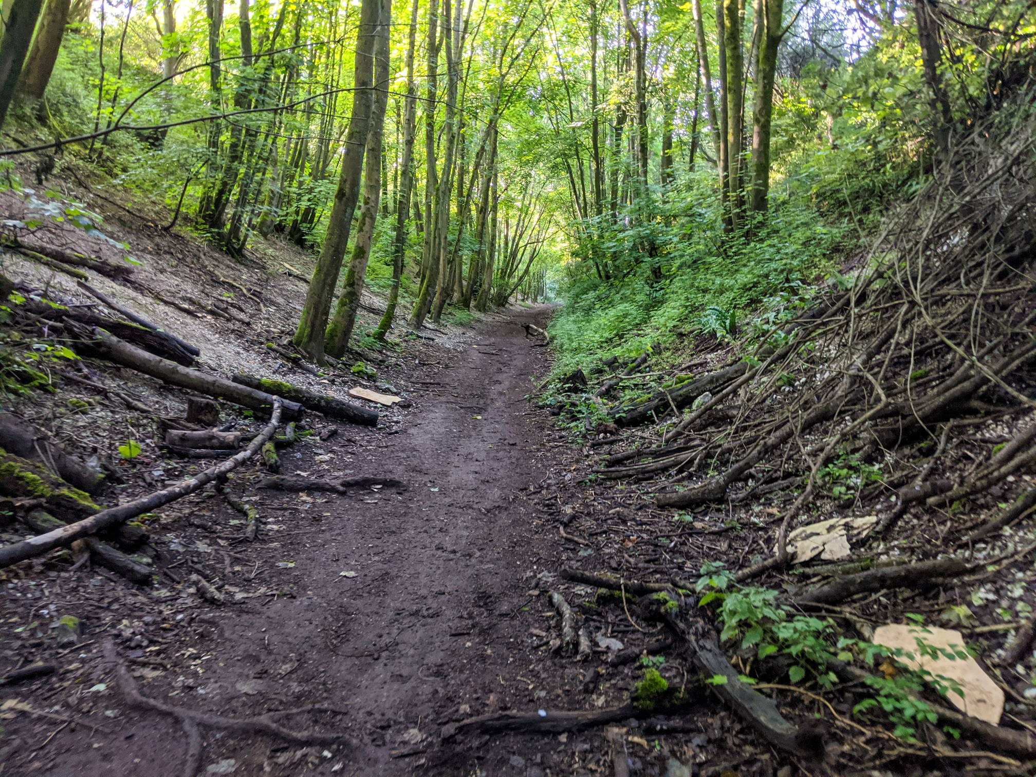
On the way to South Wonston we walk through Headbourne Worthy, skirt the Barton Meadows Nature Reserve (see walk#3), and take a small detour through the new Kings Barton housing estate. After a small stretch on Andover Road, the path goes across open fields, past the Winchester Golf Academy towards South Wonston. The Ox Drove track leads us to the disused railway line of the Southampton-Newbury-Didcot railway, circling around Worthy Down Barracks. The path along the railway tracks is part of the Watercress Way.

Help - how to navigate this map

full screen icon full screen mode
zoom in icon zoom in
zoom out icon zoom out
compass button compass to orient the map – north at the top
locate-button locate your current position on the map (browser will ask for permission, works best on phones due to use of GPS). We don’t track your location.

Phone/tablet/touchscreen:
– Tap on symbols for more information about the walks and starting points
– Pan map: Tap on map and drag into any direction
– Zoom In/out: Pinch with two fingers
– Tilt map: Tap with two fingers and drag up or down
– Rotate map: Tap with two fingers and rotate
Laptop with mouse:
– Click on symbols for more information about the walks and starting points
– Pan map: Left click on map with mouse and drag into any direction
– Zoom In/out: Mousewheel or ‘+’ ‘-‘ keys on keyboard
– Tilt map: Right click and drag mouse pointer up or down
– Rotate map: Right click and drag mouse pointer left or right

Start and end point: St Mary’s Church, Kings Worthy

Length: 14.8 km / 9.2 miles
Time: 3 hours 25 minutes at a swift pace + breaks
Difficulty: Moderate – 243 m total ascent
Parking: Roadside, off London Road in Kings Worthy
Public transport: buses to Springvale (SPRING)

Click to view in OS Maps

Highlights of walk#10

wooded path along disused railway line
Disused railway line of the Southampton-Newbury Didcot Railway south of Worthy Down Halt
disused railway platform with footpath
Remaining platform at Worthy Down Halt

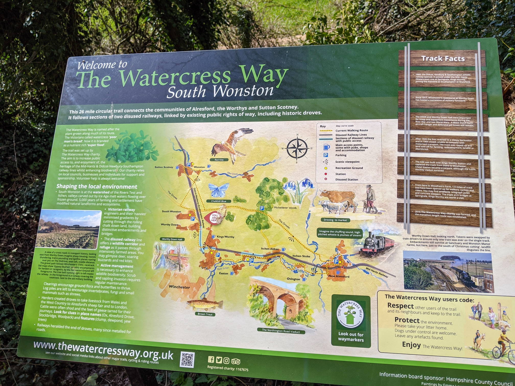
Whilst the railway tracks have been removed, the platform at Worthy Down Halt is still there.

A printable leaflet gives information about part of the route and landmarks along the disused railway line. Can you find the course of the railway line on the 1953 Ordnance Map (Watercress Way railway heritage page)?

footpath
Woodland by Connaught Road, Worthy Down
information sign Watercress Way
Information about the Western part of the Watercress Way

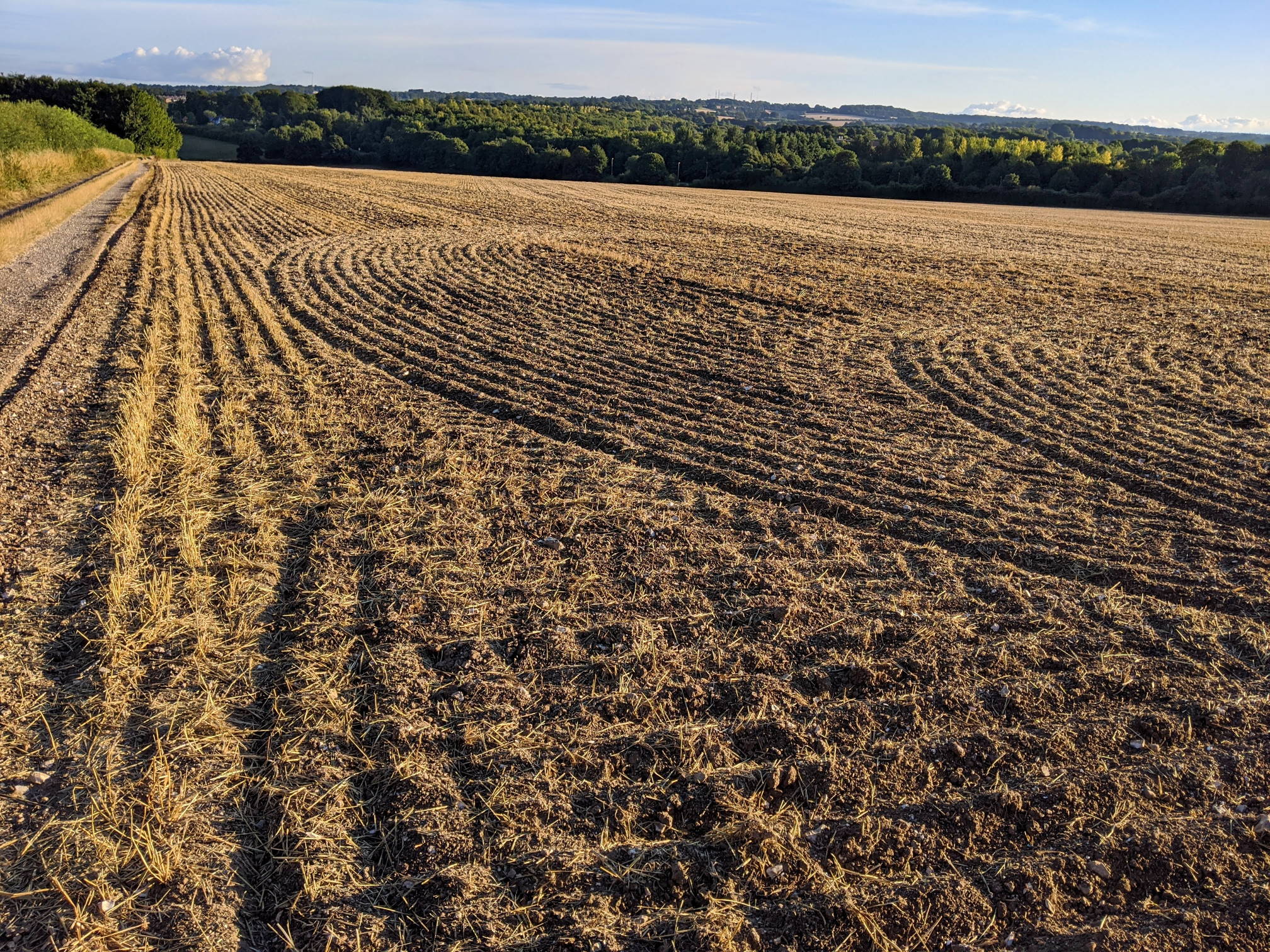
Farmland and fields on the way to South Wonston

field with blooming rape seed
Field near Connaught Road, Worthy Down
plowed field and view towards Winchester
View from path south of Down Farm Lane; you can see the Pinsent telco towers in the background
Barton Meadows in summer – see walk#3
sheep grazing on meadows
Sheep on Barton Meadows in autumn

This walk is part of the 12 walks challenge. Photos were taken between April and November 2020.

Leave a Reply Cancel reply

Your email address will not be published. Required fields are marked *

Tags:fieldsmoderaterailway