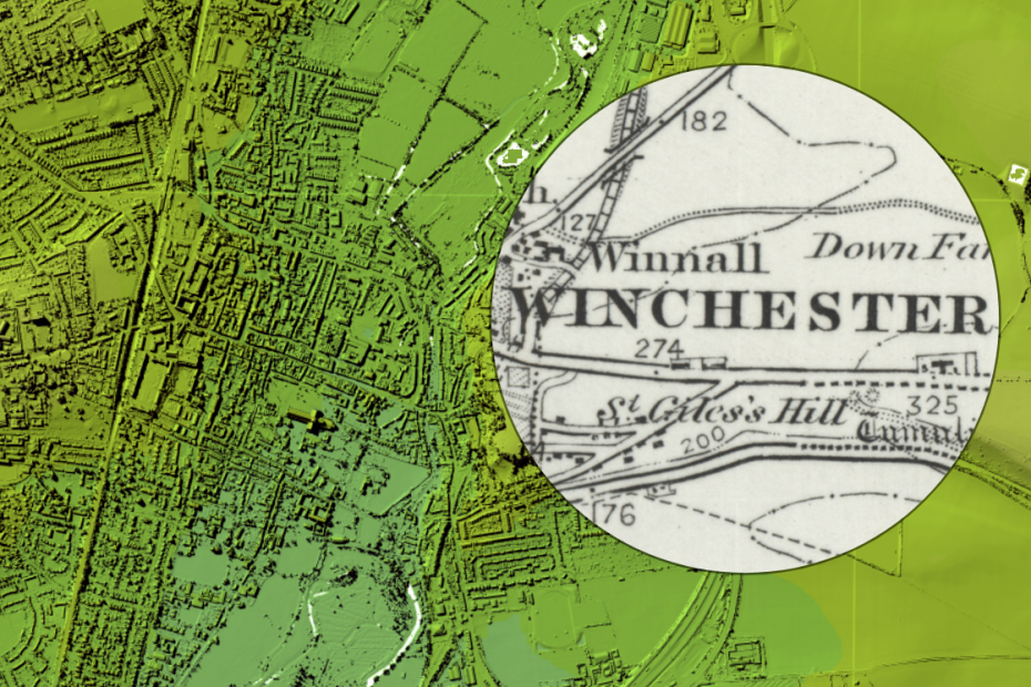
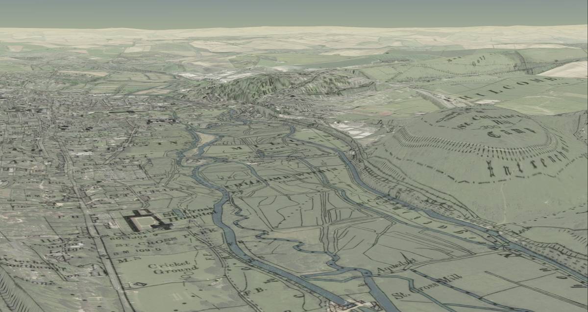
National Library of Scotland has a great map viewer that allows you to roam around a number of old map series of Great Britain. Above is an Ordnance Survey (OS) one inch to a mile displayed against a digital Digital Terrain Model captured from an airborne sensor. The collection includes several historic maps of Winchester from OS map series, including the beautiful second edition, six in to a mile, the Winchester sheet being published in 1898:
The tool includes four display modes which are illustrated by the screenshots on this page
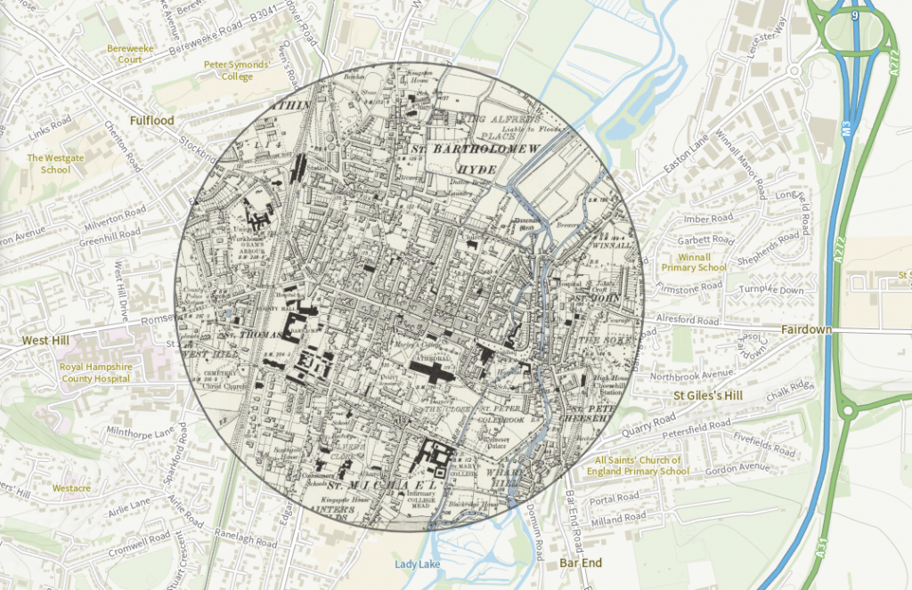
- SPY – displays historic map in a spyglass (above)
- SIDE BY SIDE – two maps side by side. If you pan one, the other moves in sync. There’s a swipe mode that drags one map on top of each other
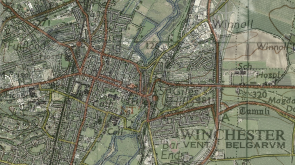
- OVERLAY – makes the top layer transparent and lets another layer shine through
- 3D – perspective view using a globe visualisation engine with exaggerated land forms
Several historic maps and several modern maps can be chosen for the comparison.
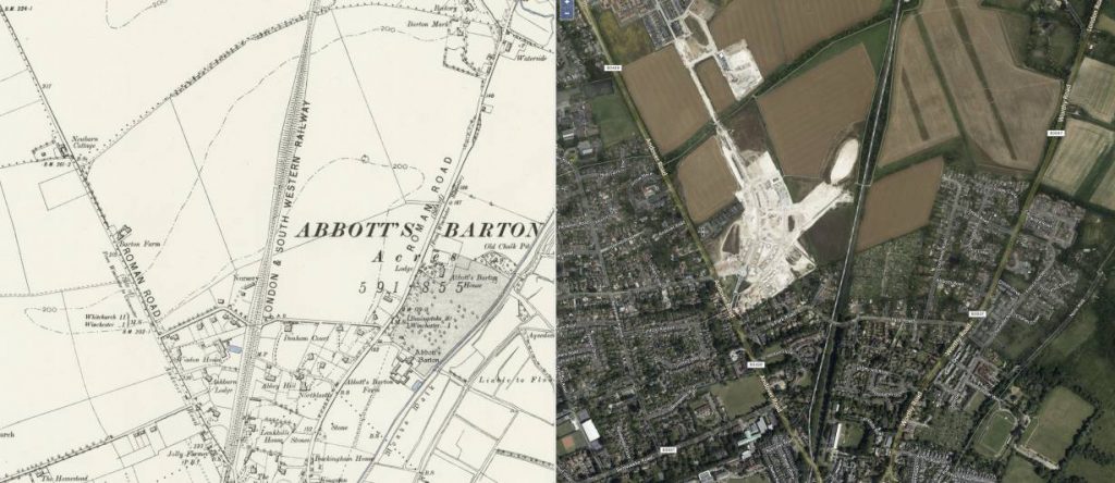
Examples
We played with these maps for hours and found a number of interesting changes:
Explore the NLS map viewer yourself and email us your screenshots and findings about Winchester’s historic geography. We will then publish your best historic map images on this page.