Skip to content
walkWINCHESTER
walkWINCHESTER
  • About walkWINCHESTER
  • About Winchester, Hampshire
  • Affiliate
  • All walks
  • Beyond Winchester
  • Complete the 12 walk challenge in Winchester
  • Explore Winchester
  • Maps of Winchester, Hampshire
  • Privacy Policy
  • Short walks
  • Terms and conditions
  • Visit Winchester
  • walkWINCHESTER posts
  • Winchester walks

walk#4 – grand views of the city and farmlands

  • by Will Walker
  • September 13, 2024
  • 4 Comments
walk 4 - Hockley Viaduct and St. Cross Hospital


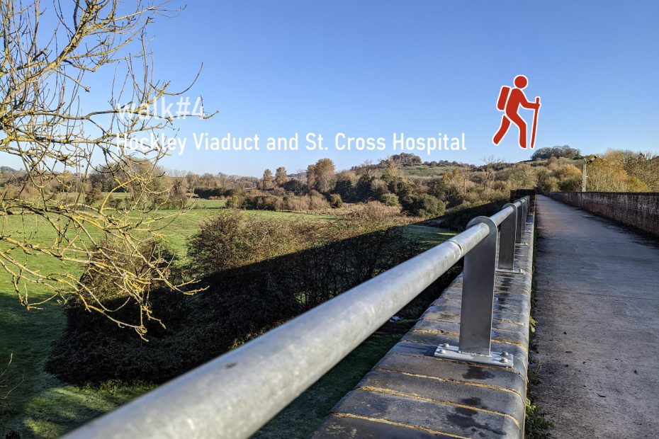
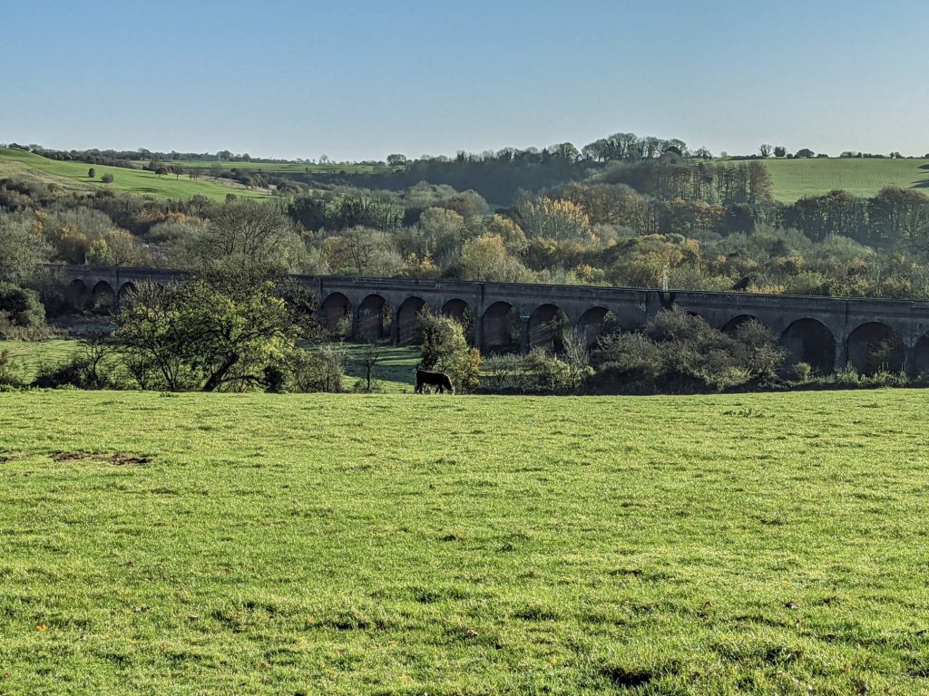
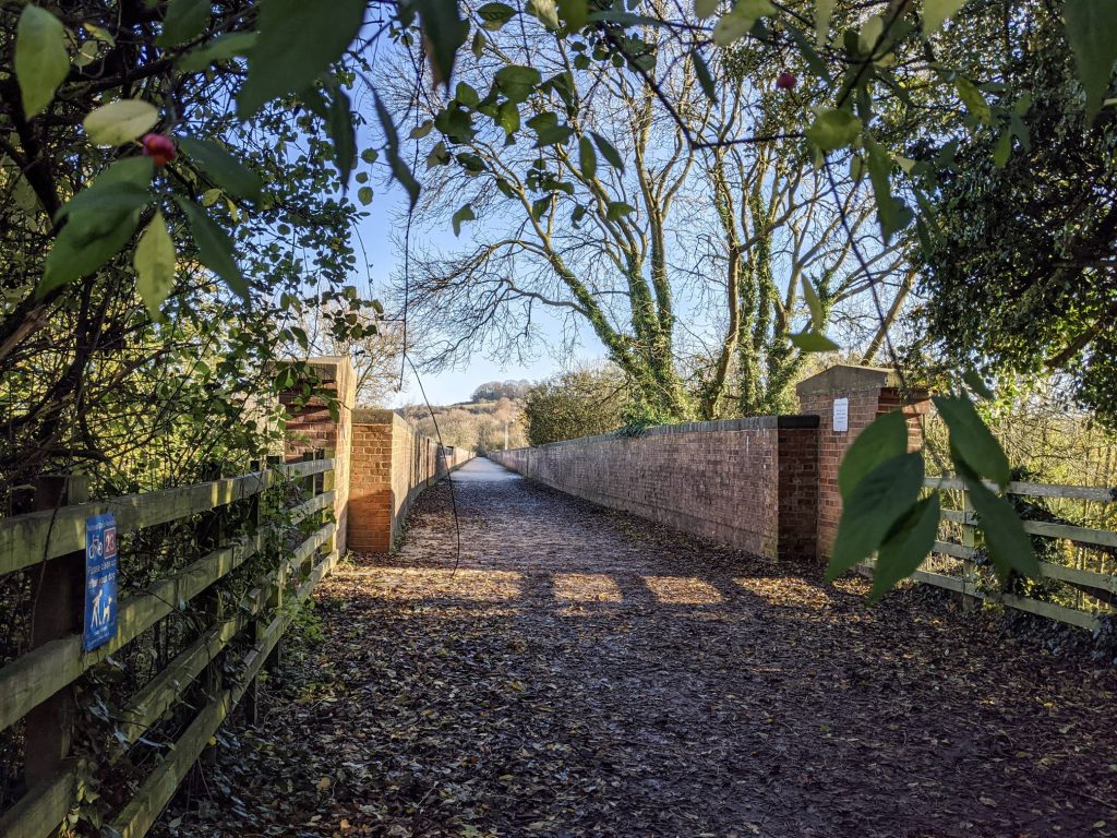
In the southern part of the city, the walk starts with views of the cathedral from Whiteshute Ridge, a stretch of open access land to the south of Badger Farm, just a few minutes in. Take-in the views of the city before dropping down to the river at St Cross Hospital, crossing the disused Hockley Railway Viaduct, before looping back through fields and the village of Compton.

Help - how to navigate this map

full screen icon full screen mode
zoom in icon zoom in
zoom out icon zoom out
compass button compass to orient the map – north at the top
locate-button locate your current position on the map (browser will ask for permission, works best on phones due to use of GPS). We don’t track your location.

Phone/tablet/touchscreen:
– Tap on symbols for more information about the walks and starting points
– Pan map: Tap on map and drag into any direction
– Zoom In/out: Pinch with two fingers
– Tilt map: Tap with two fingers and drag up or down
– Rotate map: Tap with two fingers and rotate
Laptop with mouse:
– Click on symbols for more information about the walks and starting points
– Pan map: Left click on map with mouse and drag into any direction
– Zoom In/out: Mousewheel or ‘+’ ‘-‘ keys on keyboard
– Tilt map: Right click and drag mouse pointer up or down
– Rotate map: Right click and drag mouse pointer left or right

Start and end point: Hill behind Sainsburys

Length: 7.5 km / 4.4 miles
Time: 1 hour 45 minutes at a swift pace + breaks
Difficulty: Moderate – 128 m total ascent
Parking: Sainsburys car park (though watch any potential time limits imposed by car park operator), alternative street parking in Oliver’s Battery or Badger Farm
Public transport: buses to Sainsburys (bus #5) from Winchester City Centre

Click to view in OS Maps

The Winchester Tourist office publishes a leaflet with some information about the viaduct’s history. This is part of the Viaduct way, returning on Keats Walk. Walk#5 lead through the meadows below the viaduct.

Highlights of walk#4

Hockley viaduct with the M3 behind

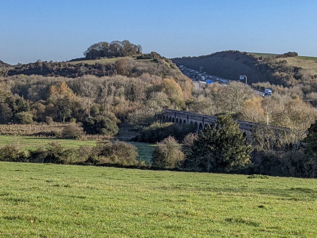
The way the M3 motorway cuts through the Down is a little sad and reminds us about the conflict between nature and transport needs. Read about the history of Twyford Down and the motorway construction here. Sabre roads publish a short history of the Winchester bypass.
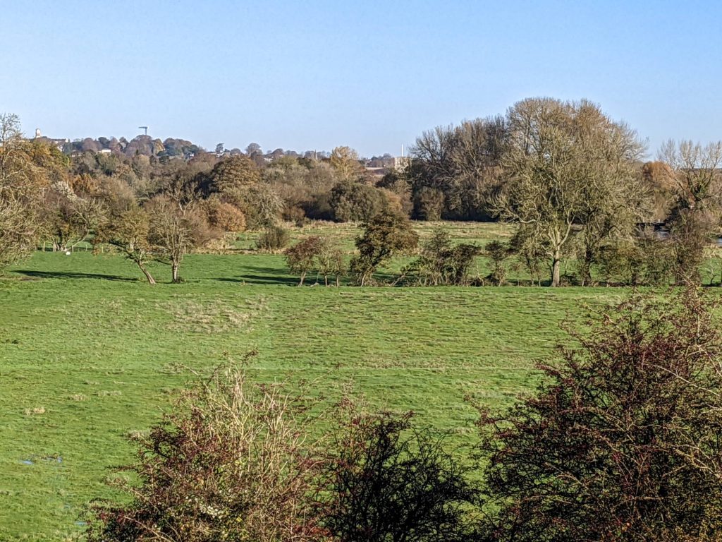
Whiteshute Ridge

View from Whiteshute ridge to the city centre with Winchester Cathedral
View from Whiteshute ridge to St Catherine's hill
View from Whiteshute ridge to St Catherine’s hill
Railway crossing at the bottom of Whiteshute ridge to get to the top of Mead Road

St Cross Hospital and Hockley
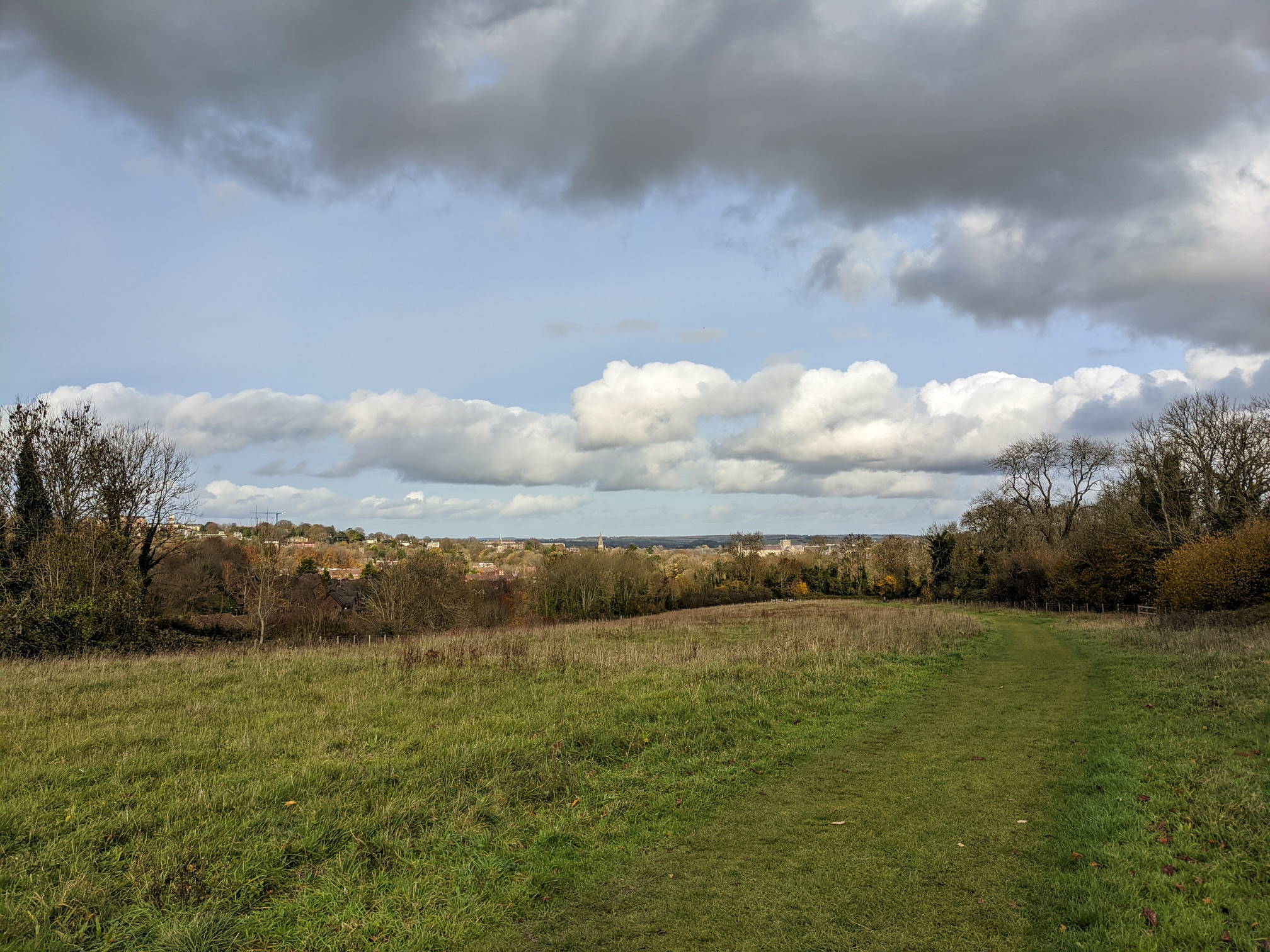
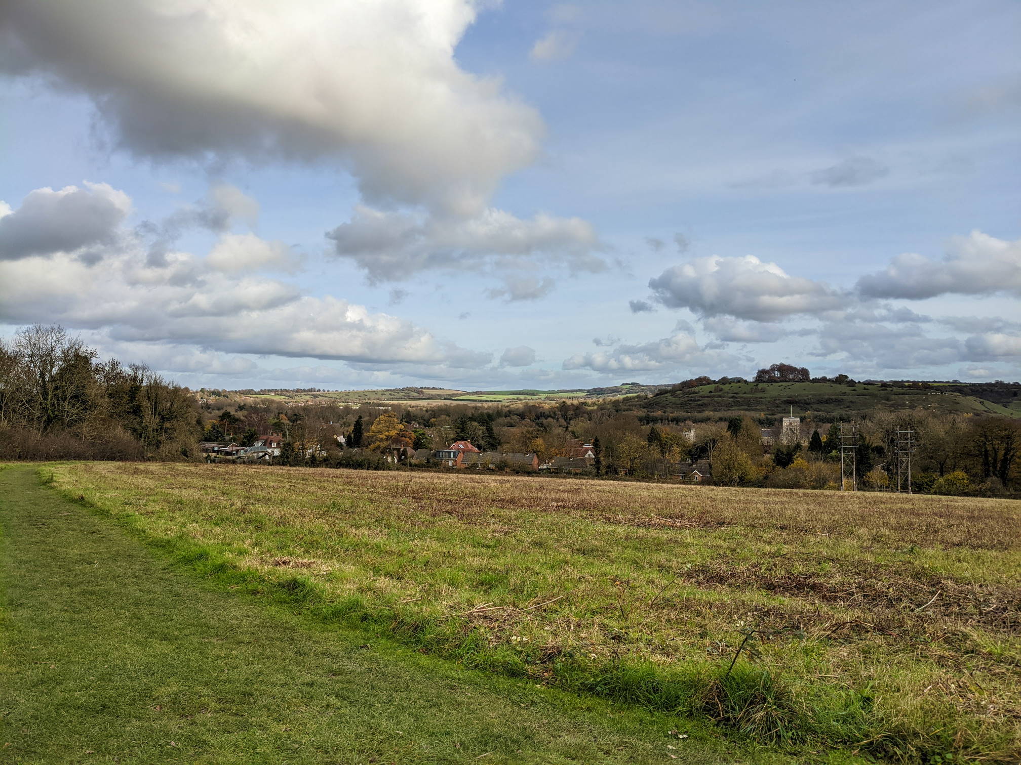
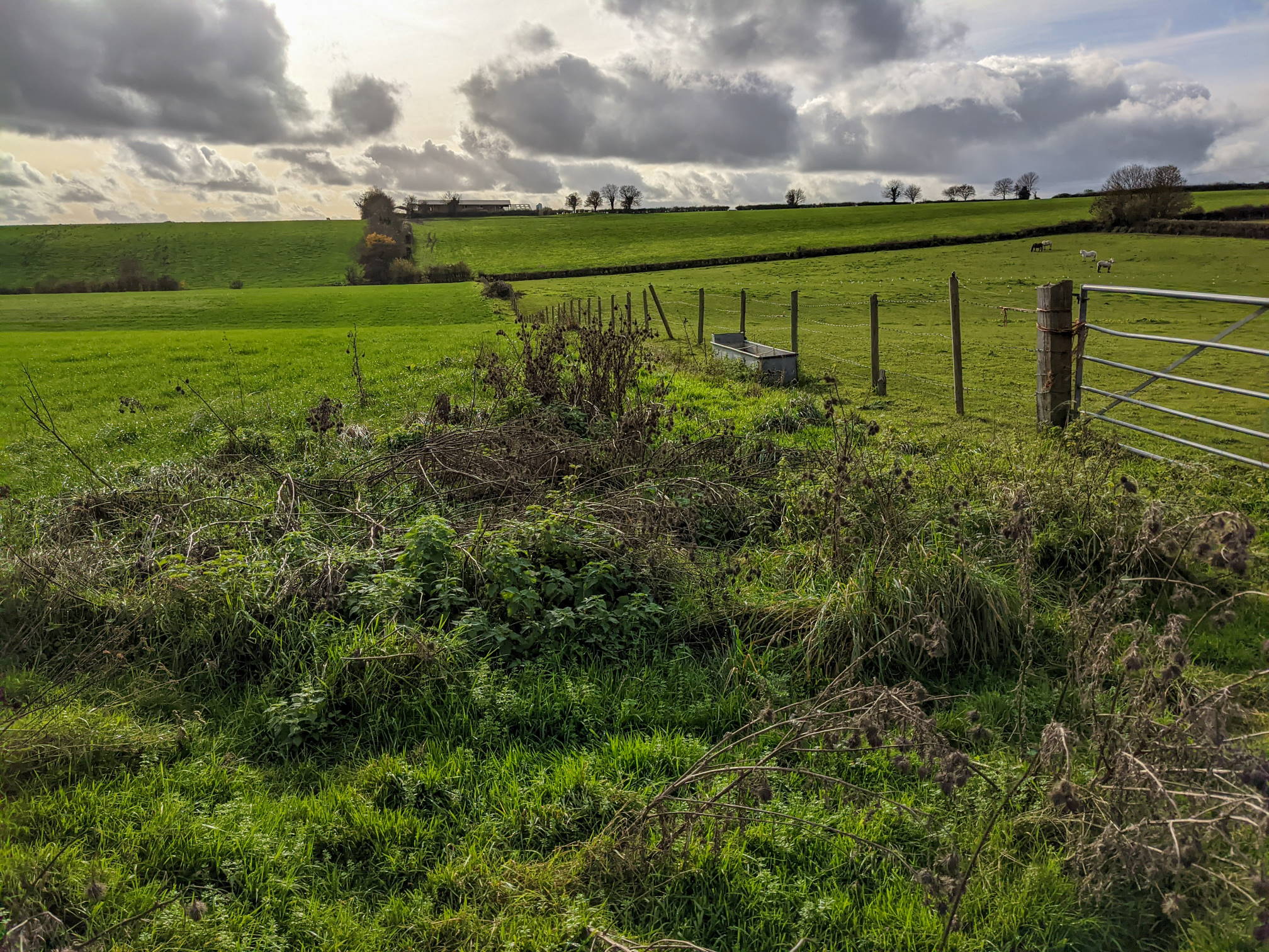
St. Cross Hospital
St. Cross Hospital
Hockley viaduct from the South West
Southern end of the viaduct
There’s another footpath below the viaduct, reachable from Hockley Link
View towards St. Cross Hospital from Itchen Farm

Towards Compton

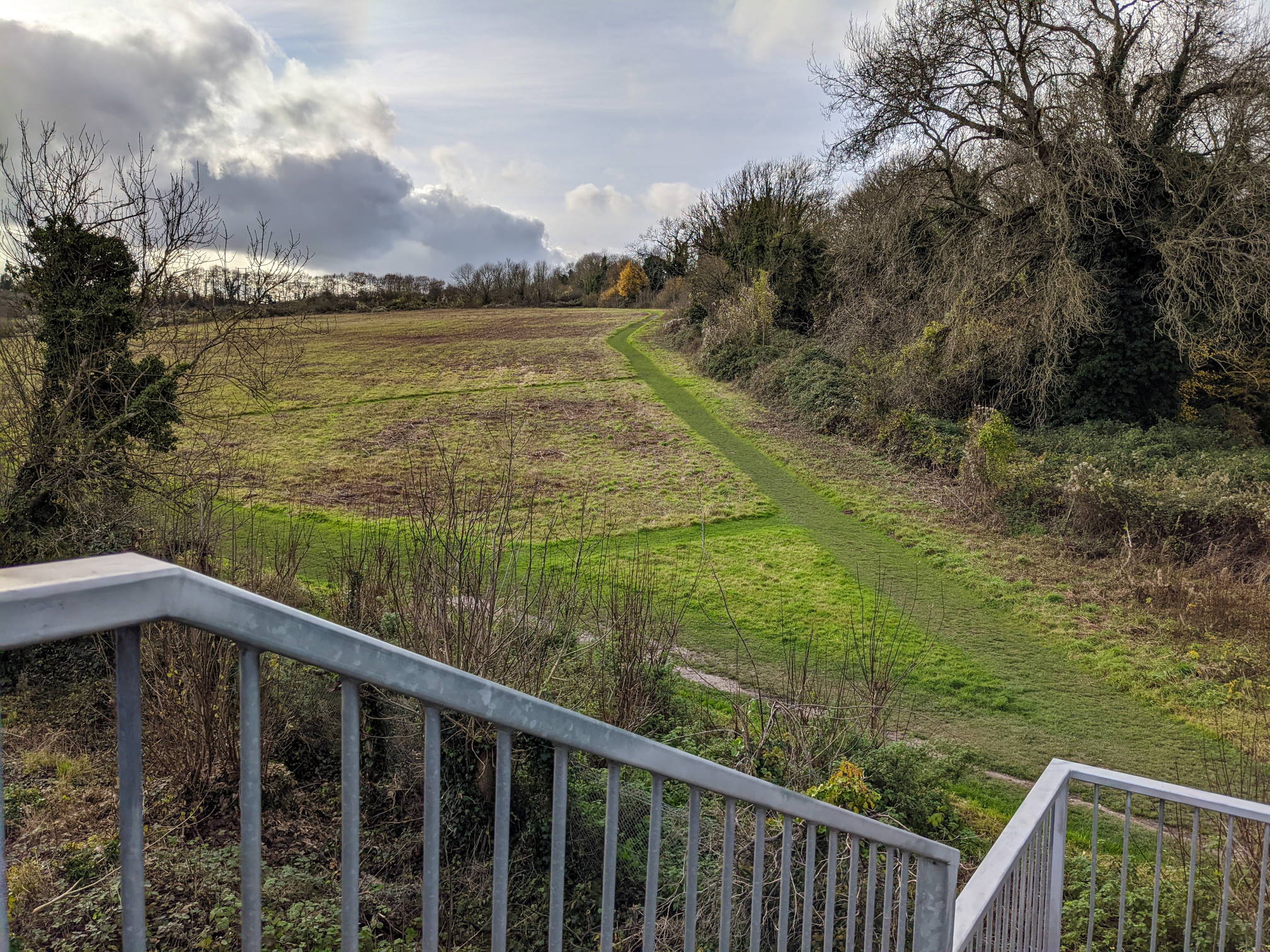
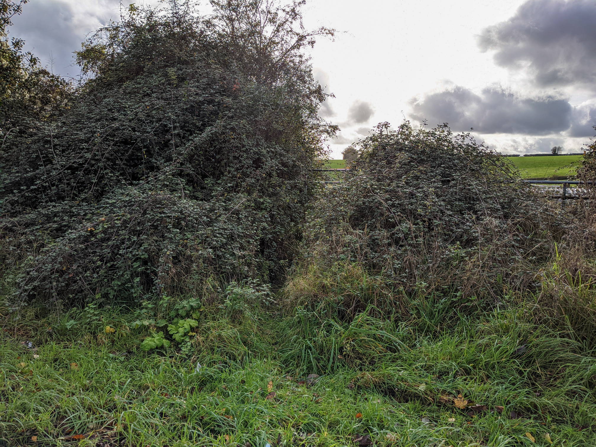
We suggest you walk the route clockwise, if you want to walk it the other way round, the footpath leading from Badger Farm Road to Compton is a bit difficult to find. The entrance looks like this:

Entrance to footpath to Compton from Badger Farm Road
Footpath along the fields from Badger Farm Road to Compton

This walk is part of the 12 walks challenge. Photos were taken in November 2020.

4 thoughts on “walk#4 – grand views of the city and farmlands”

  1. David Rock November 7, 2021 at 10:35 am
    Reply

    This is a very enjoyable walk (or cross country run). And the restoration of the viaduct in the last decade is a lovely touch. However, the footpath through Attwoods Drove Farm is a MESS (or at least was when I gave up trying to use it some years ago). It’s essentially a quagmire of cow manure squeezed between the cattle sheds on one side and a tall hedge on the other. Especially after wet weather. If you have wading boots, you’ll be fine. Wellies might be okay if it hasn’t rained for a while. Anything less and there’s no way through without getting very wet and very dirty. If you have a dog, it had better be small enough to carry. Maybe they’ve done something about it since then. I hope so but fear not. It was a perfect advert for the indifference (at best) or contempt that land owners or farm managers can sometimes have for walkers.

    1. Hypo9_33-14k November 7, 2021 at 10:41 am
      Reply

      Thanks, David. I thought it was ok during the drier part of the year. Additional reports welcome.

      1. David Rock November 7, 2021 at 10:48 am
        Reply

        Dear Will, very glad to hear it. I will give it another try. It’s a lovely route. Best wishes, David

  2. David Rock November 7, 2021 at 10:44 am
    Reply

    Hi, David Rock here again. Sorry, I accidentally posted some extra details about a friend’s holiday that was on my clipboard/spell checker. Grateful if you could remove that in moderation along with this extra comment. Thanks, regards, and keep up the good work, David.

Leave a Reply Cancel reply

Your email address will not be published. Required fields are marked *

Tags:busy roadsfieldsmoderateriver
© walkWINCHESTER 2022 - T&Cs - privacy