Skip to content
walkWINCHESTER
walkWINCHESTER
  • About walkWINCHESTER
  • About Winchester, Hampshire
  • Affiliate
  • All walks
  • Beyond Winchester
  • Complete the 12 walk challenge in Winchester
  • Explore Winchester
  • Maps of Winchester, Hampshire
  • Privacy Policy
  • Short walks
  • Terms and conditions
  • Visit Winchester
  • walkWINCHESTER posts
  • Winchester walks

walk#5 – hill fort and meadows

  • by Will Walker
  • September 13, 2024
  • 1 Comment
walk5 - St Catherine's Hill - Hockley golf course

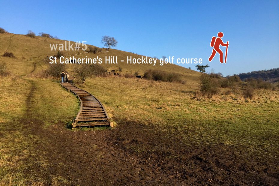
The part of the Itchen Way from King Alfred down to St Catherine’s Hill and returning on Keats Walk back to Winchester College, all by the river Itchen, is the classic one hour plus stroll from the city centre. Our walk takes you a little further across the M3 to the other side of Twyford Down and the Hockley Golf course, then returning on grassy and dirt paths the entire way from Hockley link to Winchester College.

Help - how to navigate this map

full screen icon full screen mode
zoom in icon zoom in
zoom out icon zoom out
compass button compass to orient the map – north at the top
locate-button locate your current position on the map (browser will ask for permission, works best on phones due to use of GPS). We don’t track your location.

Phone/tablet/touchscreen:
– Tap on symbols for more information about the walks and starting points
– Pan map: Tap on map and drag into any direction
– Zoom In/out: Pinch with two fingers
– Tilt map: Tap with two fingers and drag up or down
– Rotate map: Tap with two fingers and rotate
Laptop with mouse:
– Click on symbols for more information about the walks and starting points
– Pan map: Left click on map with mouse and drag into any direction
– Zoom In/out: Mousewheel or ‘+’ ‘-‘ keys on keyboard
– Tilt map: Right click and drag mouse pointer up or down
– Rotate map: Right click and drag mouse pointer left or right

More information on start and end point

Length: 9.5 km / 5.9 miles
Time: 2 hours 5 minutes at a swift pace + breaks
Difficulty: Moderate – 152 m total ascent, path to St Catherine’s Hill from Garnier Rd car park is steep and can be slippery

Click to view in OS Maps

Variation: To avoid some ascents and descents, stay on the western side of the M3 and take the stairs between St Catherines Hill and footpath by the river. You can shorten the route further by taking the footpath by the river and Garnier road and visit St Cross Hospital on a different walk.

The Winchester Tourist office publishes about on Keats Walk which forms part of this route. Walk#4 overlaps a small part of route on Keat’s walk, and has views from the viaduct to the meadows in the south-western corner of this walk.

Highlights of walk#5

Path between St Catherine's hill on the right and Twyford Down on the left
Path between St Catherine’s hill on the right and Twyford Down on the left

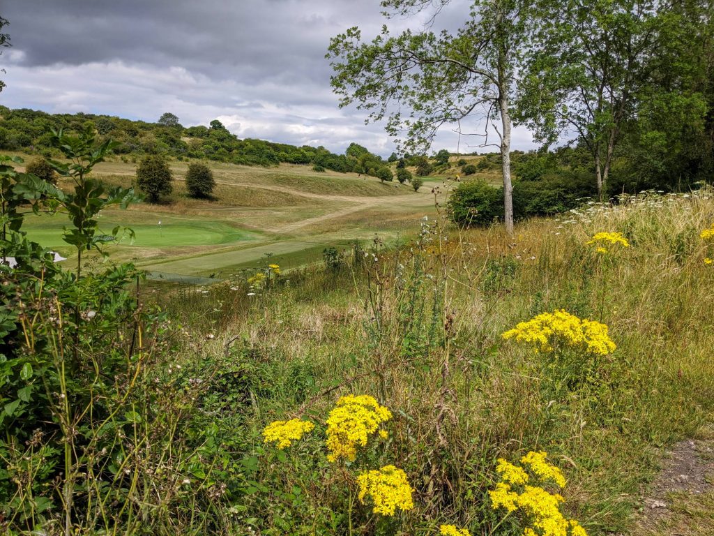
The addition of Twyford Down and the Hockley Golf course make our St Catherine’s hill walk a bit more challenging and encourage you to venture a little further to explore the ‘other’ side just beyond the M3.

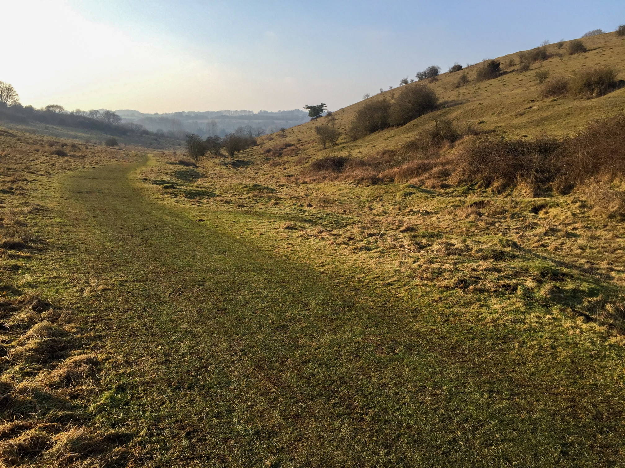
St Catherine’s Hill is a Nature Reserve that has 25 species of breeding butterfly and British White Cattle.

Through Hockley golf course
Follow the Itchen River underneath the M3

This walk is part of the 12 walks challenge.

1 thought on “walk#5 – hill fort and meadows”

  1. Sue April 2, 2021 at 8:29 pm
    Reply

    Great walk today in beautiful surroundings. A bit hard going at the beginning, I’m not a hill walker, but well worth the effort. Would definitely recommend and plan to do again. Took just over 3 hours.

Leave a Reply Cancel reply

Your email address will not be published. Required fields are marked *

Tags:moderateriversteep
© walkWINCHESTER 2022 - T&Cs - privacy