Skip to content
walkWINCHESTER
walkWINCHESTER
  • About walkWINCHESTER
  • About Winchester, Hampshire
  • Affiliate
  • All walks
  • Beyond Winchester
  • Complete the 12 walk challenge in Winchester
  • Explore Winchester
  • Maps of Winchester, Hampshire
  • Privacy Policy
  • Short walks
  • Terms and conditions
  • Visit Winchester
  • walkWINCHESTER posts
  • Winchester walks

Magdalen Hill Down

  • by Will Walker
  • May 10, 2023
Magdalen Hill Down

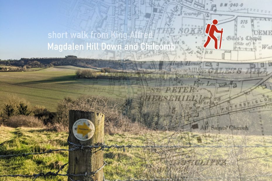
The center of Winchester is very close to the South Downs and from the King Alfred statue, you can leave the bustle of the city within minutes. This walk has great views from St Giles Hill and Magdalen Hill Down.

Help - how to navigate this map

full screen icon full screen mode
zoom in icon zoom in
zoom out icon zoom out
compass button compass to orient the map – north at the top
locate-button locate your current position on the map (browser will ask for permission, works best on phones due to use of GPS). We don’t track your location.

Phone/tablet/touchscreen:
– Tap on symbols for more information about the walks and starting points
– Pan map: Tap on map and drag into any direction
– Zoom In/out: Pinch with two fingers
– Tilt map: Tap with two fingers and drag up or down
– Rotate map: Tap with two fingers and rotate
Laptop with mouse:
– Click on symbols for more information about the walks and starting points
– Pan map: Left click on map with mouse and drag into any direction
– Zoom In/out: Mousewheel or ‘+’ ‘-‘ keys on keyboard
– Tilt map: Right click and drag mouse pointer up or down
– Rotate map: Right click and drag mouse pointer left or right

More information on start point and other walks from King Alfred
Length: 5.9 km / 3.7 miles
Time: 2 hours 30 mins at a swift pace + breaks
Difficulty: Easy – 107 m total ascent

Click to view in OS Maps

The route

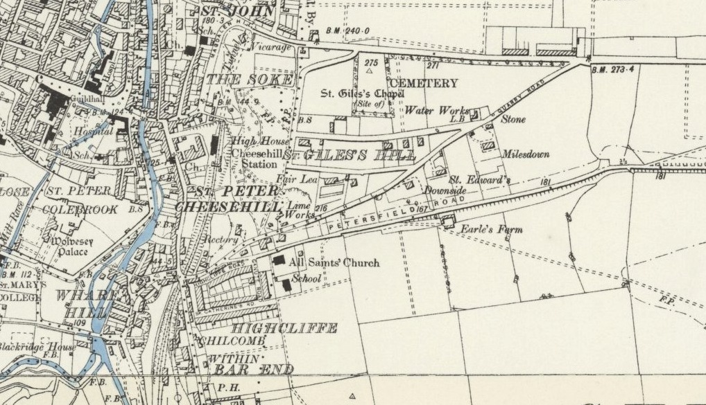
Before you climb up to St Giles Hill, you pass through an area called The Soke. It stands for the Bishop’s Soke – in the 13th century it was the part of Winchester that was under the jurisdiction of the bishop and not the king.

At St Giles Hill an annual fair was held in the 12th century to finance the construction of the cathedral. Continuing east, we prefer Northbrook Avenue, a very pleasant residential street, though it’s also possible to take Baring Road to Alresford Road and have a look at the medieval St Giles Hill graveyard on the way.

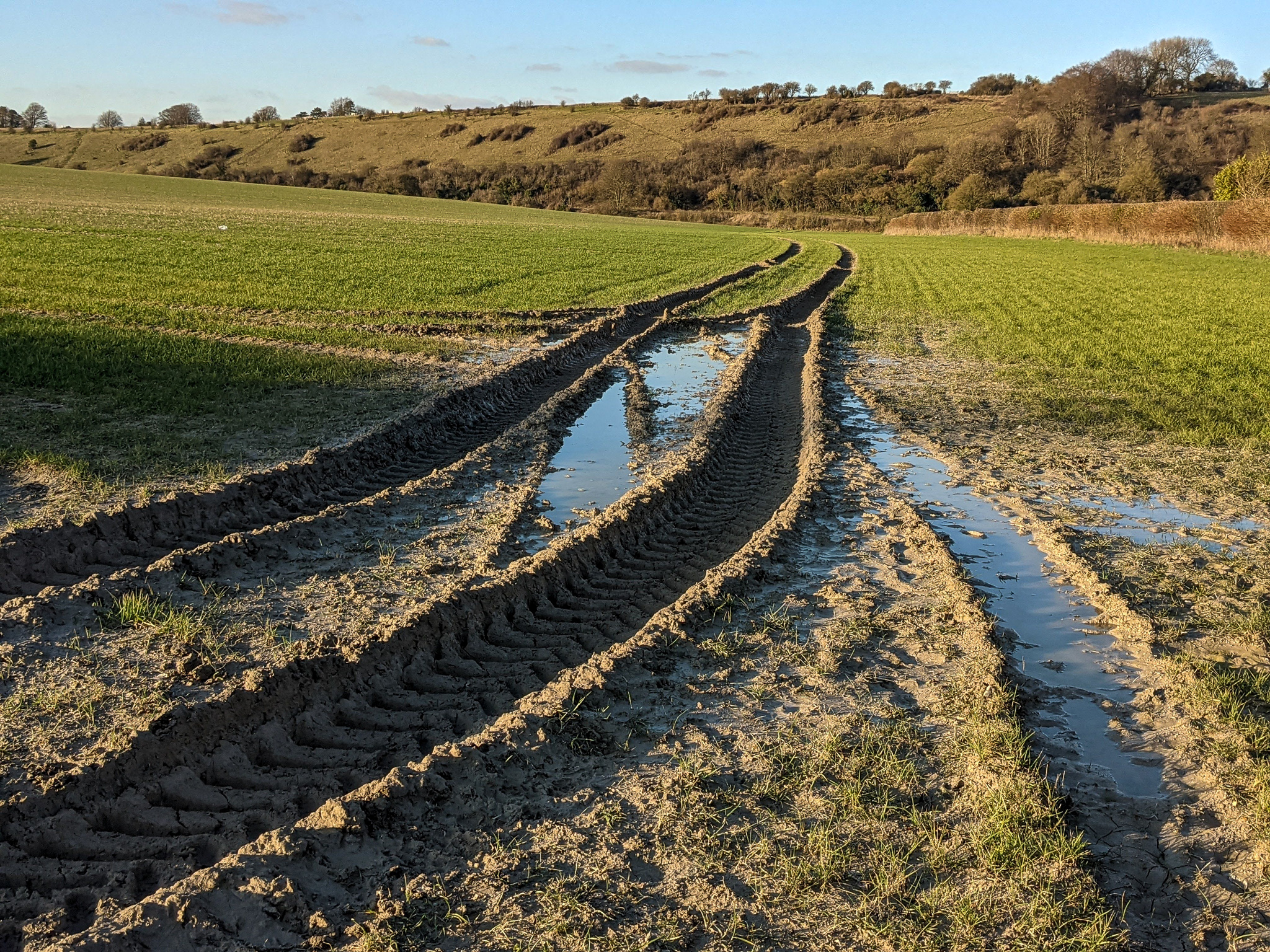
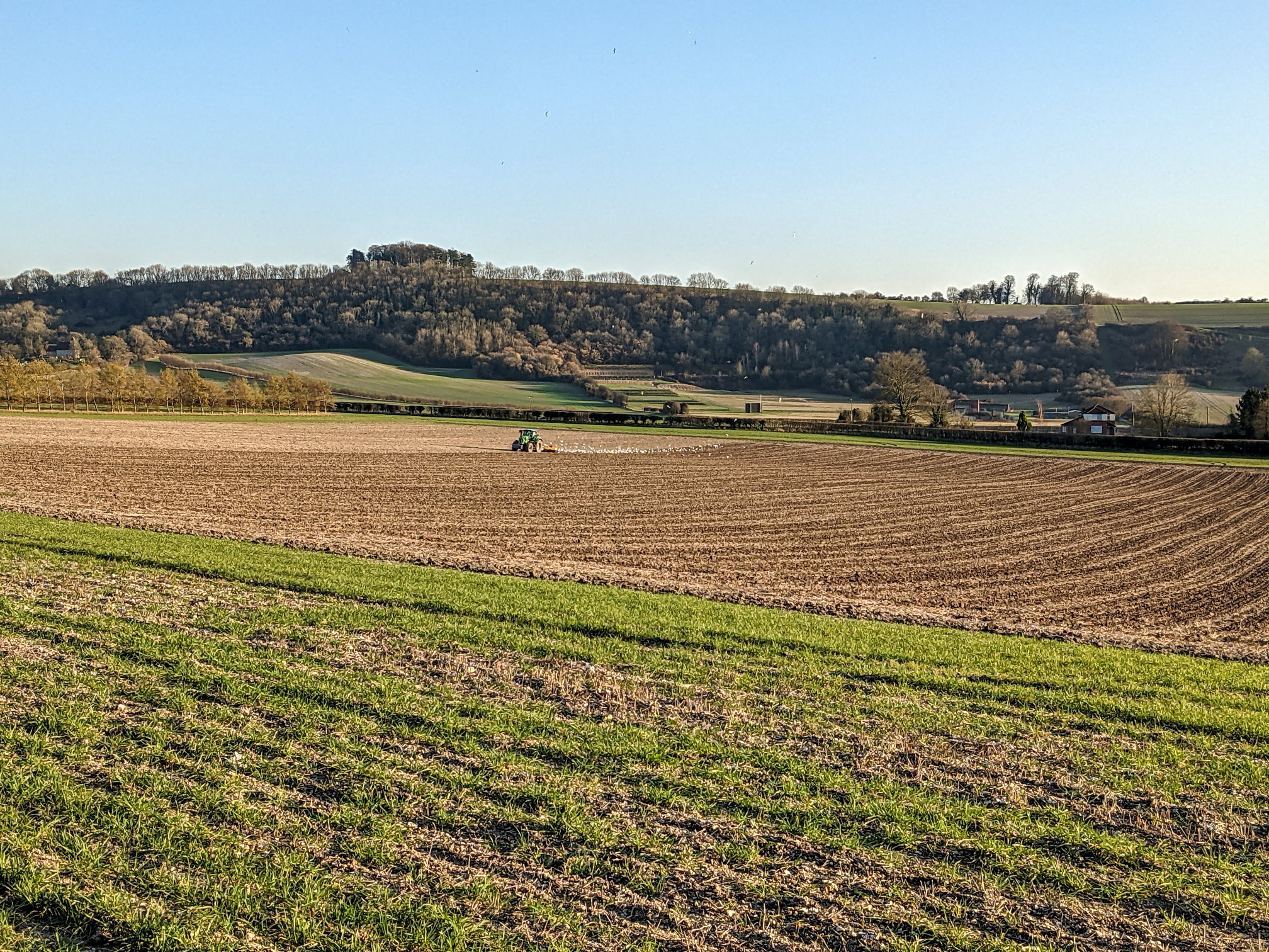
Moving on, past the M3 motorway bridge you enter Magdalen Hill Down, a dedicated butterfly conservation area where a variety of butterflies can be observed at the right time of the year. However, the views are great at any time of the year. There is a path that goes down the southern side of the Down. Be careful to cross the A31 Petersfield Road and take Kings Lane to the village of Chilcomb. The village is at the heart of the Winchester-East Meon anticline, a geological fault that shapes the landscape and steep hills of the area.

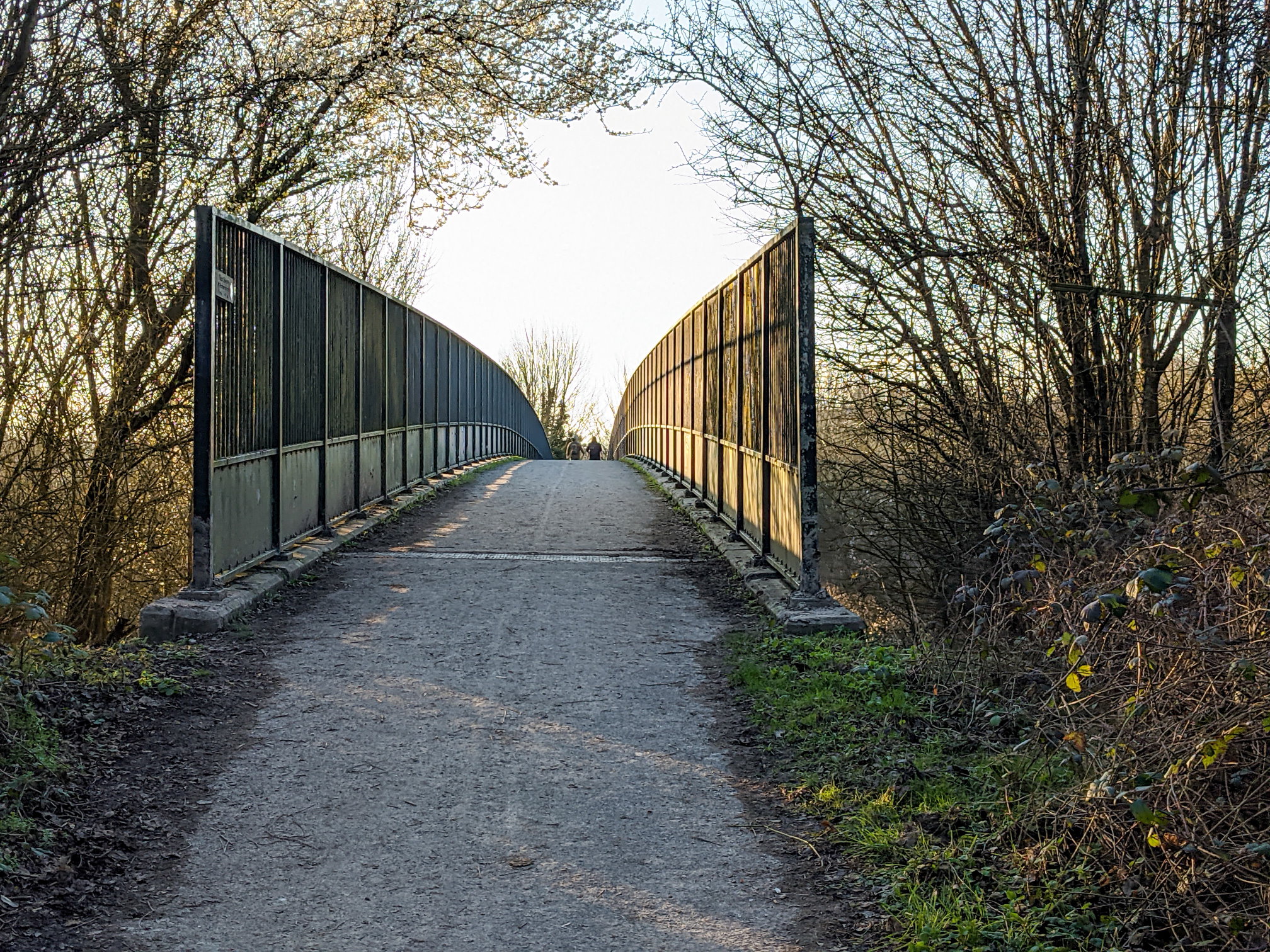
Finally, return to Winchester on the edge of a field and cross the motorway bridge into the suburb of Highcliffe before reaching the river Itchen close to the city centre.

1898 Ordnance Survey map of St Giles Hill area

3D model of Magdalen Hill Down

MHD by Vectis on Sketchfab

Highlights of the walk

View from Magdalen Hill Down
Flowers at King Alfred statue
Flowers at King Alfred statue, the starting point of the walk
view of cathedral
View of the Cathedral from the Itchen River
View of Winchester College from St Giles Hill
Chilcomb field with Magdalen Hill Down in the background
Chilcomb field with Chilcomb Down in the background
M3 Motorway bridge
M3 Motorway bridge leading to back to Winchester (Highcliffe)

Leave a Reply Cancel reply

Your email address will not be published. Required fields are marked *

Tags:easyfieldsviews
© walkWINCHESTER 2022 - T&Cs - privacy