Interactive Map 
Length: 6.5 km / 4 miles
Time: 3 hours at a swift pace + breaks
Difficulty: Difficult (climb up to The Table) – 652 m total ascent
The OS paper maps * covering the walk are
Now, the Quiraing walk is obviously not in Winchester, but in Scotland. It doesn’t fit with most of our other walks in Hampshire but we wanted to include it
- as a showcase for our mapping technology, demonstrating really interesting terrain,
- as an appetizer for walks in other parts of Great Britain, and
- simply because this might be the best shortish walk in the British Isles (at least it is our favourite).
Kvi and rand
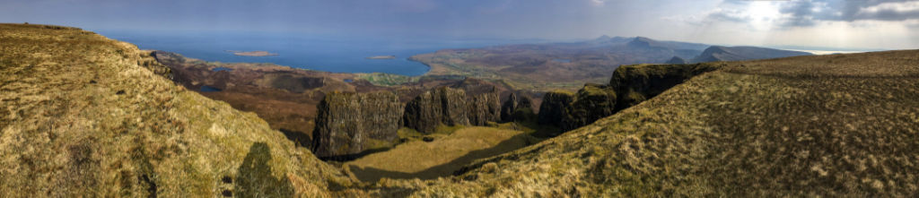
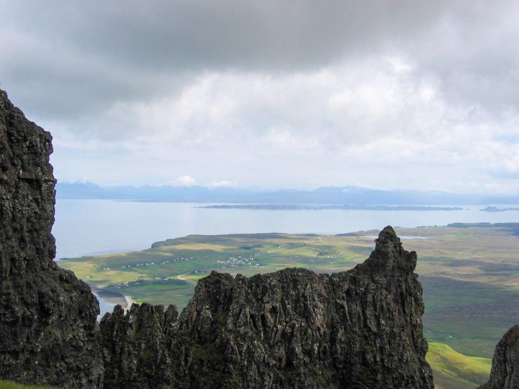
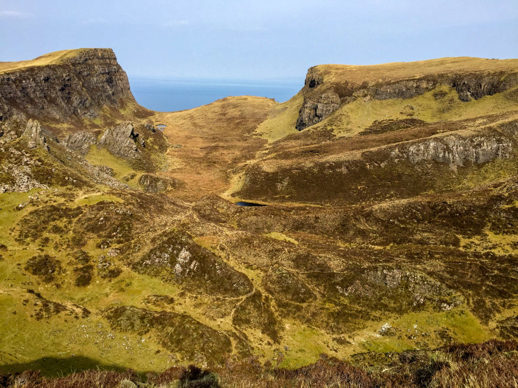
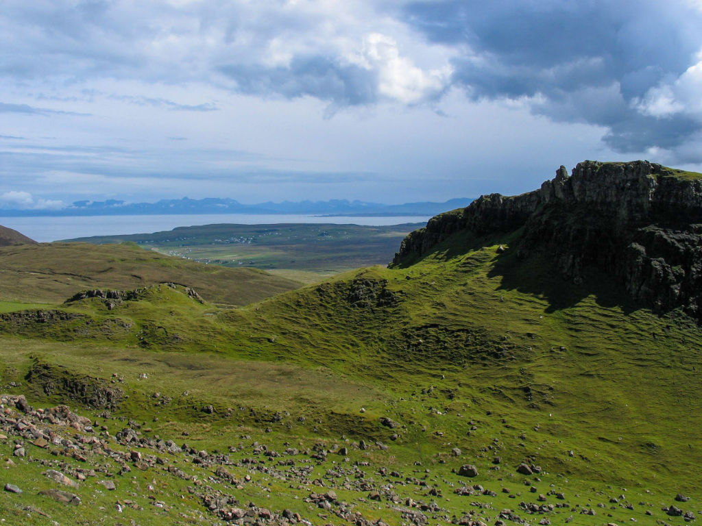
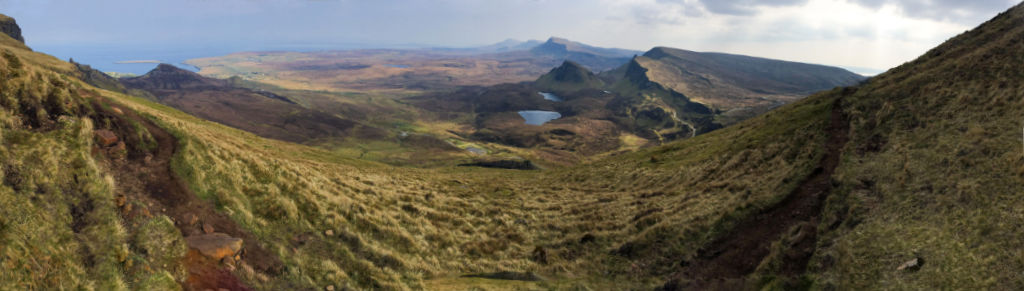
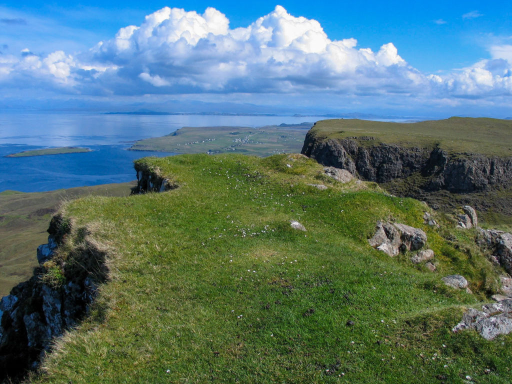
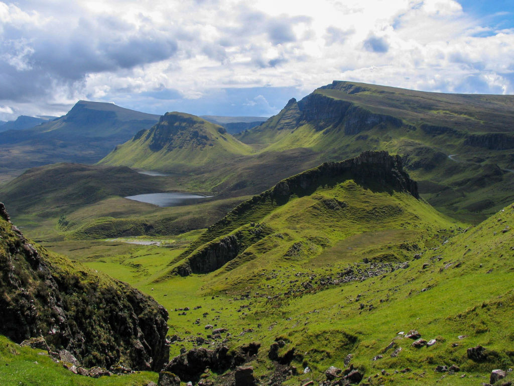
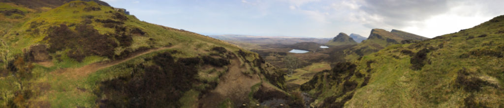
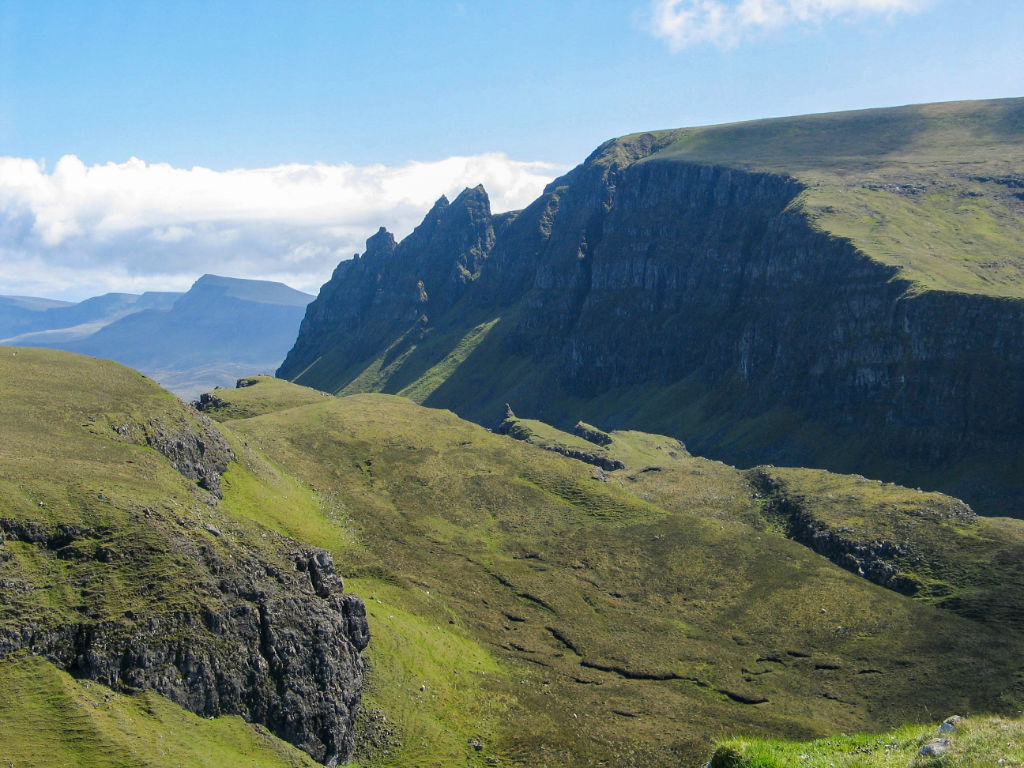
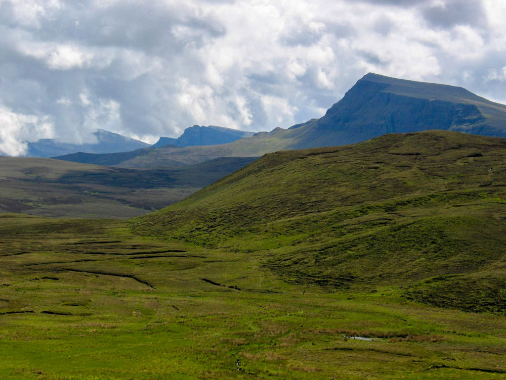
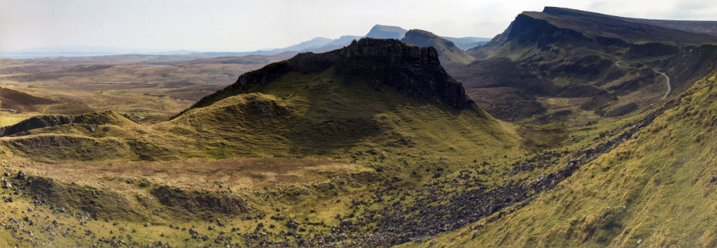
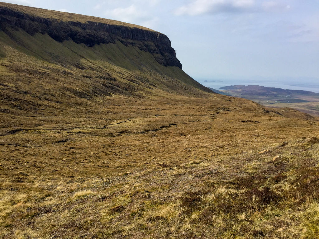
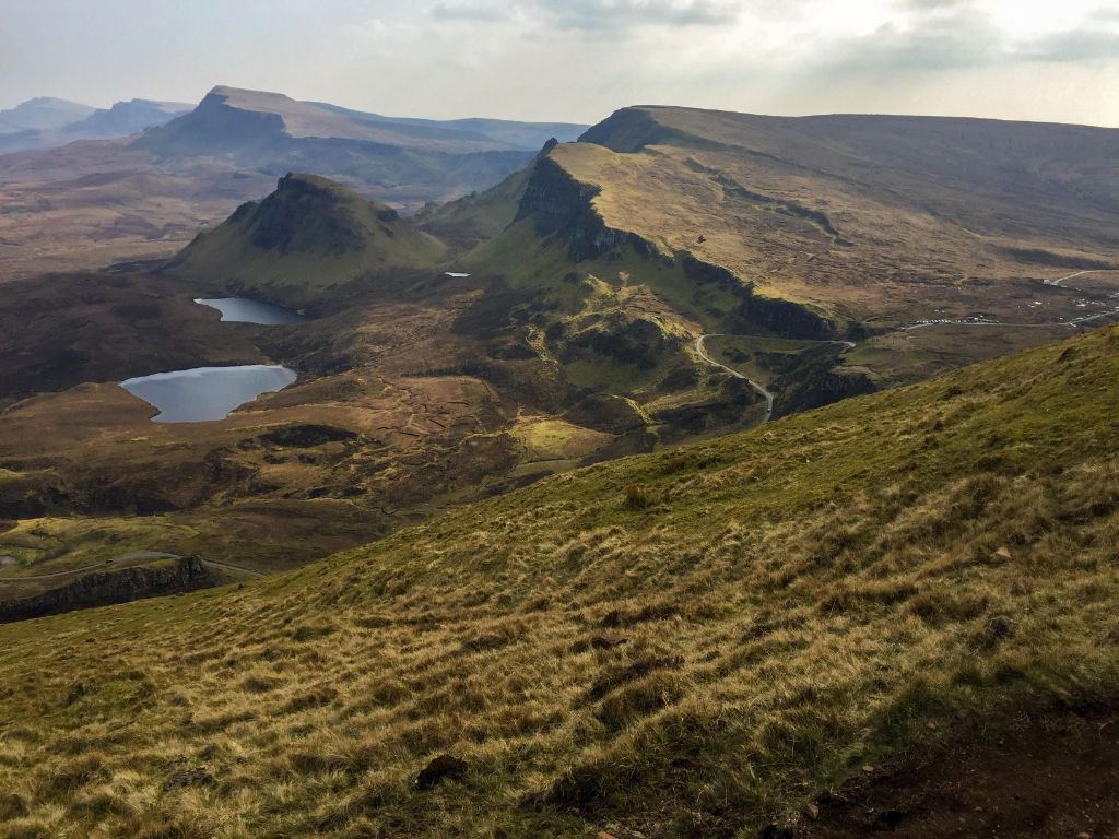
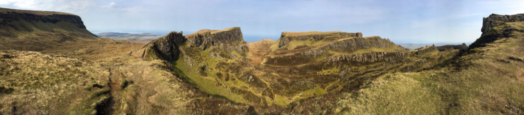
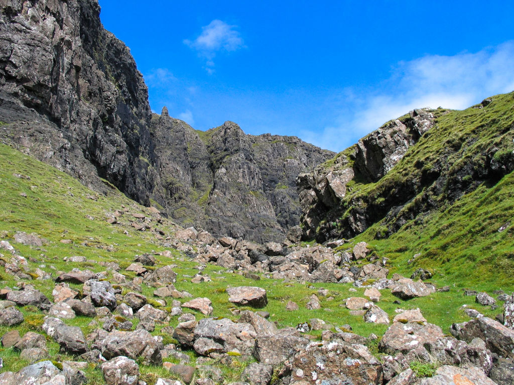
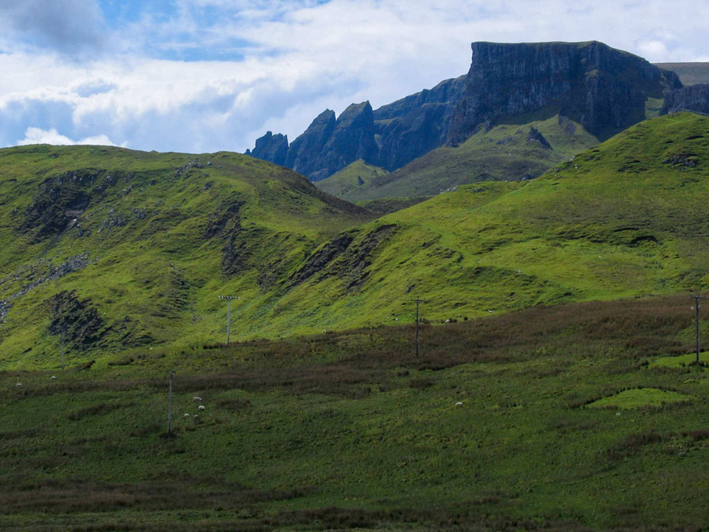
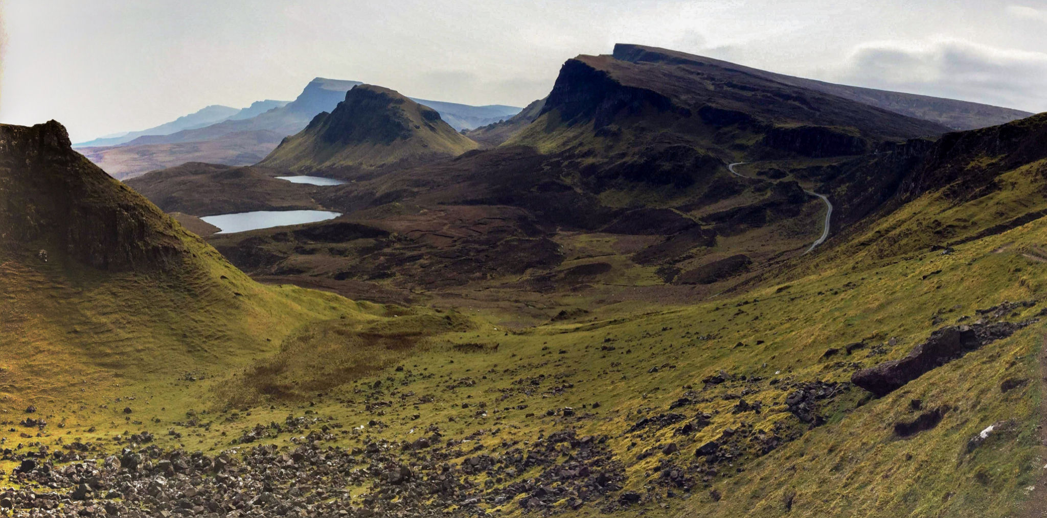
The Quiraing is a magic destination on the Northern tip of the Isle of Skye, part of the Inner Hebrides, just off the west coast of Scotland. in Gaelic Cuith-raing, the massive rock face that towers above the townships of Staffin, comes from the Norse kvi and rand and means round fold. The Eastern escarpment of the Trotternish peninsula has been broken by massive landslide into a truly remarkable and enchanting landscape.
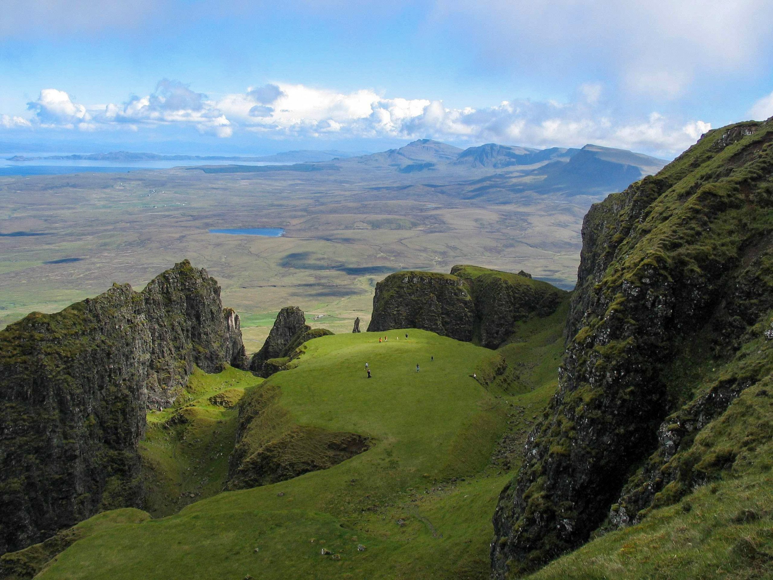
Within the fold is The Table, an elevated plateau hidden amongst the pillars. Legend has it that the fold was used to conceal cattle from Viking raiders.
The geology, one of the key features of the area, mainly consists of basalt flows over sandstones and shales, and the successive erosion of the underlying sedimentary rocks has produced rotational slippage features of European importance.
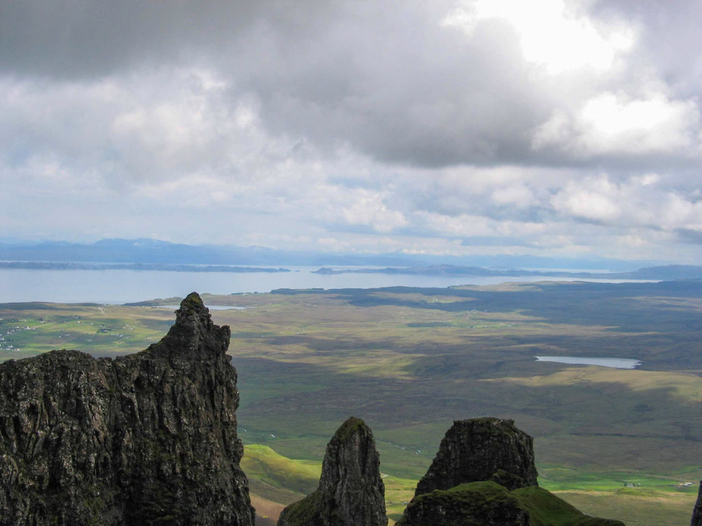
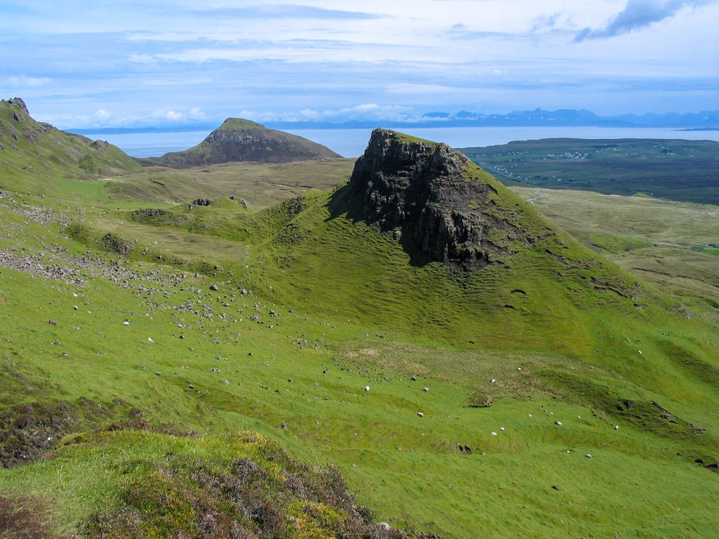
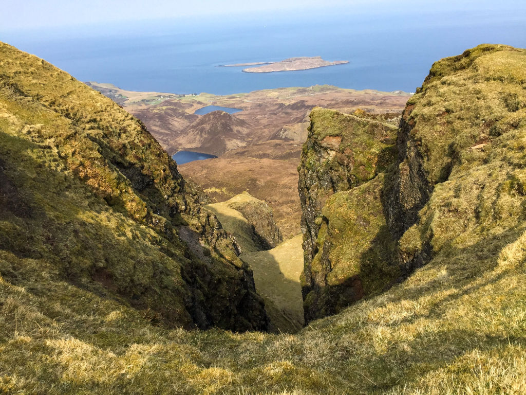
On any day the sun comes out, at an elevation of only 500m, with a view of the sea –
Will Walker
when you are on the Quiraing on the Isle of Skye, you are on top of the world.
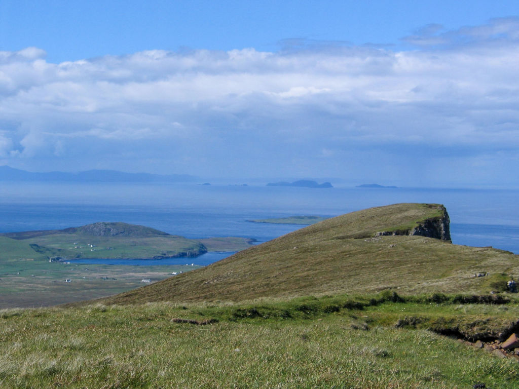
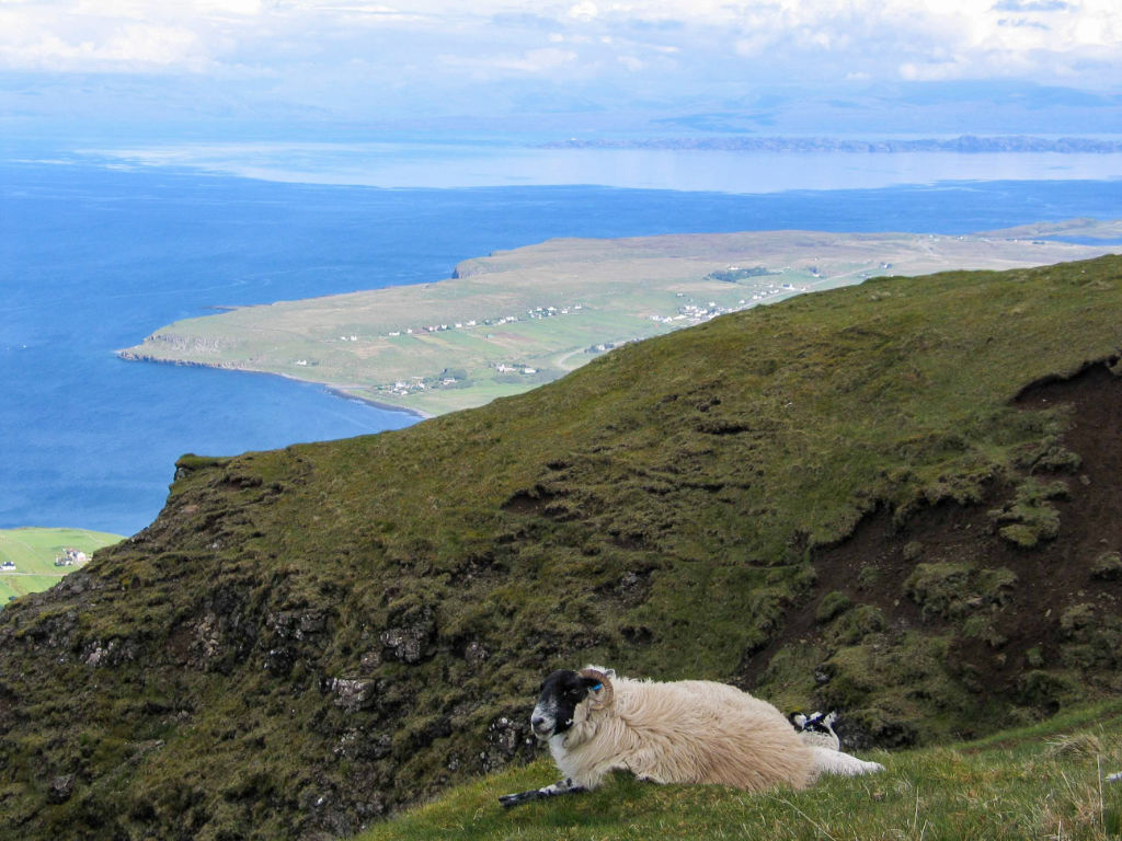
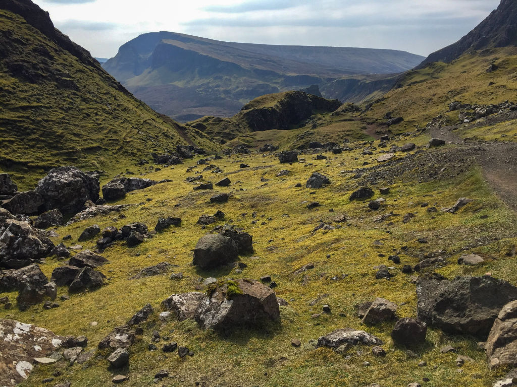
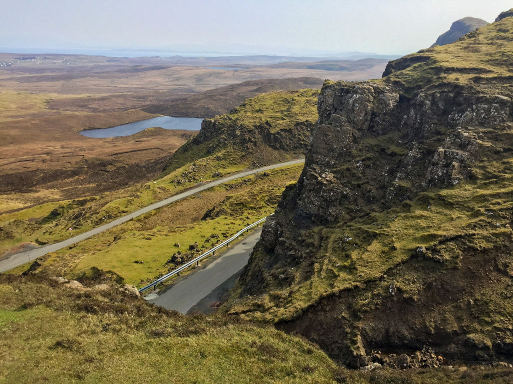
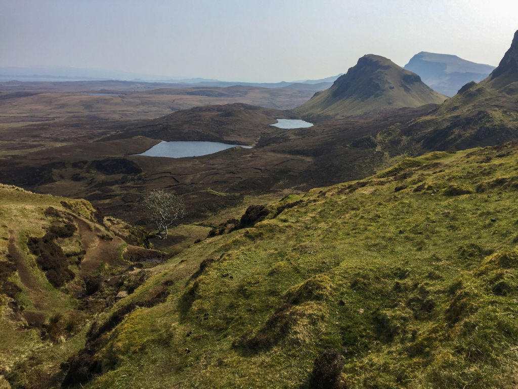
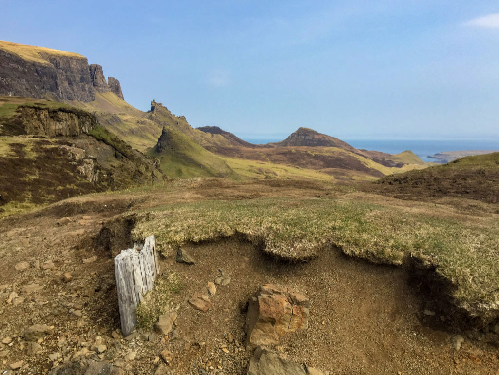
Quiraing walk in pictures


Further reading
Countryfile has a good description of the shorter walk from the car part towards The Table.
Wow, very cool application. Like the way you can zoom and change perspective.