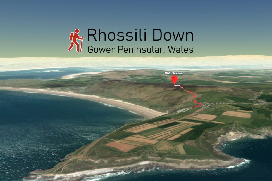
The Gower Peninsula in Wales is spectacular walking country and we are looking forward to going back again this summer. Rhossili Down is one of our favourites.
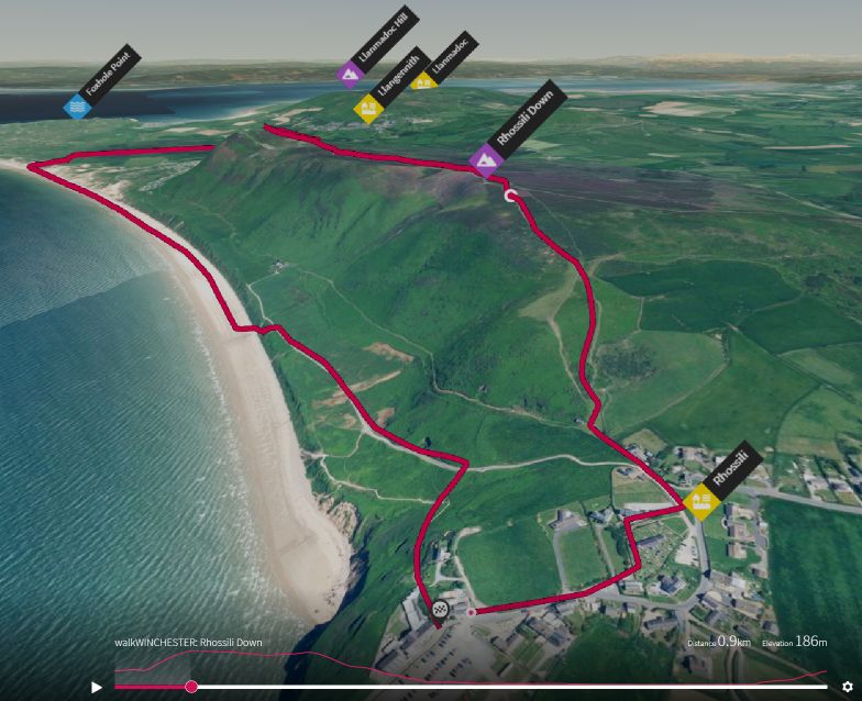
Rhossili is the westernmost village and it can take more than an hour to drive out from Swansea. It has a surprisingly big car park which fills up on a nice summer weekend. Once you get a way from the village, there are not too many people – it’s a vast patch of land owned by the National Trust.
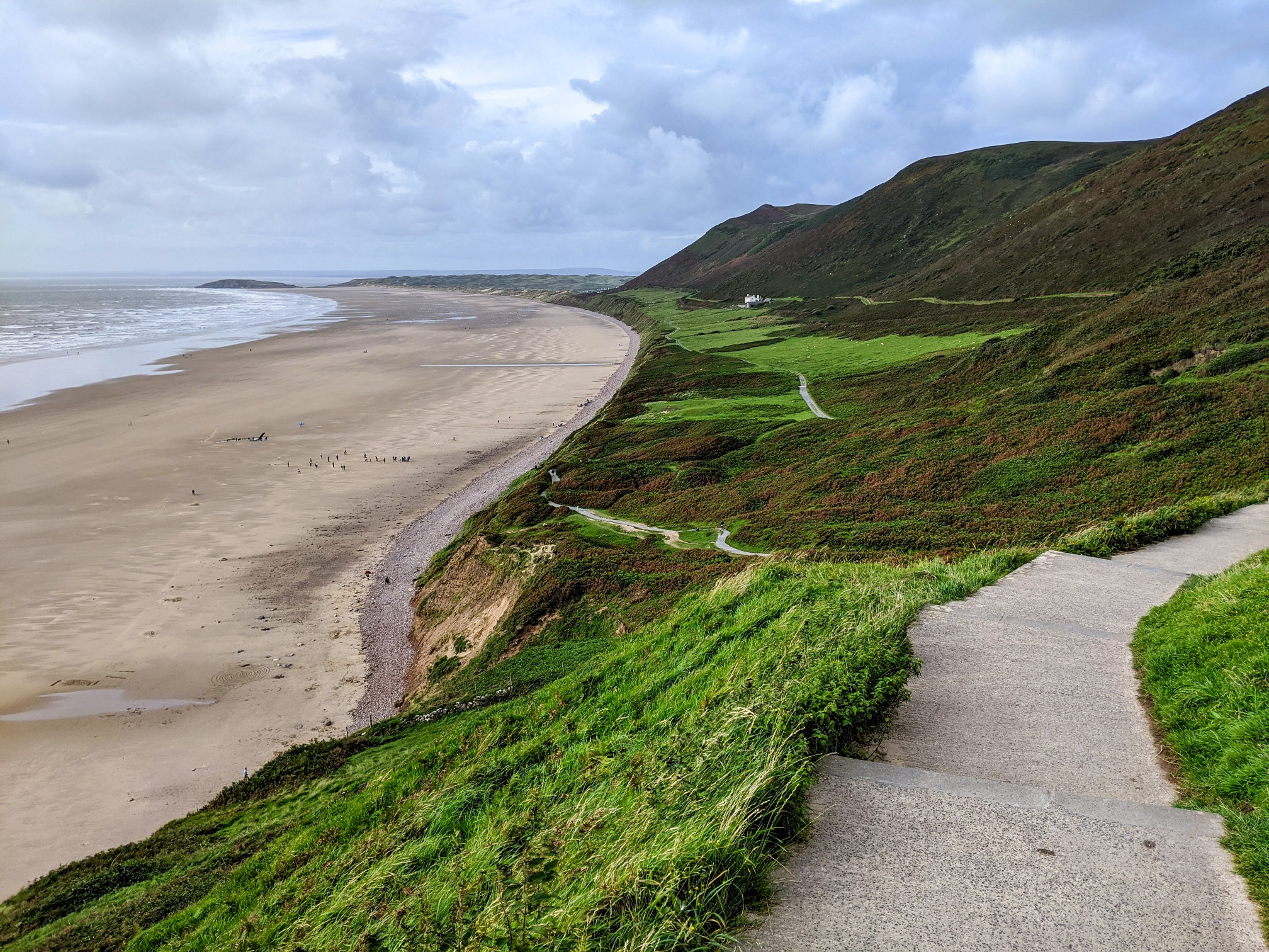
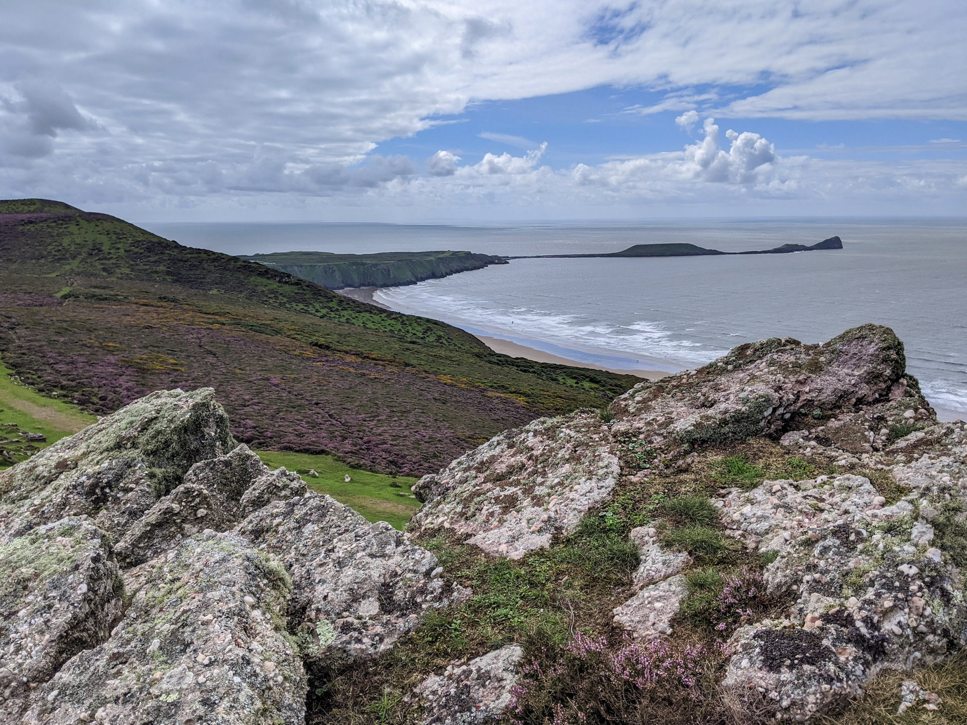
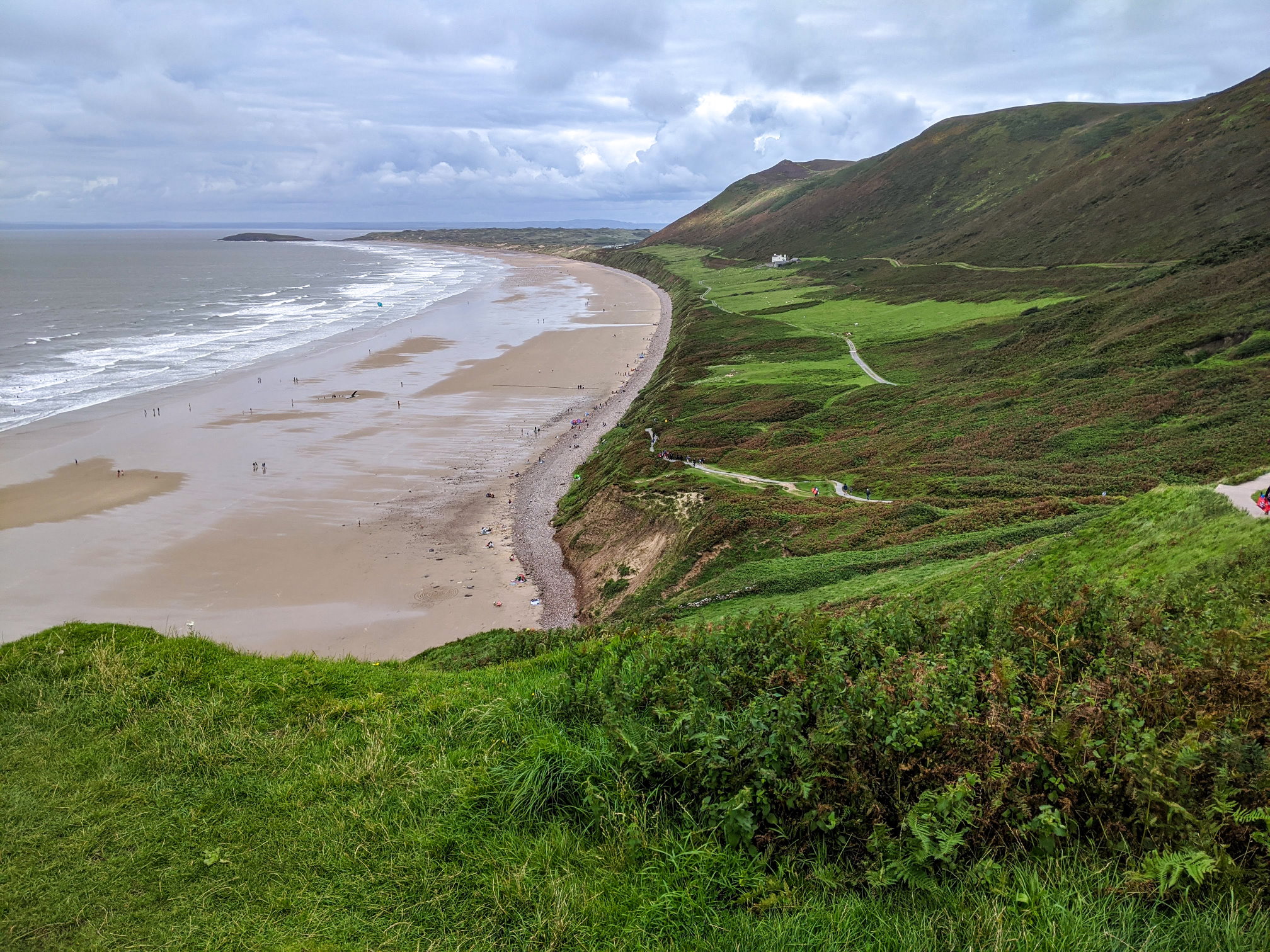
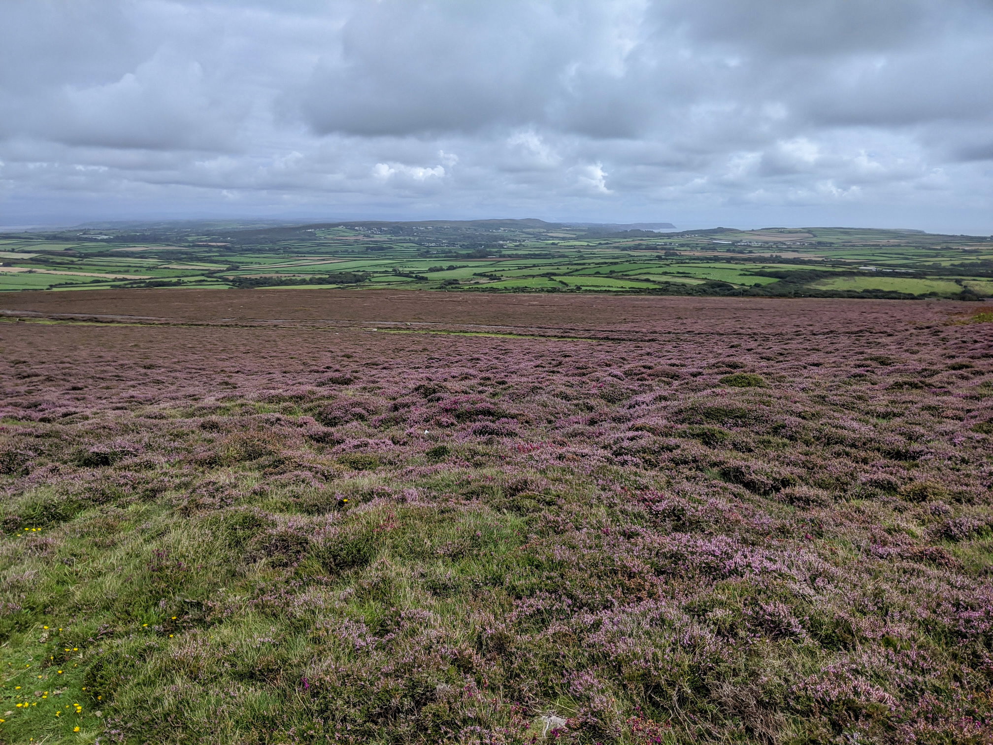
The beacon is at the top of Rhossili Down and at 193 m the highest point on Gower. The Down features mounds, a burial chamber, the ruins of a the remains of a World War II radar installation and great views. The area also seems to be popular with hang gliders.
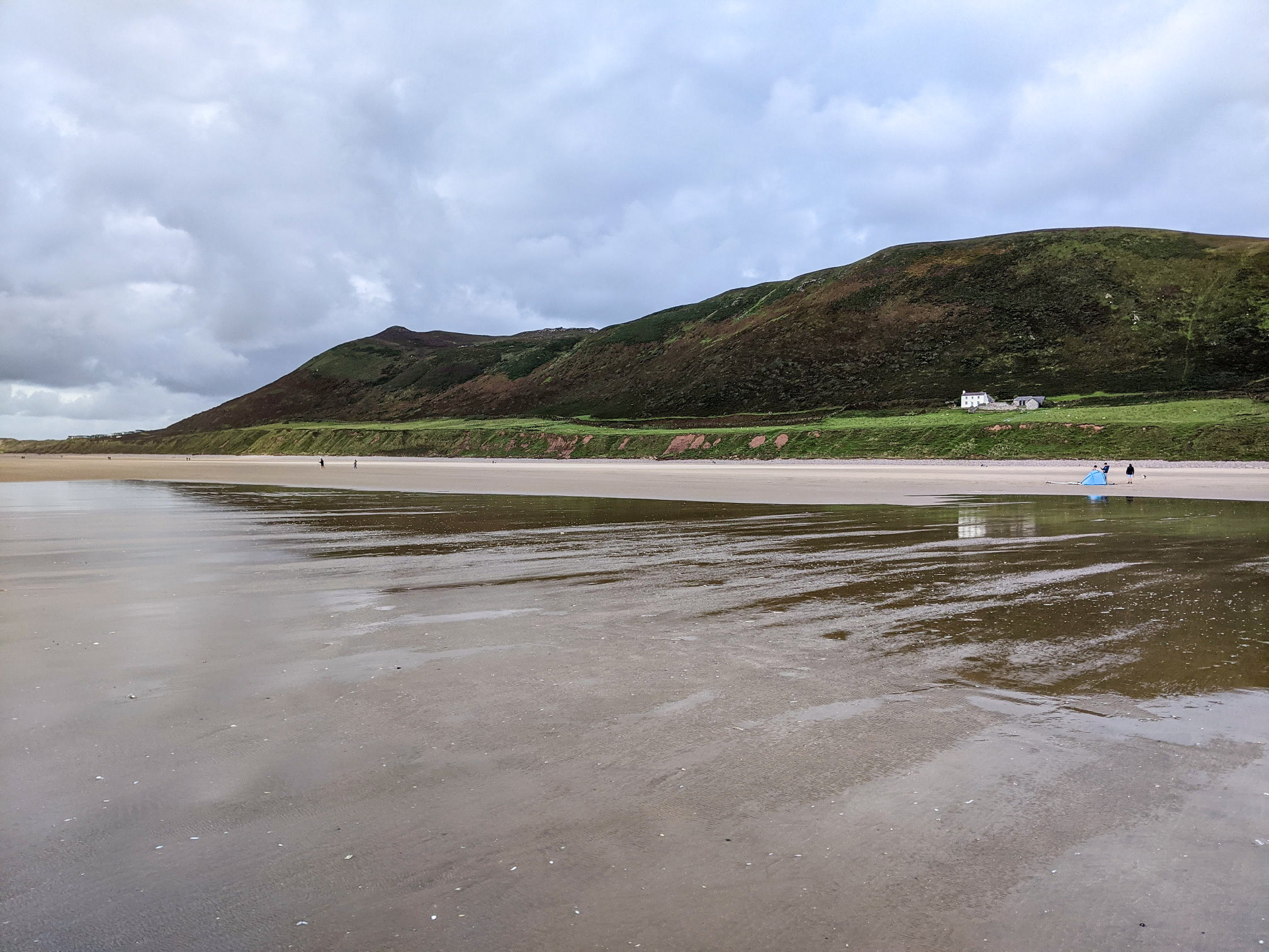
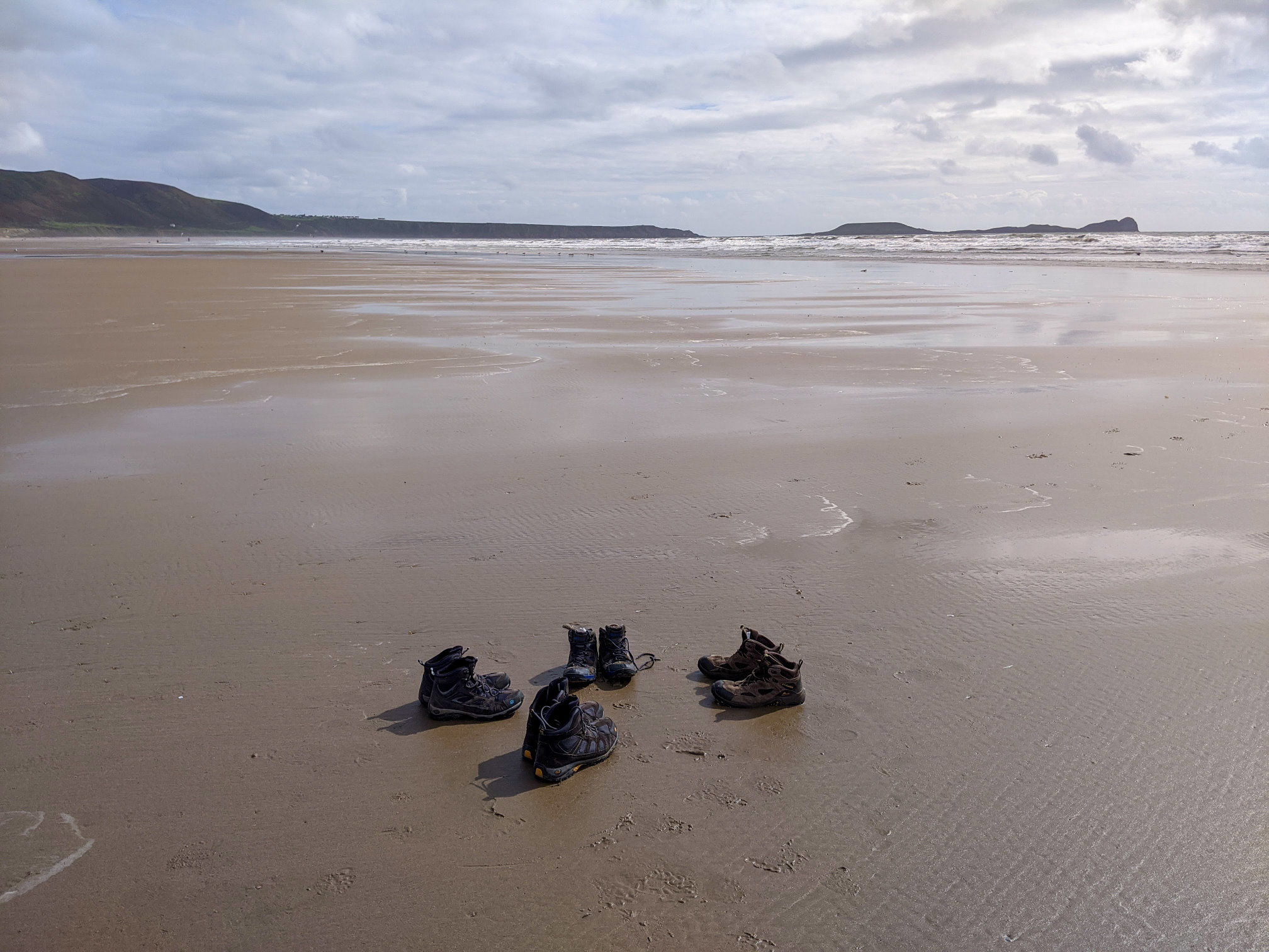
We like this walk as it’s a great combination of open hillside and beach. The beach curves around the bay and is vast, stretching for about 4.5 km. The sand is usually firm and easy to walk and it will take you more than an hour to walk the entire stretch of the beach.
We like other parts of the Gower, like Three Cliffs Beach as well – this is the furthest away from Swansea, worth the extra few miles and definitely or our favourite.
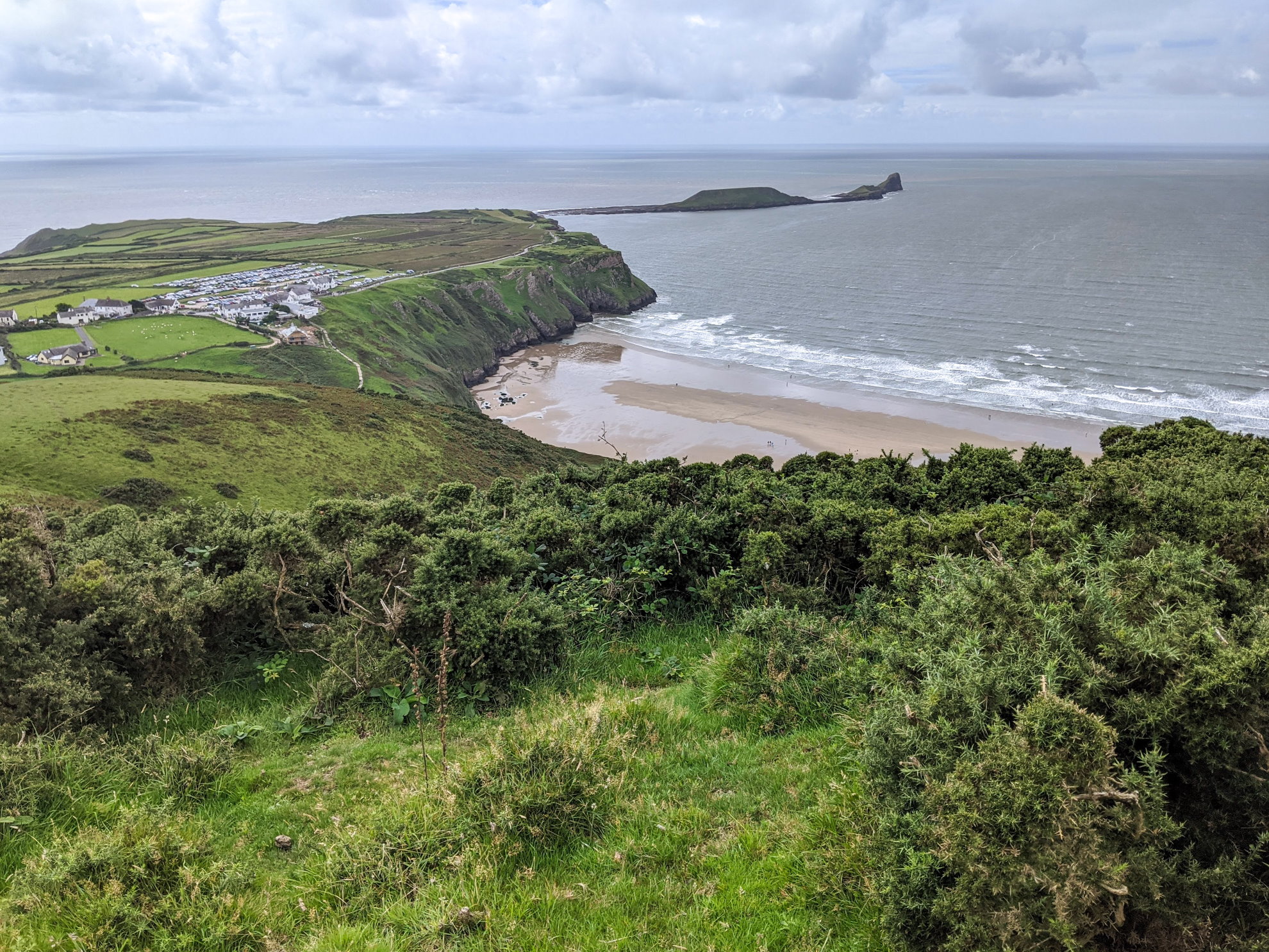
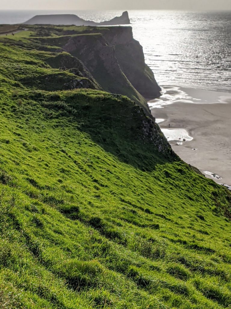
It is possible to combine this walk with an excursion to the headlands towards Worms Head. There’s a lookout station that’s easy to walk to, though you can go further on the causeway, tide and weather to the Worms Head rocks – see the map below.
Length: 8.8 km / 5.5 miles
Time: 2 hours 15 minutes at a swift pace + breaks
Difficulty: Moderate – 231 m total ascent
Interactive Map 
If you are a premium subscriber of OS maps *, there’s also a 3D fly-through available. It can also display points of interest together with the elevation profile of the walk-great for route planning and allow contour lines to be displayed.
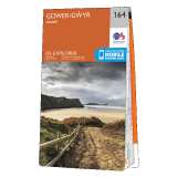
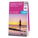
The OS paper maps * covering the walk are
Rhossili Down in pictures