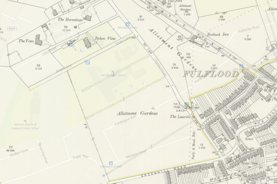
Westgate Allotments
At the begging of the 20th century there used to be allotments west of today’s Cheriton road on the grounds… Read More »Westgate Allotments
At the begging of the 20th century there used to be allotments west of today’s Cheriton road on the grounds… Read More »Westgate Allotments
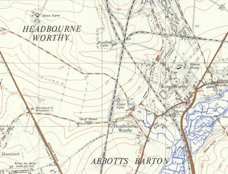
In 1958 the London and South Western Railway is where it is today, but the Didcot, Newbury and Winchester railway… Read More »A34 through Kings Worthy
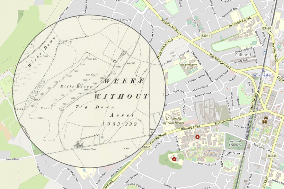
There were other kind of shots fired at the Royal Winchester Golf course about a hundred years ago: Go and… Read More »Royal Winchester Golf Course
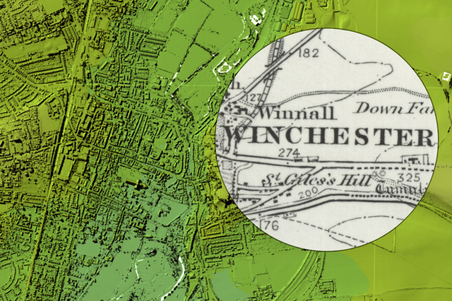
National Library of Scotland has a great map viewer that allows you to roam around a number of old map… Read More »Explore historic maps of Winchester