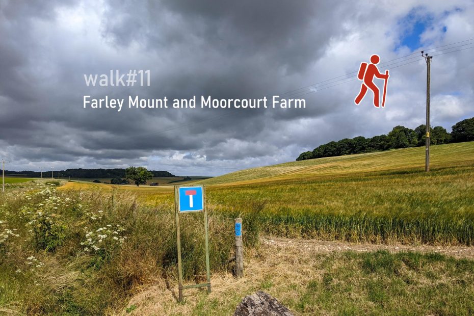
Crabwood and Farley Mount is a popular destination for Winchester residents who want to go for a walk. Rather than driving to one of the car parks on Farley Mount Road, the the walk from the starting point at Waitrose is a great, albeit slightly longer excursion. Following the route counter-clockwise, we leave town on Dean Lane and turn towards Ham Green and Moorcourt Farm. This leads us to the sweeping hills of No Man’s Land before turning left into towards Crabwood/West Wood. The return is on Lanham Lane and we suggest to walk across the fields to the east of the water reservoir just before entering Teg Down. From the top of Teg Down there are multiple ways back to Waitrose. Staying on Teg Down Meads and cutting through the woods from Coppice Close to Hampton Lane is our preferred route.
Start and end point: Waitrose/Aldi on Stockbridge Road, Winchester
Length: 17 km / 10.5 miles
Time: 4 hours at a swift pace + breaks
Difficulty: Moderate – 262 m total ascent
Parking: behind Waitrose, off Fromond Road
Public transport: buses to Fromond Road (bus #3) from Winchester City Centre

Variation: Skip Farley Mount and find a quicker way back through Crab Wood or, for shorter, 2-hour walk, cross the field at Stockers Down into Crabwood to Crabwood Farm Hourse.
The walk is hilly, but not a much as walk#9.
Highlights of walk#11
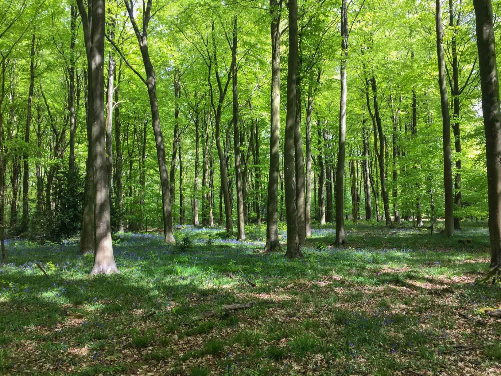
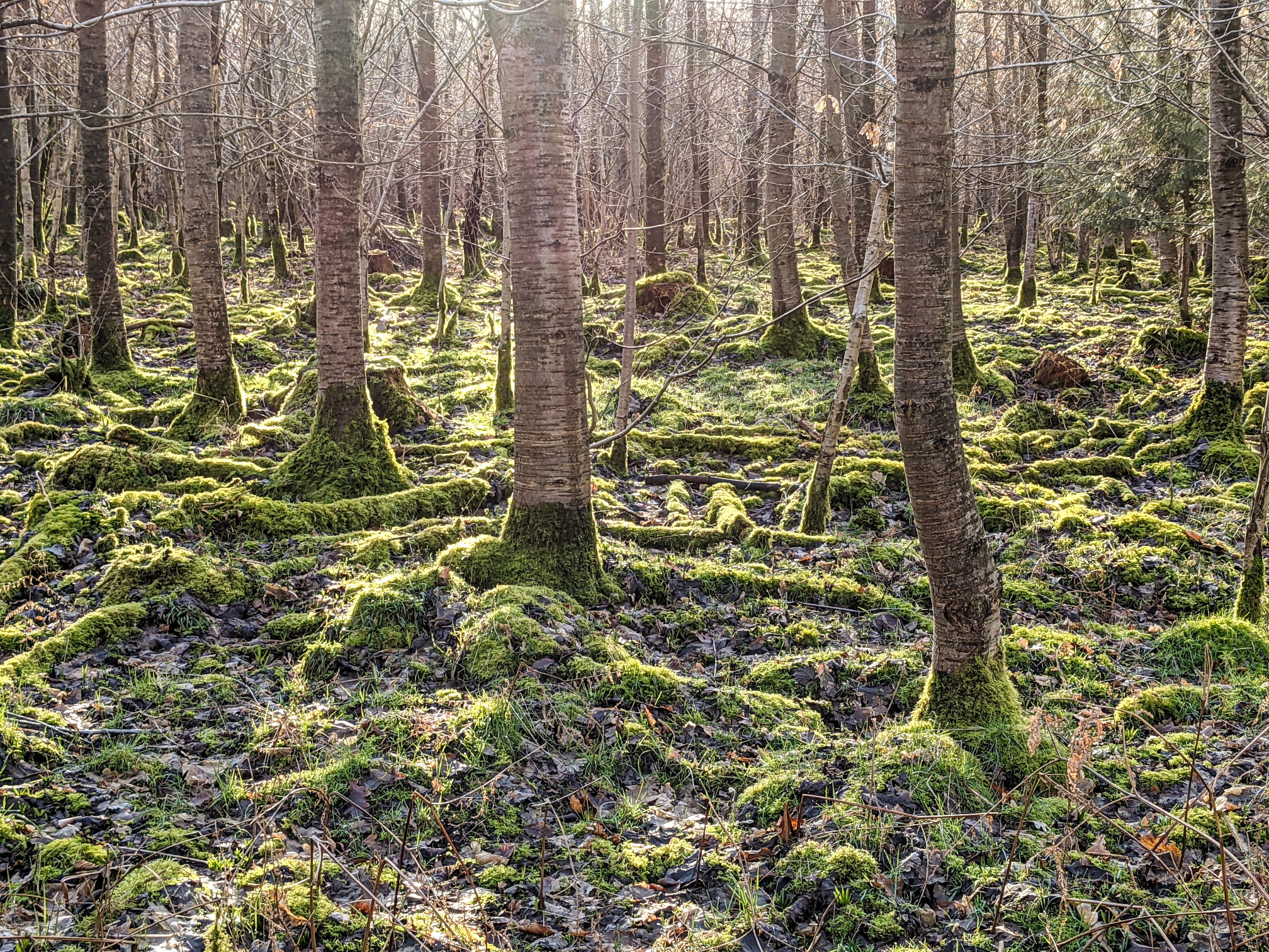
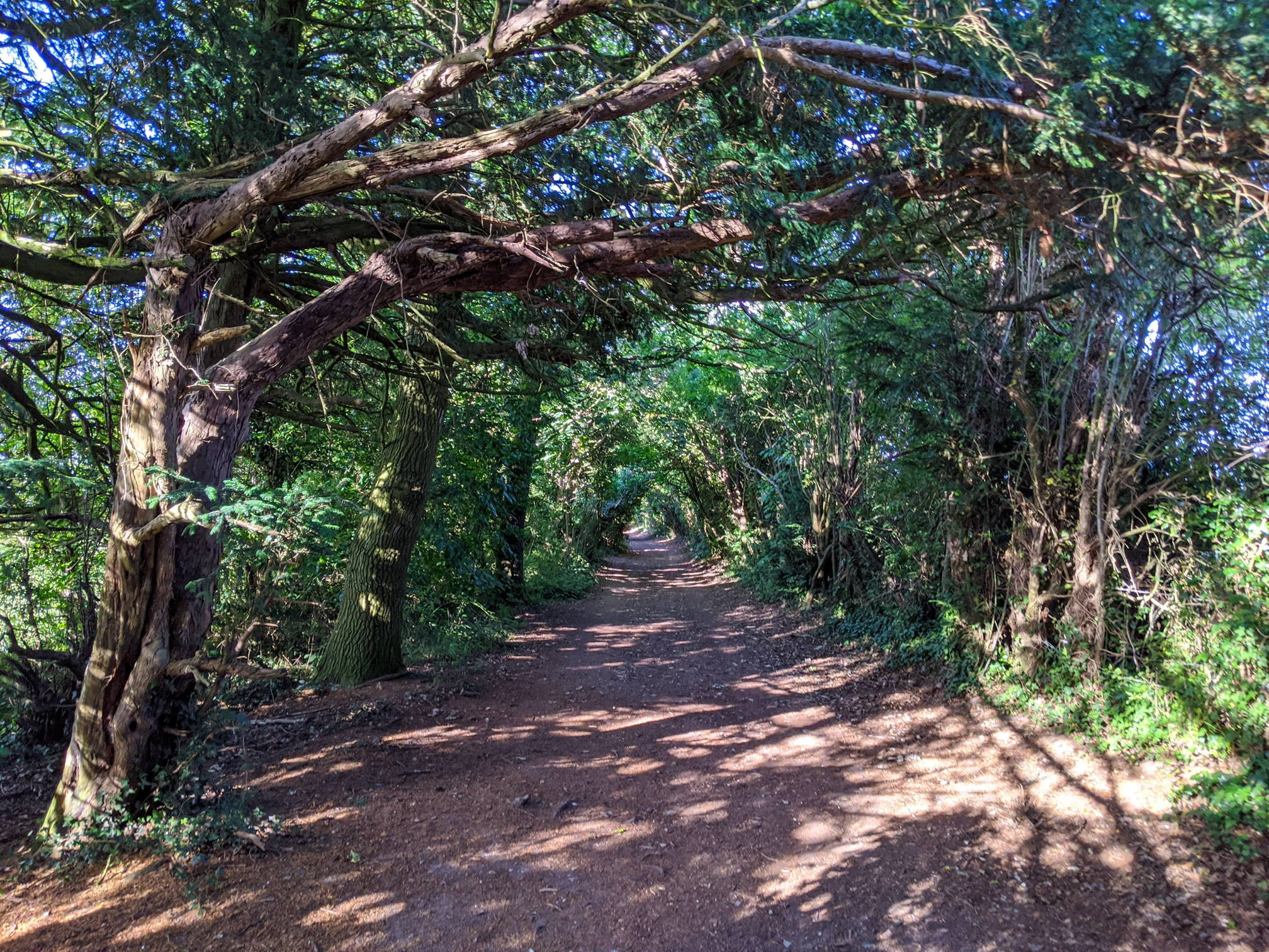
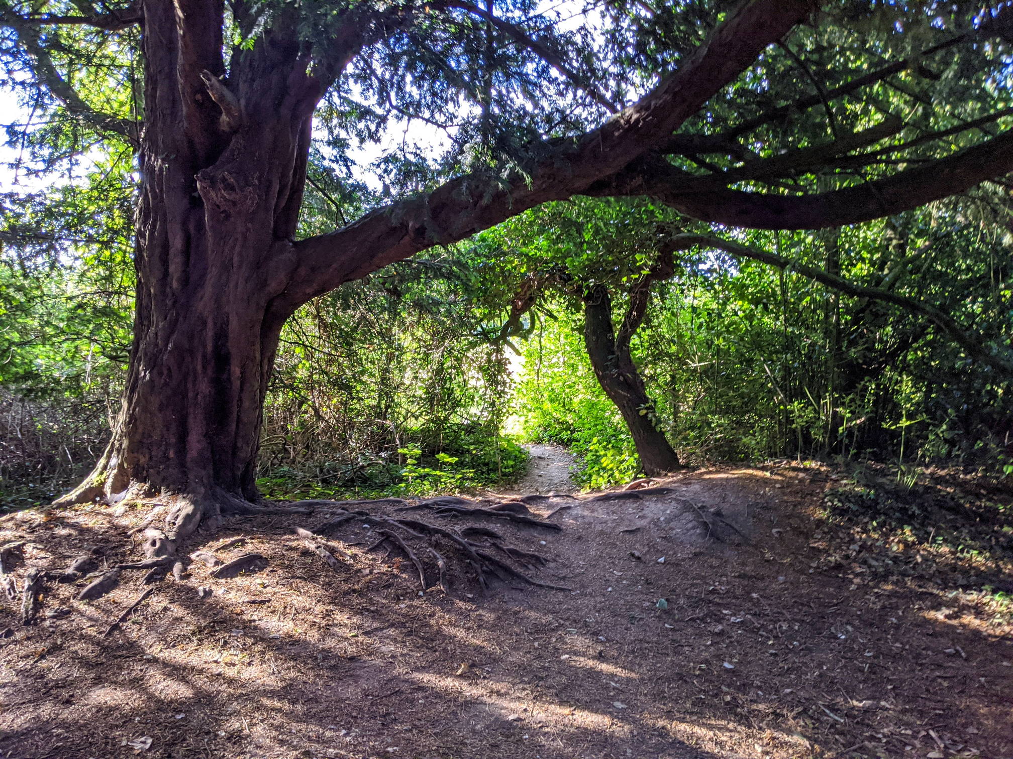
The walk is good even when no bluebells are in bloom. The dense network of paths through West Wood and Crabwood make it easy to vary the walk. We find the paths around Ham Green and Lanham Lane to be the perfect walking routes at any time of the year. However, the bluebells in April and May make the trip even more worthwhile. The walk can be varied in a variety of different ways as there are a lot of parallel and connecting pathways in this area of Winchester.
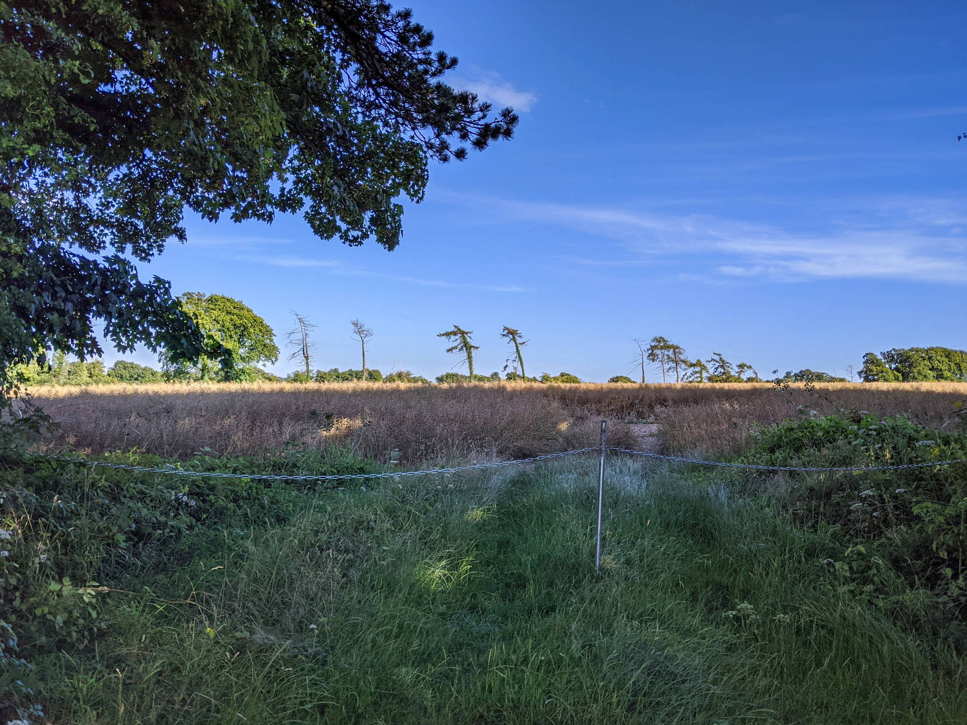
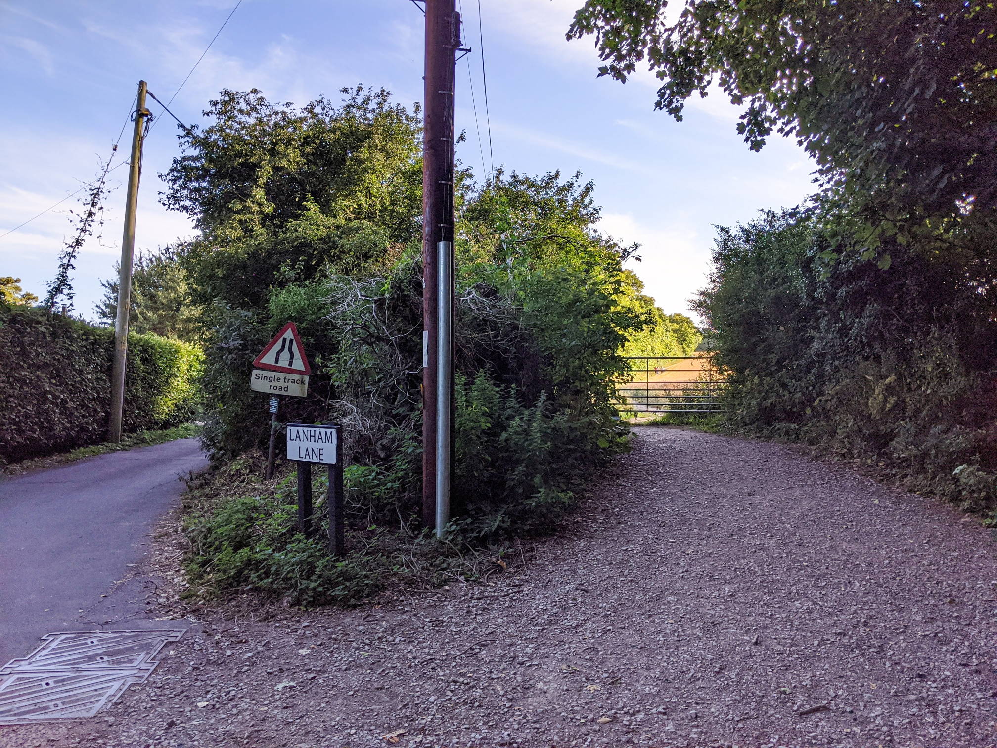
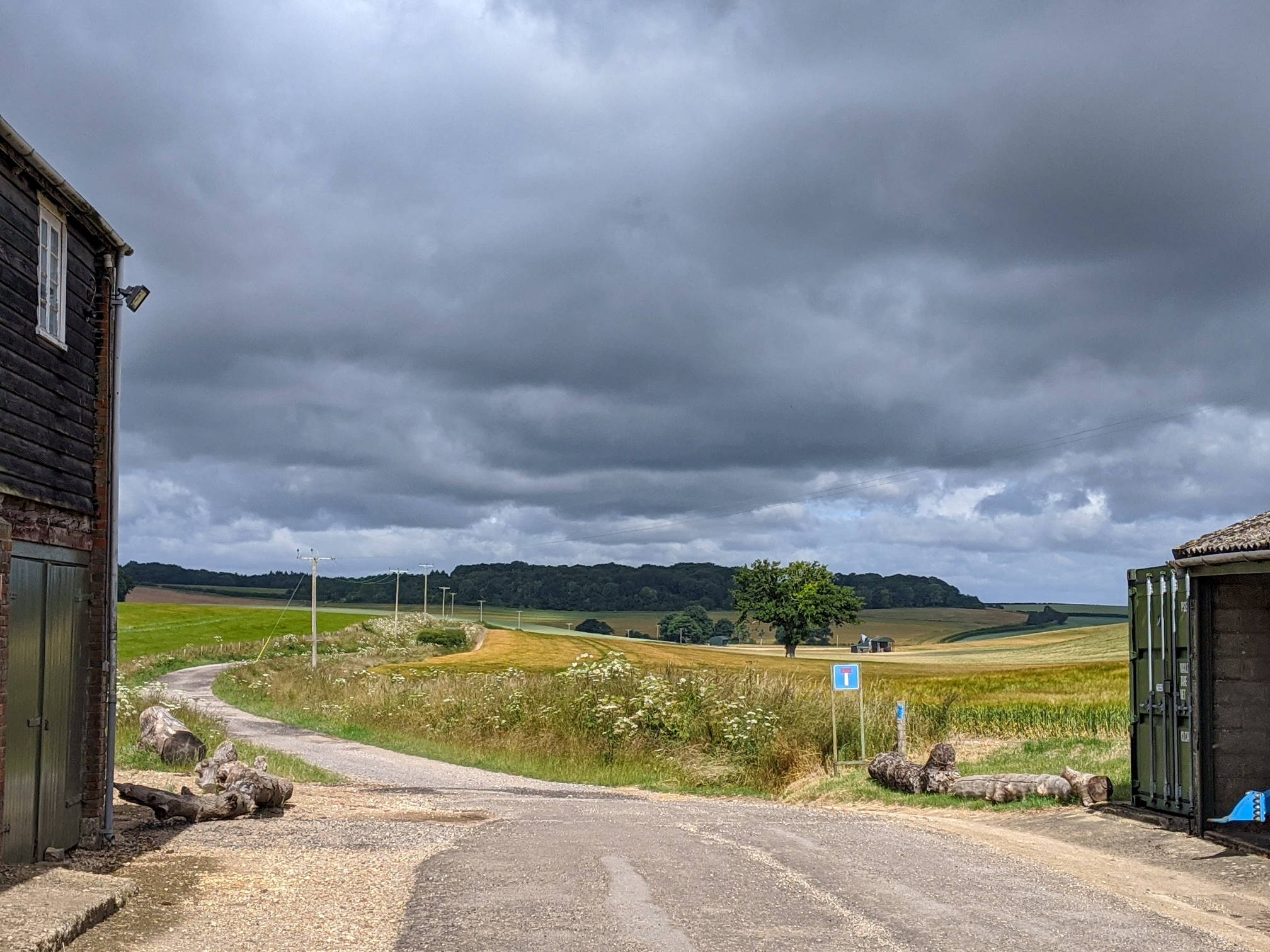
Lanham Lane

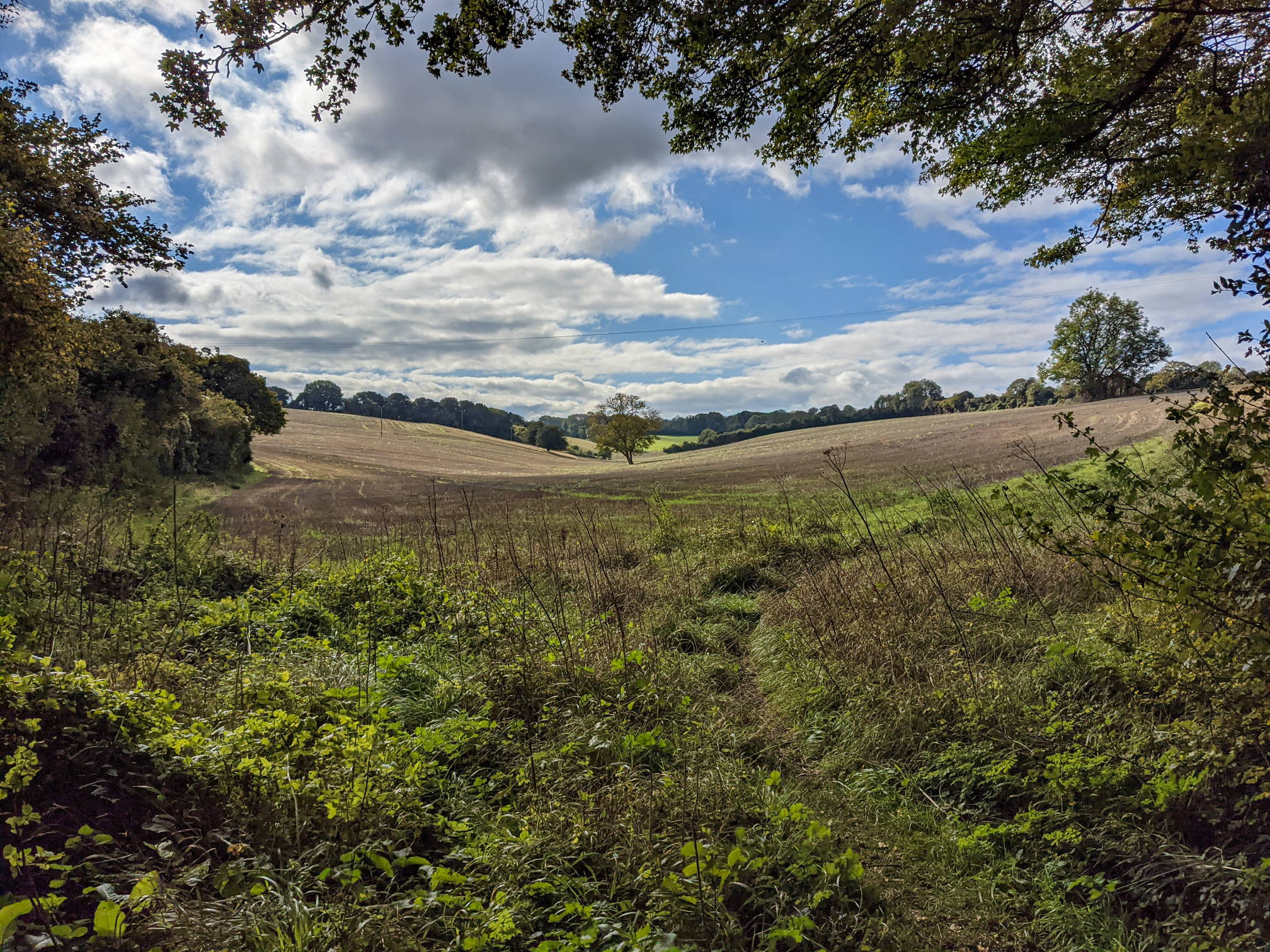
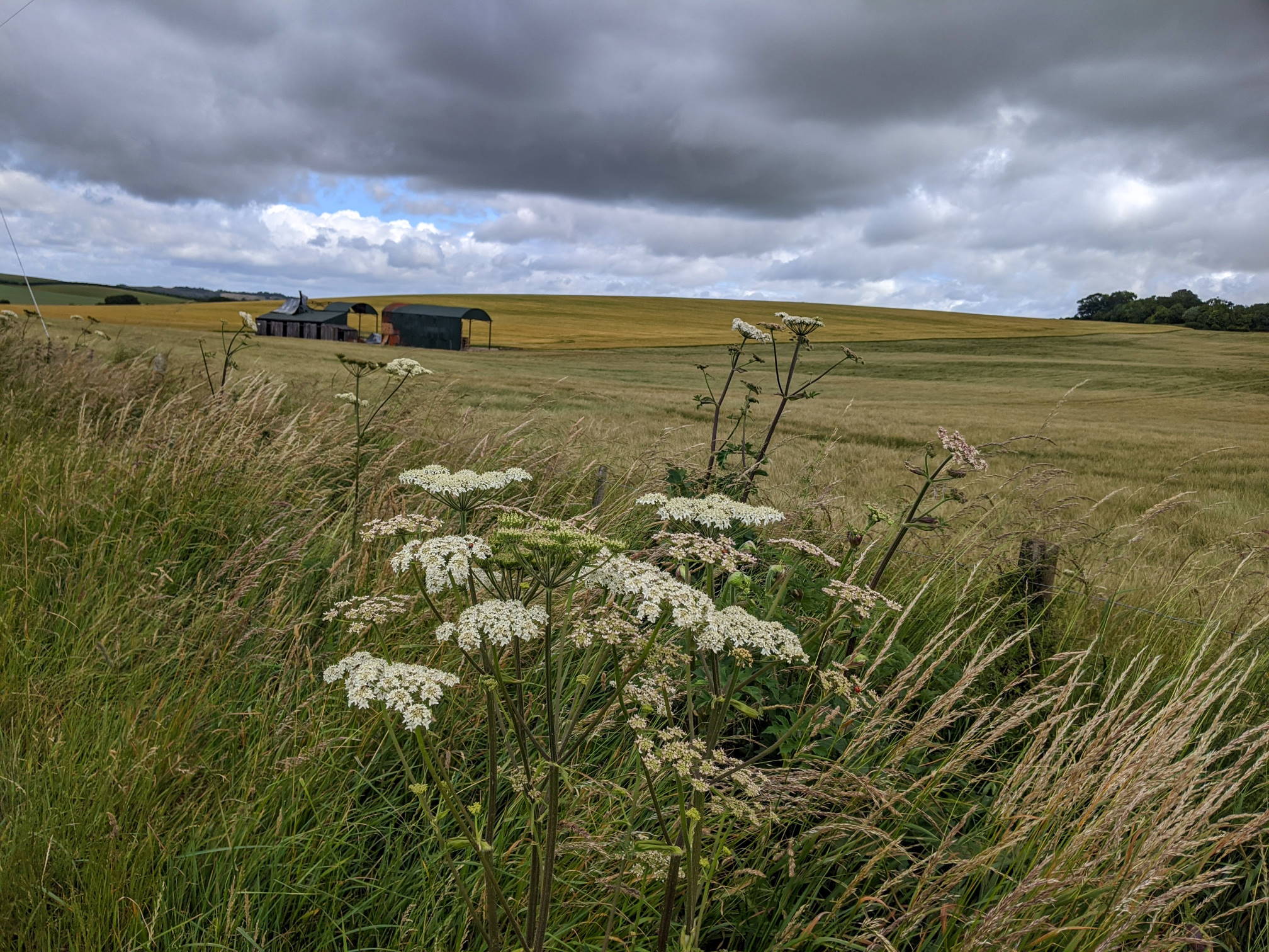
No Man’s Land

This walk is part of the 12 walks challenge. Photos were taken between April and November 2020.