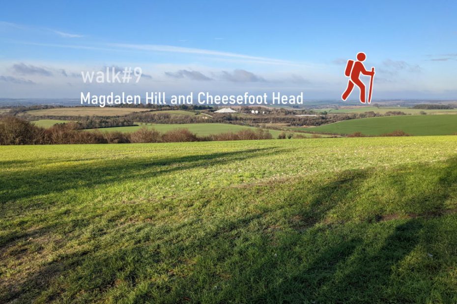
We leave the city to the East, climb up St Giles Hill to take in some South Downs views. Winchester is at the western end of the South Downs National Park and the starting or end point of the South Downs Way. Walking along the top ridge of Magdalen Hill Down, a butterfly conservatory, down and through the village of Chilcomb, we ascend to Cheesefoot Head, a site of three natural amphitheaters. This walk is more challenging with multiple hills and a final ascent to Morestead Road before crossing the M3 again at Twyford Down and returning to the city centre.
More information on start and end point
Length: 14.8 km / 9.2 miles
Time: 3 hours 30 minutes at a swift pace + breaks
Difficulty: Moderate – 317 m total ascent
Follow Will Walker on his walk from King Alfred, across St Giles Hill to Magdalen Down and up to Cheesefoot Head before returning back to Winchester city centre.
Experience an interactive 3D fly-through of this walk.
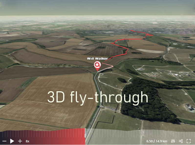
This walk is almost as hilly as walk#12.
Highlights of walk#9
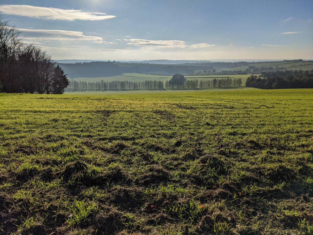
This is a hilly walk will multiple ascents, but you will be rewarded with sweeping south downs views–here’s the height profile:

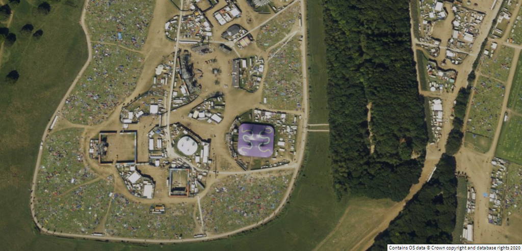
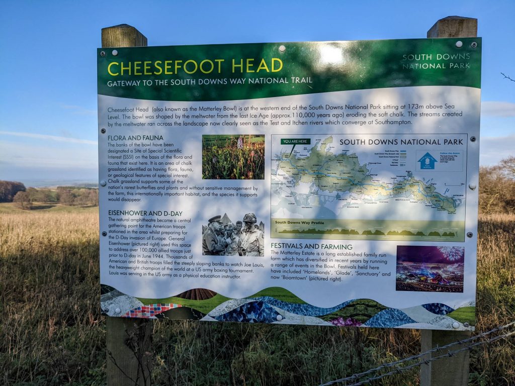
The most challenging part is to climb up to Cheesefoot Head toward the middle of the walk. It’s worth crossing the A272 to have a quick look at the site that has seen many music festivals. In the aerial photography view in OS Maps *, you can easily spot the remnants of a festival:
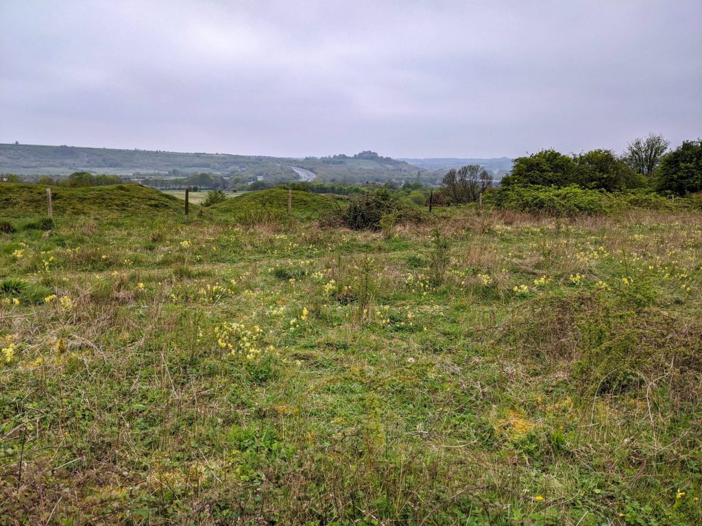
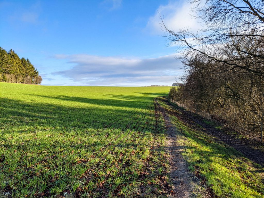
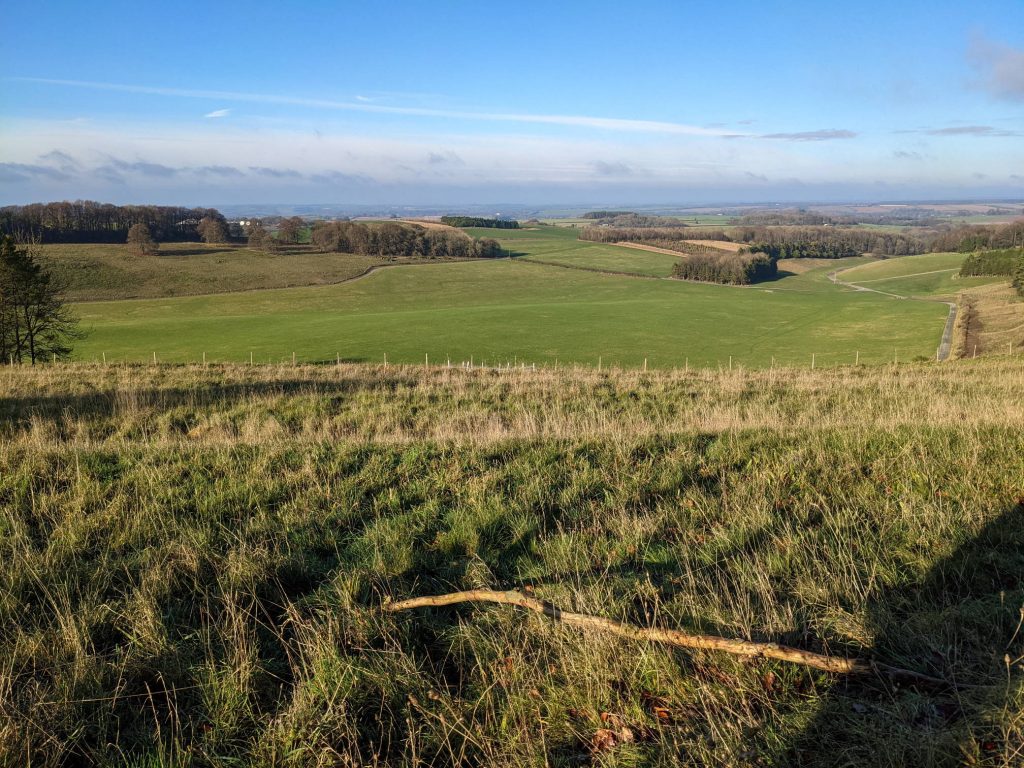
Sweeping South Downs views
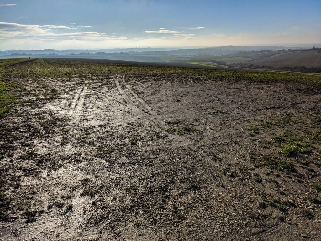
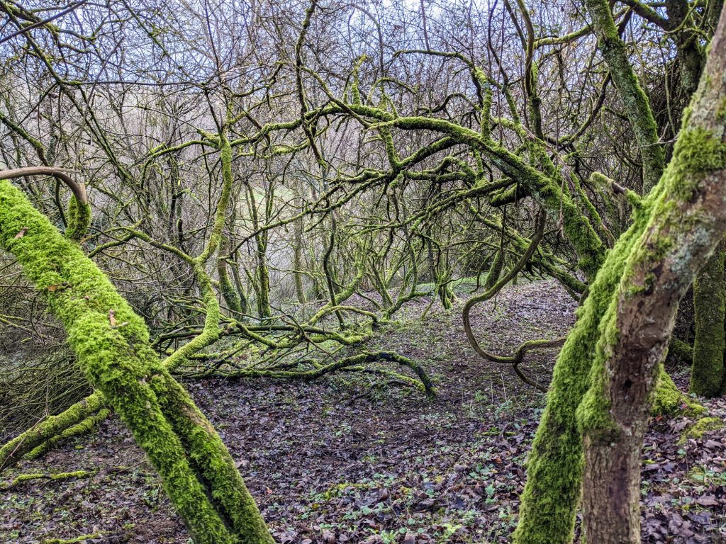
Around Chilcomb
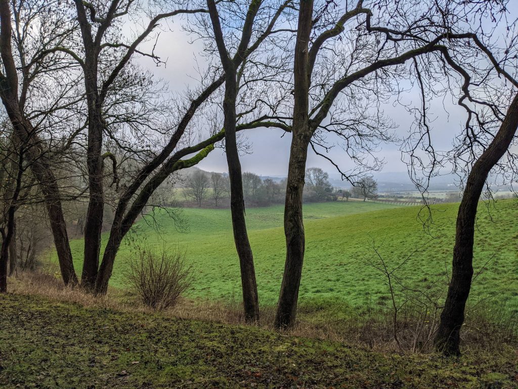
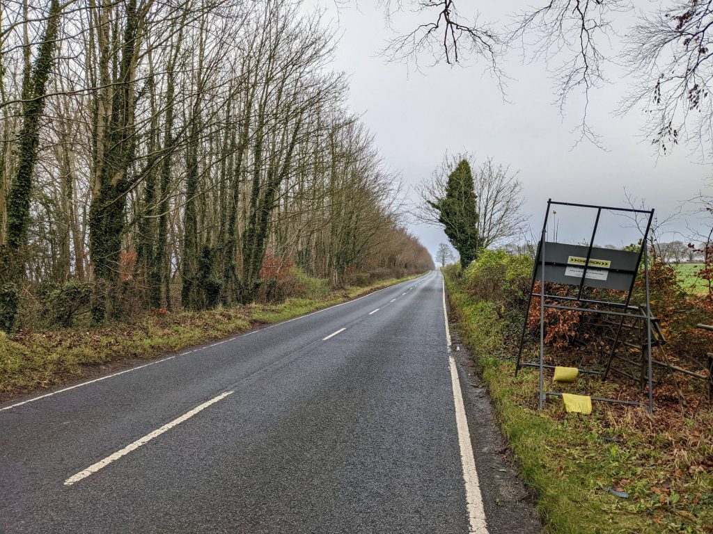
Cheesefoot Head
This walk is part of the 12 walks challenge. Photos were taken in April-December 2020.
