Skip to content
walkWINCHESTER
walkWINCHESTER
  • About walkWINCHESTER
  • About Winchester, Hampshire
  • Affiliate
  • All walks
  • Beyond Winchester
  • Complete the 12 walk challenge in Winchester
  • Explore Winchester
  • Maps of Winchester, Hampshire
  • Privacy Policy
  • Short walks
  • Terms and conditions
  • Visit Winchester
  • walkWINCHESTER posts
  • Winchester walks

walk#12 – from one sluice to the next

  • by Will Walker
  • September 12, 2021
walk#12 Compton, Shawford and Otterbourne

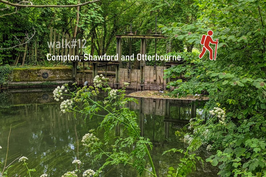
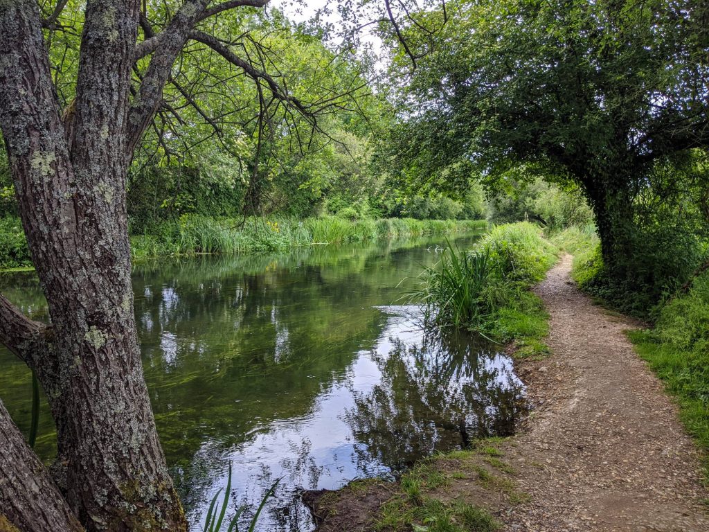
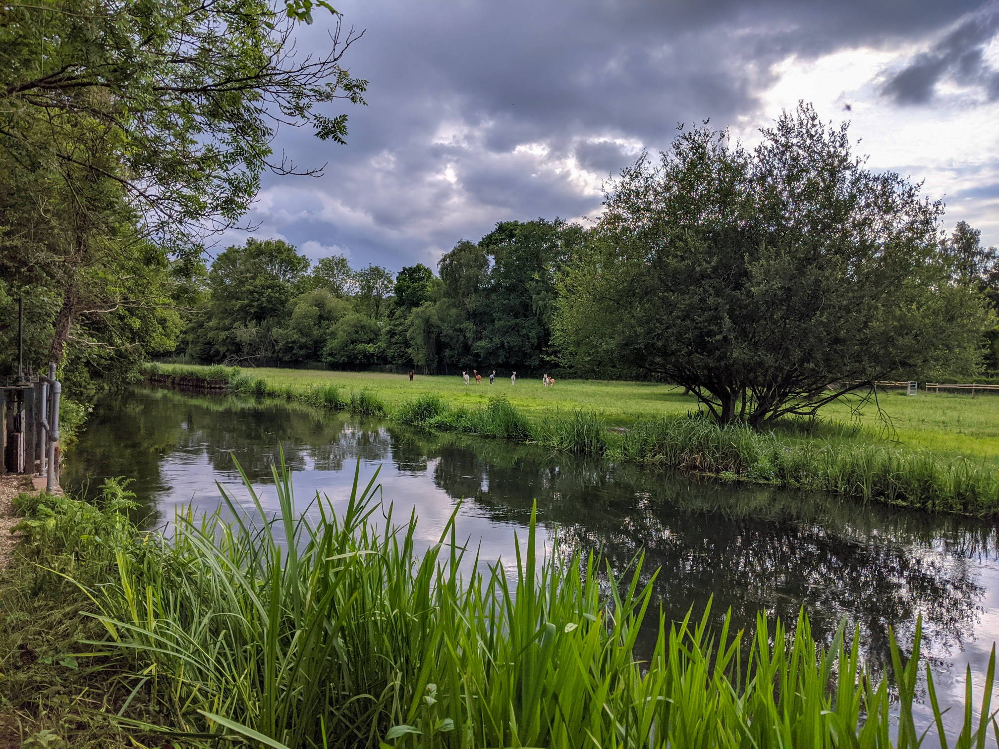
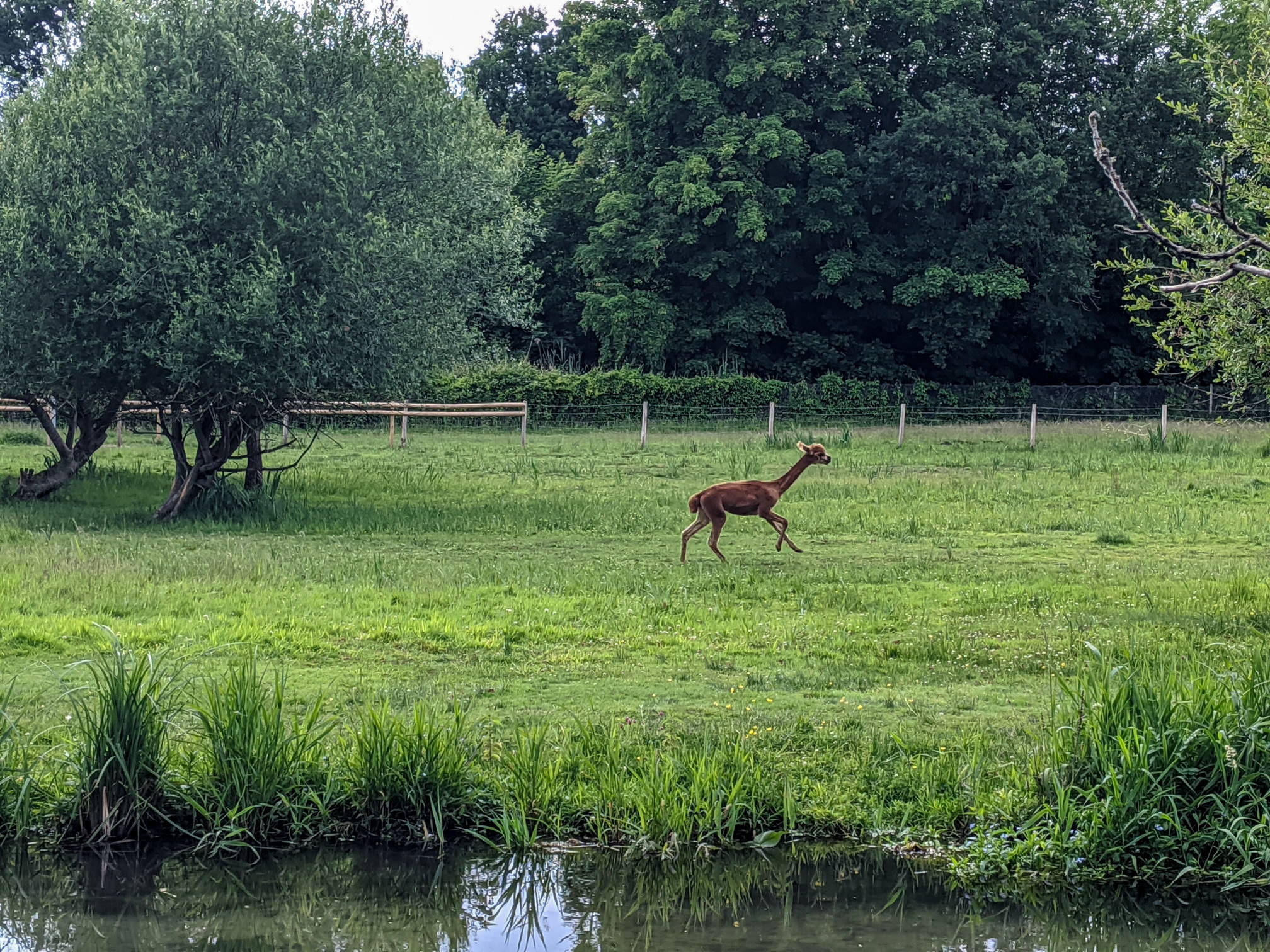
We walk towards Shawford and Otterbourne along the River Itchen on the 12th and final walk of the 12 walks challenge. It’s also the longest. Starting in Badger Farm, the path skirts Compton and leads across Shawford Down to the River Itchen on the Eastern side of the railway line. The path by the river can get muddy in wet weather. It crosses from the right to the left bank a few times. At Highbridge we leave the river, cross the railway line again and climb up past Otterbourne Grange to Otterbourne Hill. Further on, past the village of Otterbourne the road leads back to Shawford before crossing the M3. Sheperds Lane is a lovely residential street that leads to Meadow Barn and Silkstead. From here a wide path returns back to Yew Hill butterfly reserve and the open land between ‘Texas’ and Oliver’s Battery.

Help - how to navigate this map

full screen icon full screen mode
zoom in icon zoom in
zoom out icon zoom out
compass button compass to orient the map – north at the top
locate-button locate your current position on the map (browser will ask for permission, works best on phones due to use of GPS). We don’t track your location.

Phone/tablet/touchscreen:
– Tap on symbols for more information about the walks and starting points
– Pan map: Tap on map and drag into any direction
– Zoom In/out: Pinch with two fingers
– Tilt map: Tap with two fingers and drag up or down
– Rotate map: Tap with two fingers and rotate
Laptop with mouse:
– Click on symbols for more information about the walks and starting points
– Pan map: Left click on map with mouse and drag into any direction
– Zoom In/out: Mousewheel or ‘+’ ‘-‘ keys on keyboard
– Tilt map: Right click and drag mouse pointer up or down
– Rotate map: Right click and drag mouse pointer left or right

Start and end point: Sainsburys

Length: 19.5 km / 12.1 miles
Time: 4 hours 30 minutes at a swift pace + breaks
Difficulty: Moderate – 335 m total ascent
Parking: Sainsburys car park (though watch any potential time limits imposed by car park operator as this is a fairly long walk), alternative street parking in Oliver’s Battery
Public transport
: buses to Sainsburys (bus #5) from Winchester City Centre

Click to view in OS Maps

Variation: Instead of walking on the main Otterbourne Road from to Shawford, it’s possible to cut back down to the river (across a graveyard) and re-join the route from the southern end of Shawford Down

Walk#9 is another fairly long and hilly walk.

Highlights of walk#12

RIver Itchen
Tranquil River Itchen
empty farm barn
Meadow Barn, at the end of Shepherd’s Lane

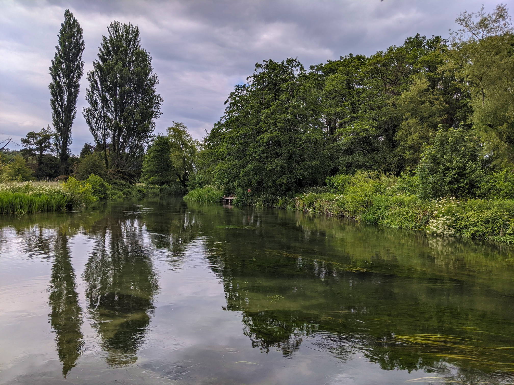
Shawford Down is a nice bit of open land besides the Shawford Railway station. We love the southward tour of multiple sluices along the Itchen way. A short stretch along Otterbourne Road is quite urban, but leads to a network of farmland and good vistas around Yew Hill.

footpath by the river
Itchen Way
Alpacas by the river
Alpaca by the river
Alpaca by the river
grass and brambles
Black and white on the far side of the river
fields and rolling landscape in the background
View from Yew Hill with St Catherine’s Hill in the background

This walk is part of the 12 walks challenge. Photos were taken in June 2020.

Leave a Reply Cancel reply

Your email address will not be published. Required fields are marked *

Tags:fieldsmoderateriver
© walkWINCHESTER 2022 - T&Cs - privacy