Skip to content
walkWINCHESTER
  • 12 walks
  • Clarendon Way
  • Short walks
  • Beyond Winchester
walkWINCHESTER
  • Short walks
    • Magdalen Hill Down
    • Farley Church
    • See the Greta Thunberg statue in Winchester for yourself
    • Ham Green, Sparsholt
  • Clarendon Way – 9 loops
    • Clarendon Way loop 1 – Sarum Road
    • Clarendon Way loop 2 – West Wood
    • Clarendon Way loop 3 – Farley Mount
    • Clarendon Way loop 4 – Furzedown and Beacon Hill
    • Clarendon Way loop 5 – Houghton and Bossington
    • Clarendon Way loop 6 – Broughton
    • Clarendon Way loop 7 – West Tytherly, Norman Court
    • Clarendon Way loop 8 – Clarendon Park
    • Clarendon Way loop 9 – Clarendon Palace
  • Complete the 12 walk challenge in Winchester
    • walk#1 – get started with an easy, half hour walk
    • walk#2 – wetlands, footbridges and a bit of mud
    • walk#3 – fields, wildflowers and deer (if you are lucky)
    • walk #4 – grand views of the city and farmlands
    • walk#5 – hill fort, bunkers and meadows
    • walk #6 – wild river and parkland
    • walk#7 – horses, burial mounds and an avenue
    • walk#8 – 36 holes and a new village
    • walk#9 – South Downs views
    • walk#10 – railway line and watercress
    • walk#11 – no man’s land to bluebell heaven
    • walk#12 – from one sluice to the next
  • Visit Winchester
    • Starting point: King Alfred statue, Winchester
  • Maps of Winchester, Hampshire
    • Explore historic maps of Winchester
    • Colouring in maps Winchester
    • Managing environmental impact of housing development in Hampshire
    • Explorer map Winchester – Ordnance Survey paper maps
  • Beyond Winchester
    • Barton on Sea to Hordle Cliff
    • OS Maps Australia review: From Wales to New South Wales
    • Rhossili Down
    • Quiraing walk 3D fly-through
    • Where is this ? Random Earth
  • About walkWINCHESTER
    • Privacy Policy
    • Affiliate
    • Terms and conditions
  • About Winchester, Hampshire
    • Winchester place names
  • Winchester Books
  • All walks

Clarendon Way loop 5 – Houghton and Bossington

  • by Will Walker
  • September 26, 2021

Help - how to navigate this map

full screen icon full screen mode
zoom in icon zoom in
zoom out icon zoom out to see the entire Clarendon Way (thick pink line)
compass button compass to orient the map – north at the top
locate-button locate your current position on the map (browser will ask for permission, works best on phones due to use of GPS). We don’t track your location.

Phone/tablet/touchscreen:
– Tap on symbols for more information about the walks and starting points
– Pan map: Tap on map and drag into any direction
– Zoom In/out: Pinch with two fingers
– Tilt map: Tap with two fingers and drag up or down
– Rotate map: Tap with two fingers and rotate
Laptop with mouse:
– Click on symbols for more information about the walks and starting points
– Pan map: Left click on map with mouse and drag into any direction
– Zoom In/out: Mousewheel or ‘+’ ‘-‘ keys on keyboard
– Tilt map: Right click and drag mouse pointer up or down
– Rotate map: Right click and drag mouse pointer left or right

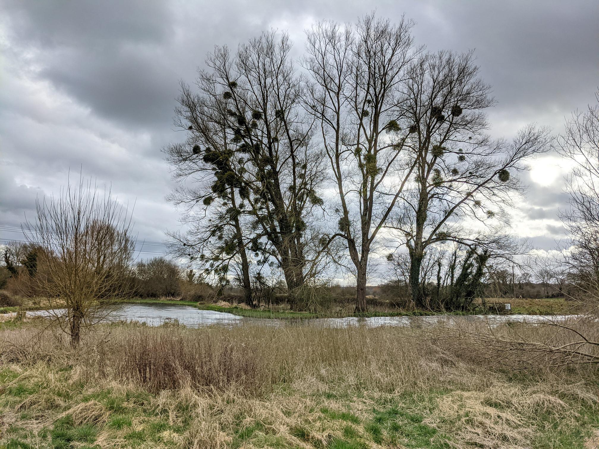
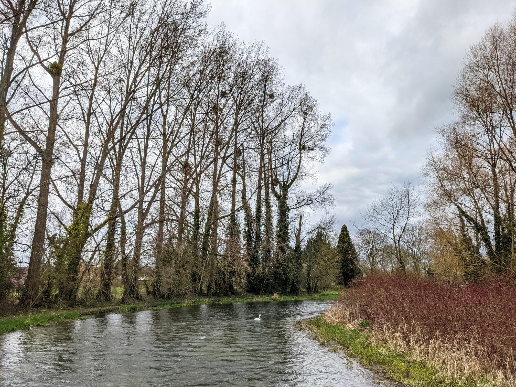
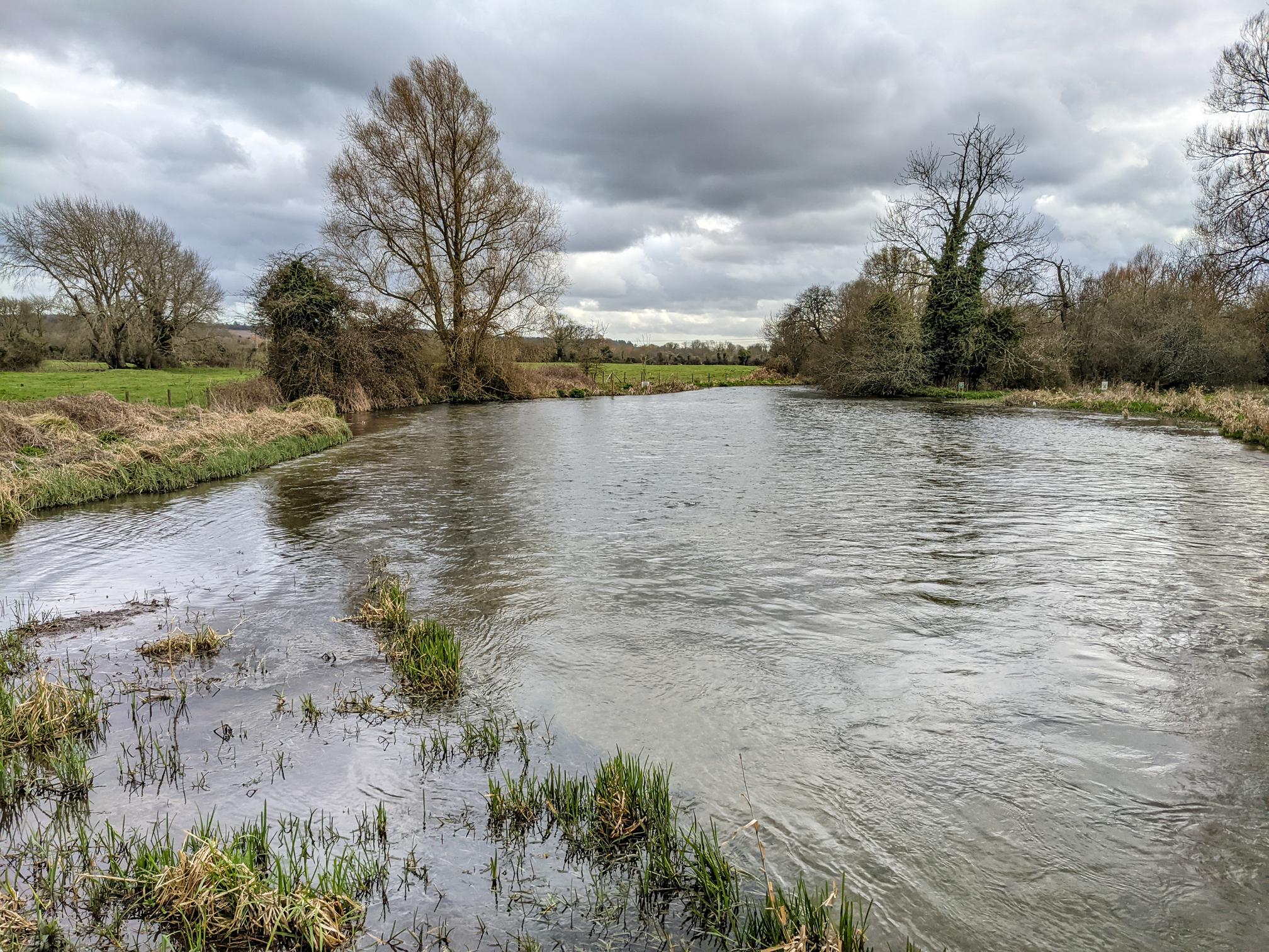
The crossing of the River on the Clarendon Way happens the village of Houghton. Our walk loops back and crosses the river again between Bossington and Horsebridge.

The walk starts in King’s Somborne where there’s roadside parking. Bus routes 68 and X99 link King’s Somborne to Winchester, Andover and Salisbury, whilst bus 90 links King’s Somborne with Romsey and Stockbridge. More public transport info here.

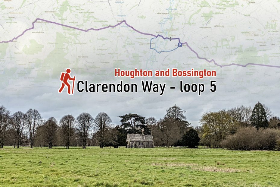
Length: 7.6 km / 4.7 miles
Time: 1 hours 45 minutes at a swift pace + breaks
Difficulty: Easy – 80 m total ascent

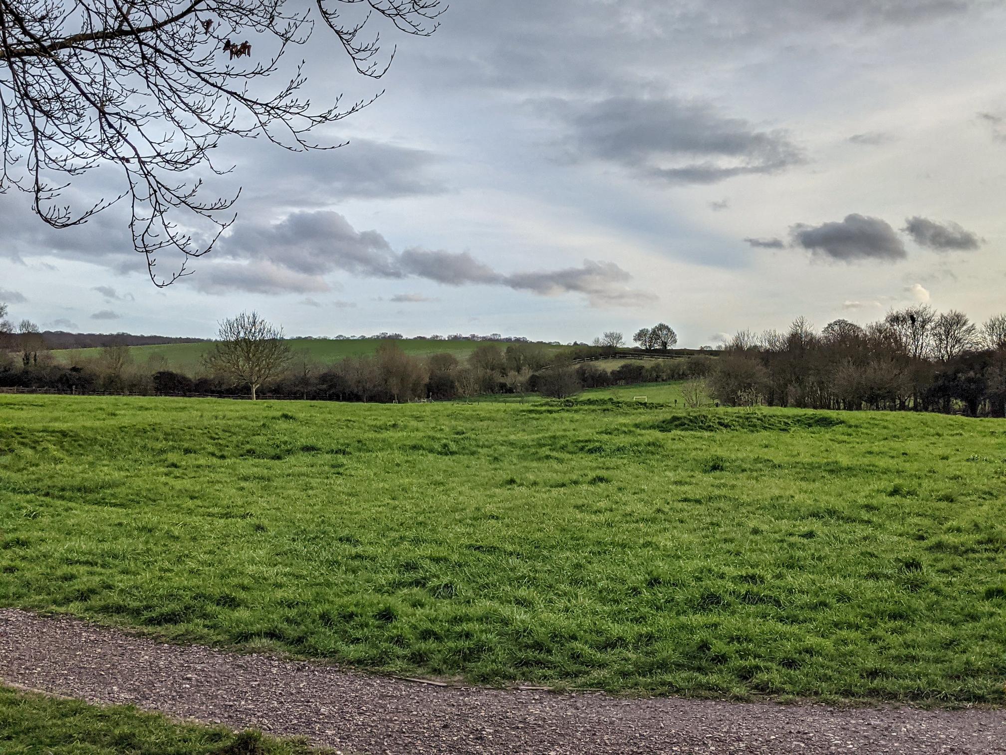
The walk goes around the Bossington estate, a fly-fishing estate on the river Test. It also has a grass air strip–you could also fly here in a light aircraft and start the walk from Bossington.

Click to view in OS Maps
6 7 _6km 
4 Okm 
2. Okrn 
Lowest Highest 77 m 
Total ascent Bom

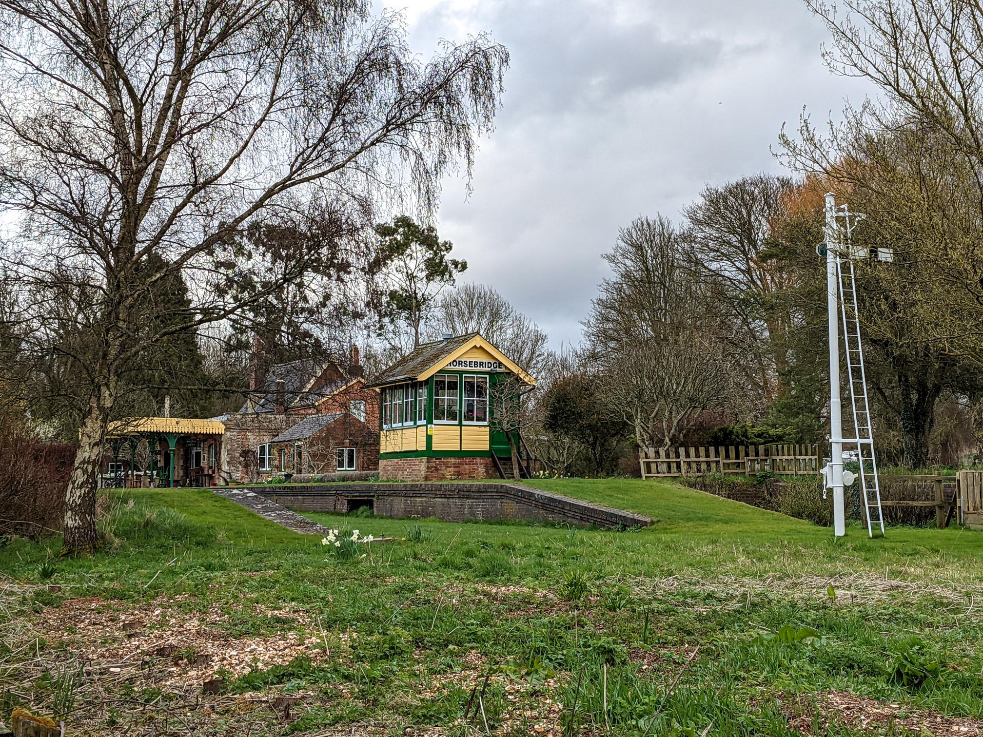
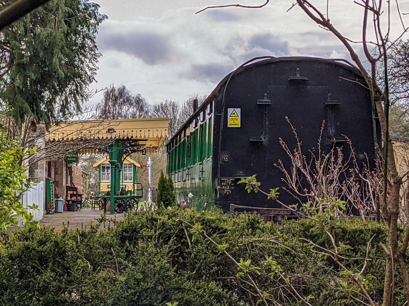
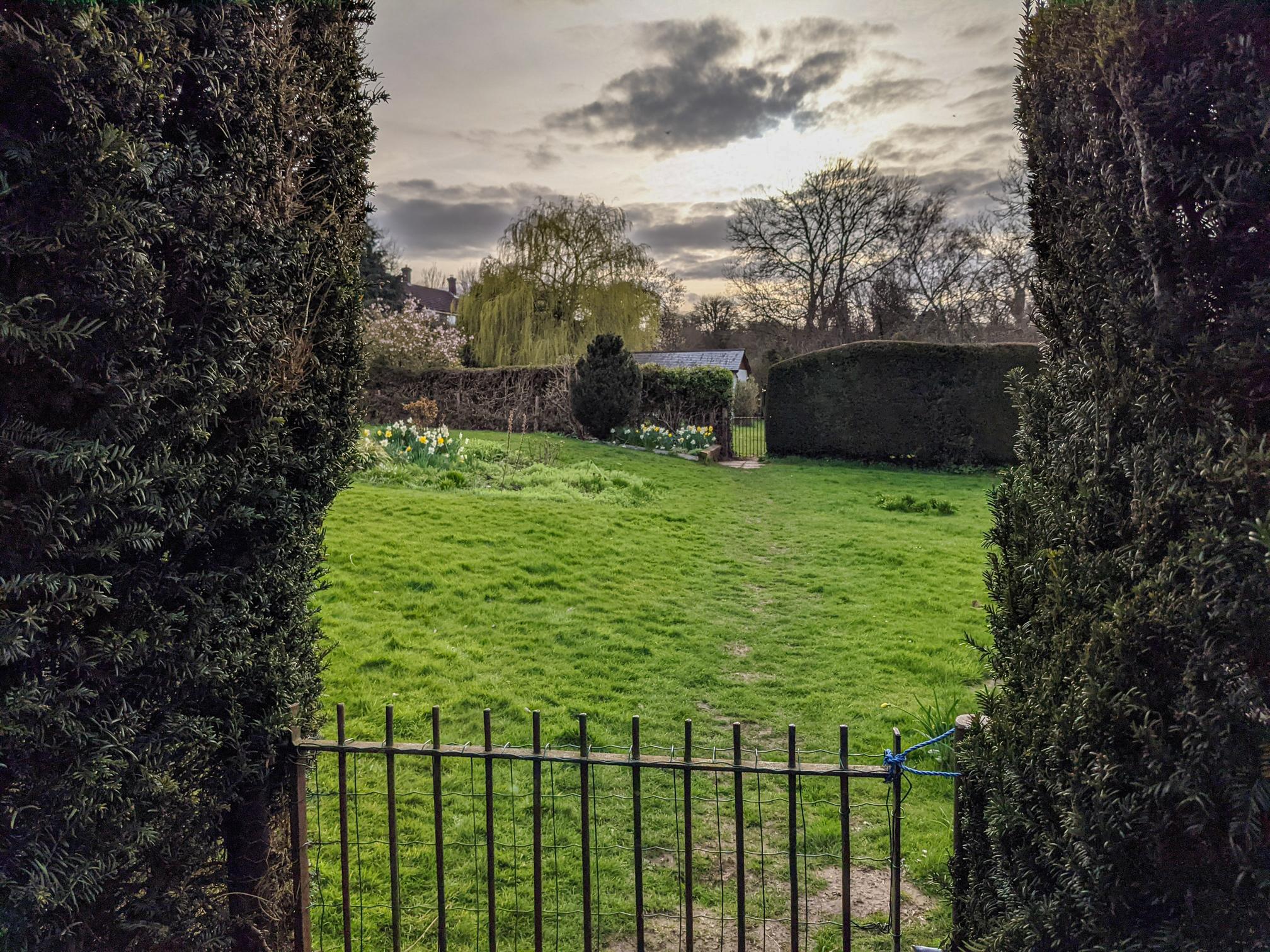
The path also skirts Horsebridge train station, complete with platform and carriages and private wedding venue these days. On the return to King’s Somborne there is a right of way going directly through a number of back gardens in a way we haven’t really seen it before. Signs urge you to be respectful and quiet.

Also have a look at loop 4 and loop 6.

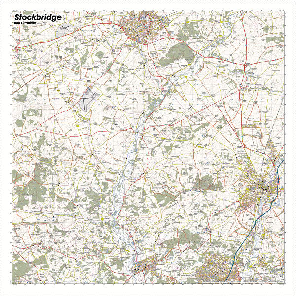
If you might be doing more walks on the river Test, perhaps beyond the Clarendon Way and Houghton and Bossington, splashmap’s Stockbridge (Test Valley – Andover to Romsey) 1:40 000 fabric map * is a great, waterproof resource.

This image has an empty alt attribute; its file name is stockbridge-All.png

Overview Clarendon Way 9 loops. For walks in Winchester, have a look at the walkWINCHESTER 12 walk challenge.

Highlights of Clarendon Way loop 5
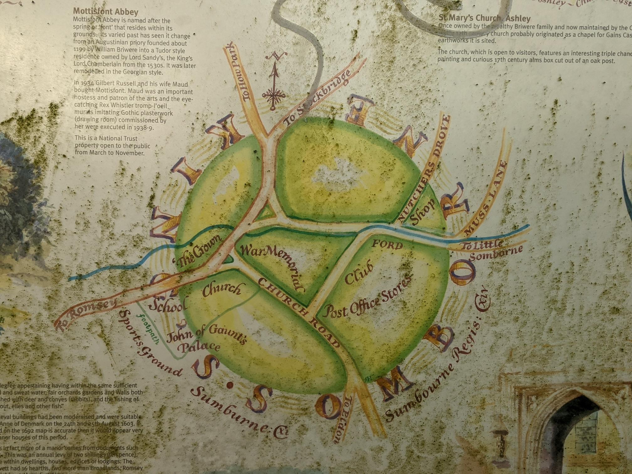
King's Somborne Parish Church
King’s Somborne Parish Church (St. Peter and St. Paul’s)
By Blacklake Farm
By Blacklake Farm
River Test with Swan
River Test by Blacklake Farm
Horsebridge Station
Horsebridge Station
Carriage at Horsebridge Station
Through the back gardens
Through the back gardens between Horsebridge and King’s Somborne

King’s Somborne

King’s Somborne itself is the site of John of Gaunt‘s palace and deer park. He was born in Ghent, Belgium which got anglicised into Gaunt. Whilst never being king himself, his son Henry became Henry IV and with that the house of Lancaster dynasty started.

Sign in King's Somborne i
Sign in King’s Somborne indicating position of John of Gaunt’s palace
Site of John of Gaunt’s palace (not that much to see to be honest)

More walks: walkWINCHESTER 12 walk challenge.

Leave a Reply Cancel reply

Your email address will not be published. Required fields are marked *

Clarendon Way loop 5