 full screen mode
 zoom in
 zoom out to see the entire Clarendon Way (thick pink line)
 compass to orient the map – north at the top
 locate your current position on the map (browser will ask for permission, works best on phones due to use of GPS). We don’t track your location.
Phone/tablet/touchscreen:
– Tap on symbols for more information about the walks and starting points
– Pan map: Tap on map and drag into any direction
– Zoom In/out: Pinch with two fingers
– Tilt map: Tap with two fingers and drag up or down
– Rotate map: Tap with two fingers and rotate
Laptop with mouse:
– Click on symbols for more information about the walks and starting points
– Pan map: Left click on map with mouse and drag into any direction
– Zoom In/out: Mousewheel or ‘+’ ‘-‘ keys on keyboard
– Tilt map: Right click and drag mouse pointer up or down
– Rotate map: Right click and drag mouse pointer left or right
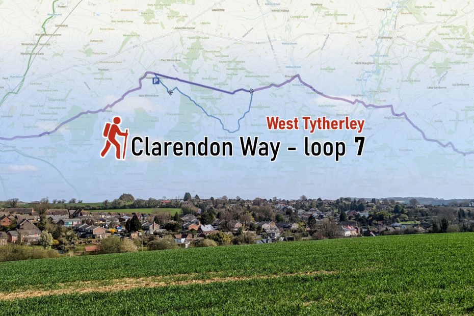
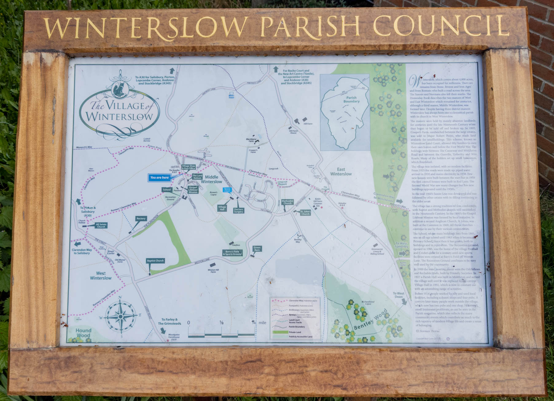
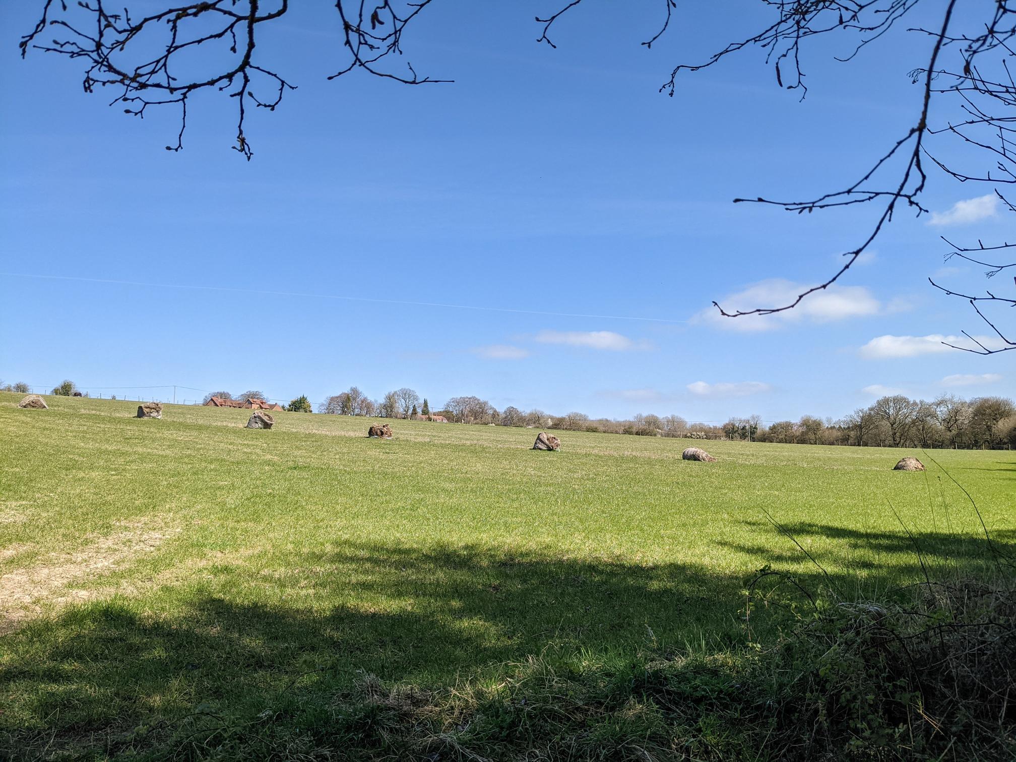
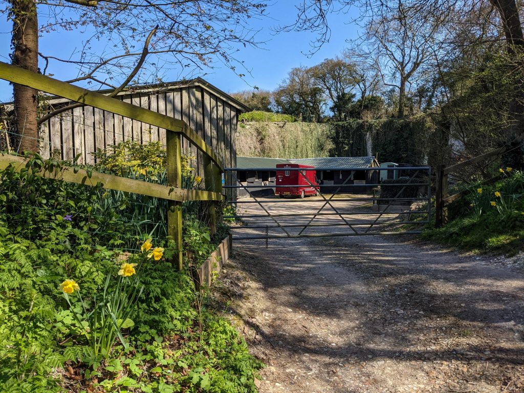
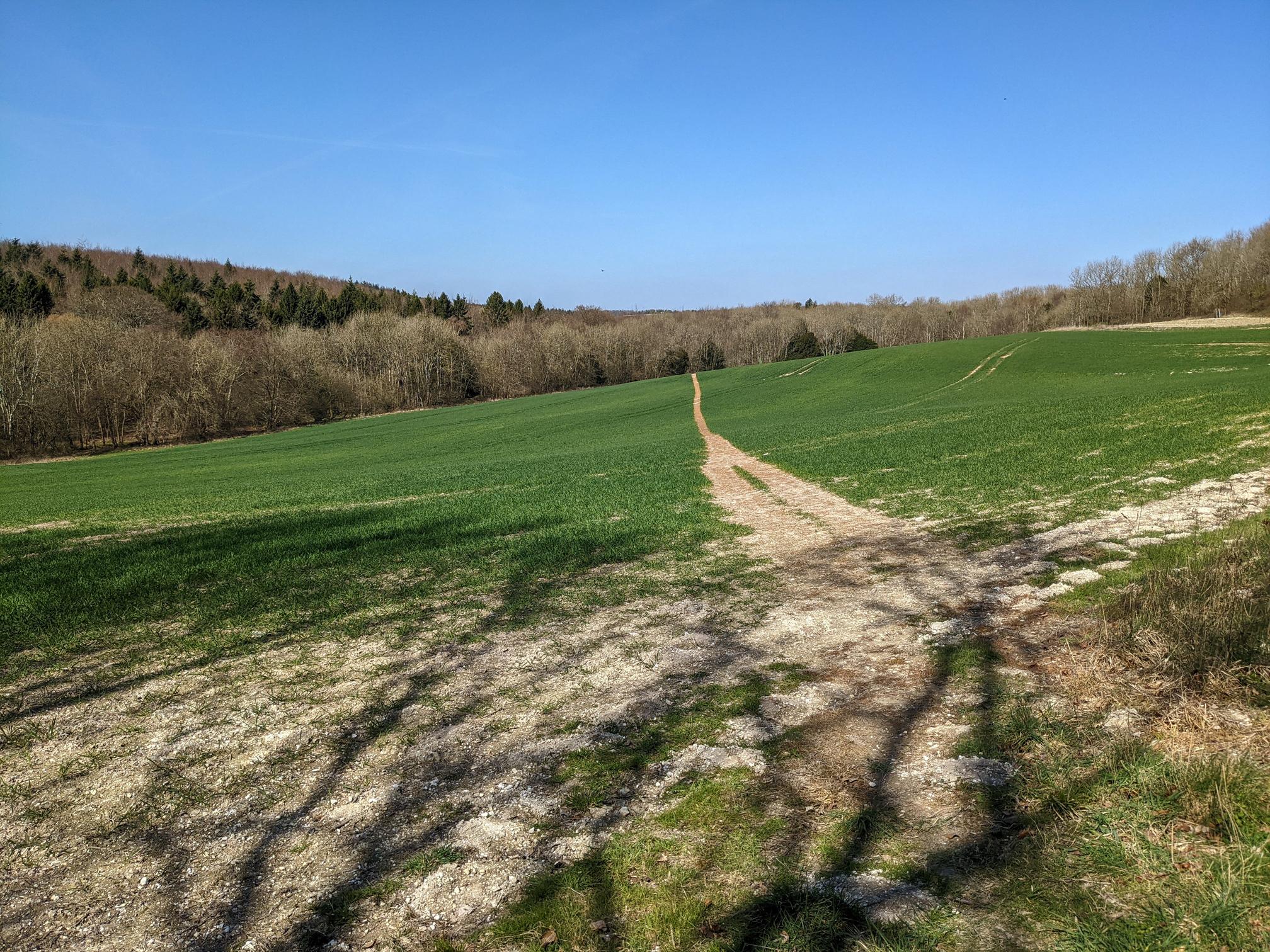
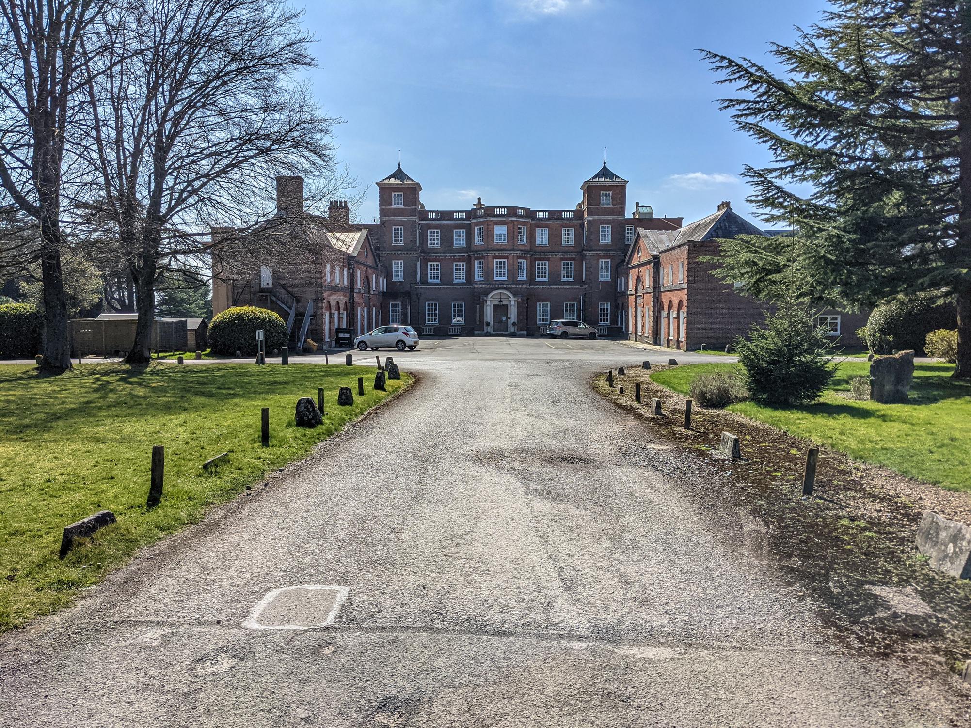
This walk starts in Middle Winterslow and explores the countryside to the East leading to West Tytherly. The Clarendon Way mainly follows the course of the Roman Road between Winchester and Old Sarum. The section of the walk that completes the loop goes through the village of West Tytherly and the grounds of Norman Court outdoor education and activity centre and Montessori school.
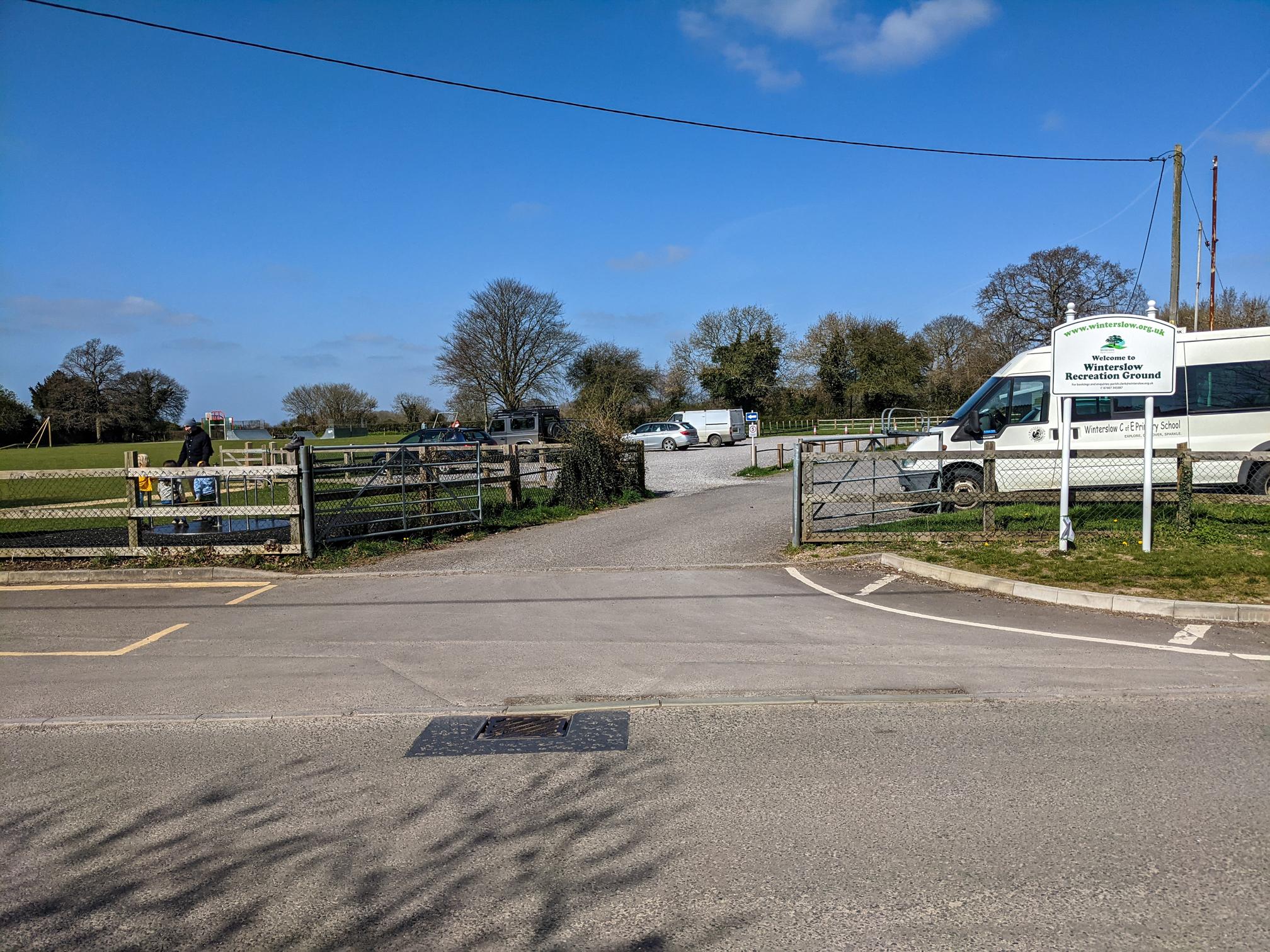
There’s a good and large car park at the Winterslow Recreation Ground. The Lord Nelson Arms is a pub just 50 m up the street, there’s also a village store on the main road. It has a number of of outdoor ‘Social Pods’. Loop 8 heads west from the same car park and will be published next week. Loop 6 is here.
Length: 13.8 km / 8.6 miles
Time: 3 hours 15 minutes at a swift pace + breaks
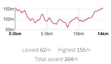
Difficulty: Moderate – 264 m total ascent

Overview Clarendon Way 9 loops. For walks in Winchester, have a look at the walkWINCHESTER 12 walk challenge.
Highlights of Clarendon Way loop 7

Starting point in Middle Winterslow

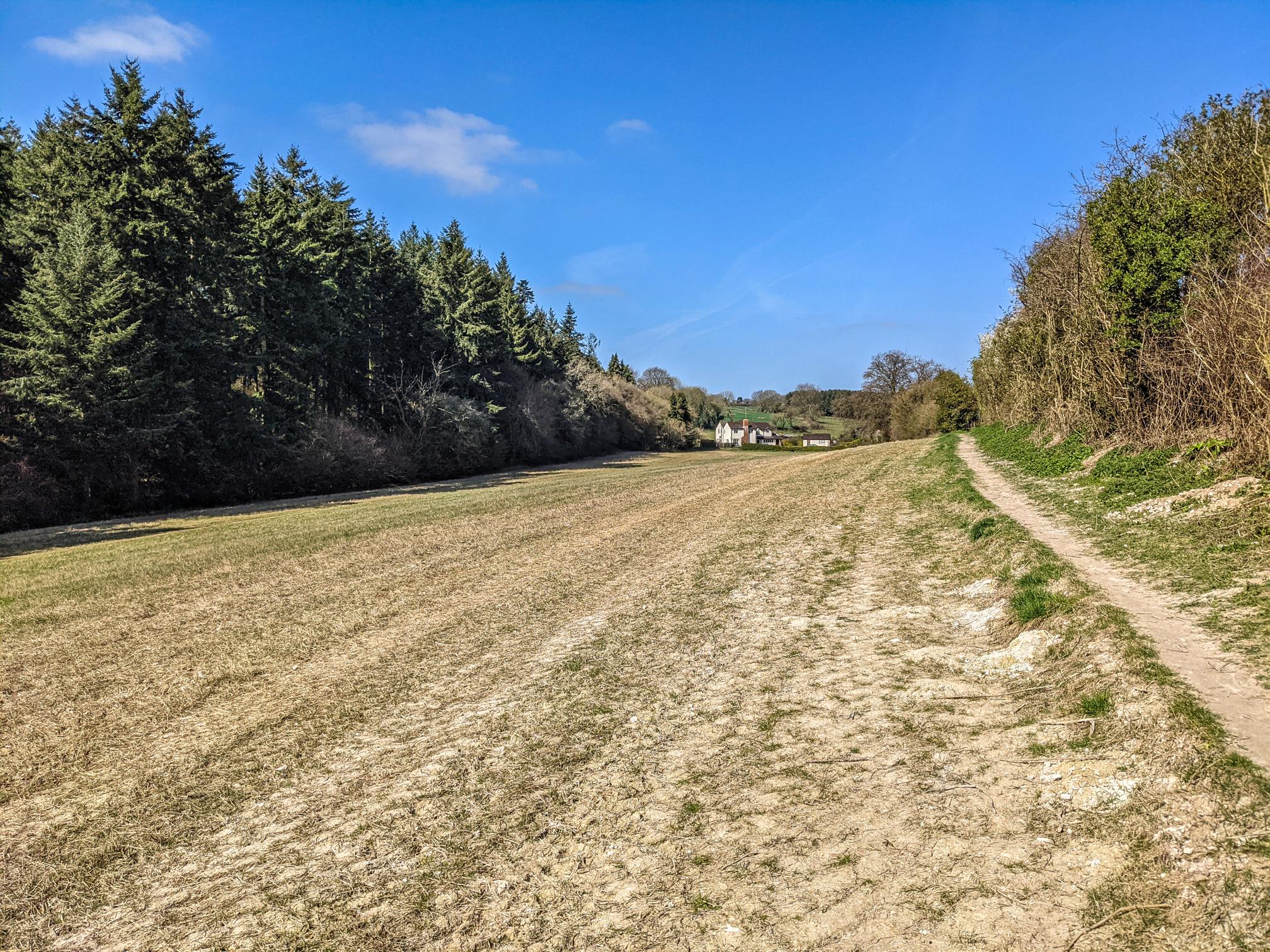
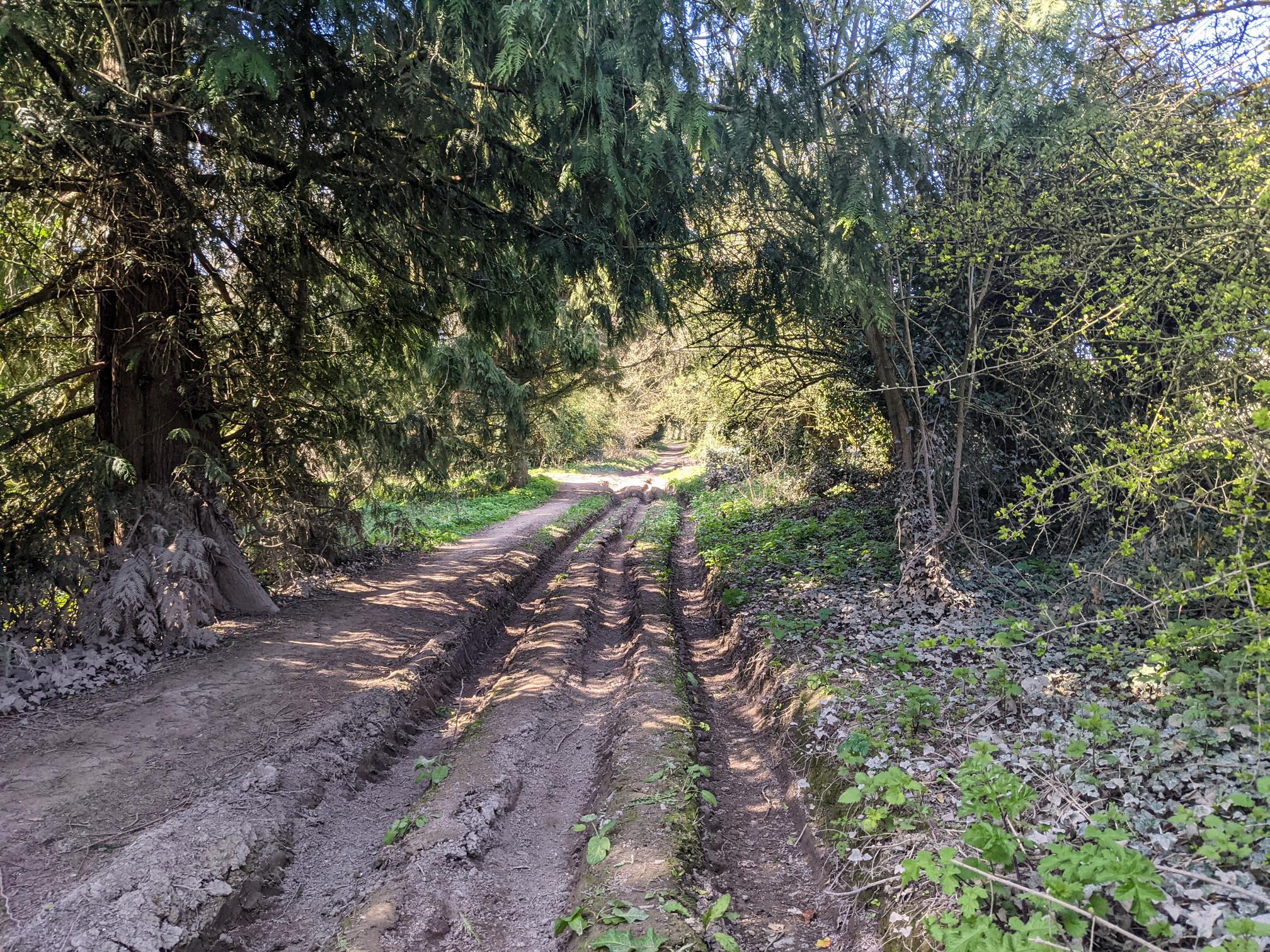
On the Roman Road
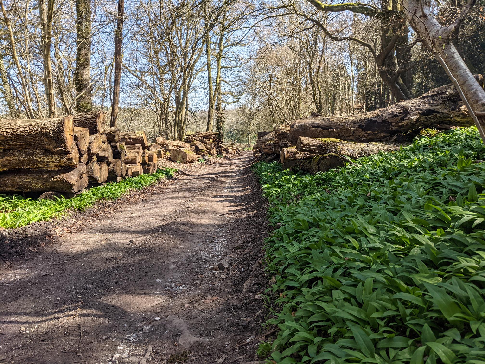
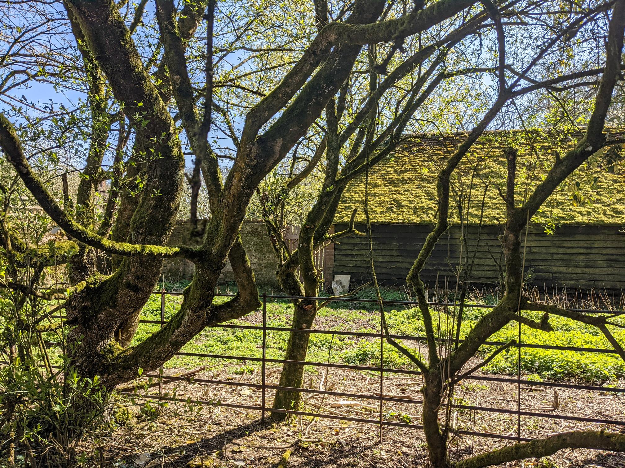
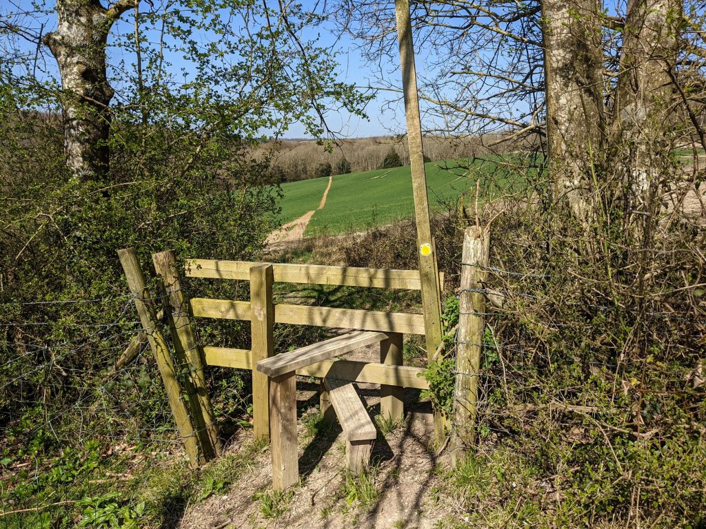
Along the Way
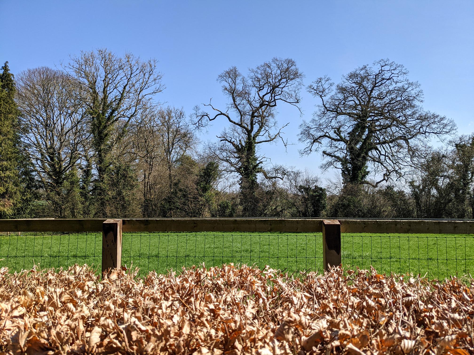
Norman Court

More walks: walkWINCHESTER 12 walk challenge.