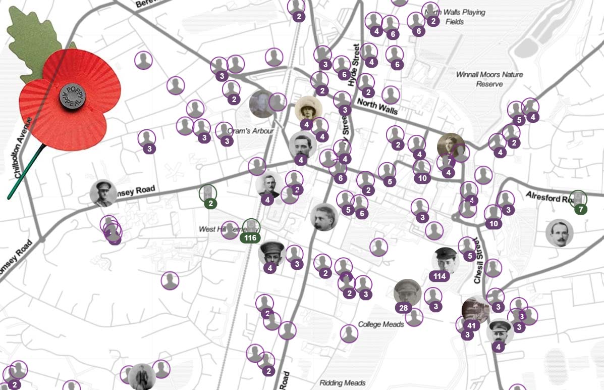
Find the 12 walks on the map:
How to navigate each walk
To navigate any walk on this website, you can use the embedded map, ideally on your phone whilst walking (you might want to stop walking for short while whilst looking at your phone). The ![]() button lets you view the map full screen whilst the
button lets you view the map full screen whilst the ![]() button displays your location as a blue dot on the online map (requires location permission for the browser). All maps are also in the OSmaps app for iOS, Android and also web browsers. There’s a separate link to load the walk into OSmaps for each walk.
button displays your location as a blue dot on the online map (requires location permission for the browser). All maps are also in the OSmaps app for iOS, Android and also web browsers. There’s a separate link to load the walk into OSmaps for each walk.
Alternatively, if you prefer paper maps, OS Explorer map OL32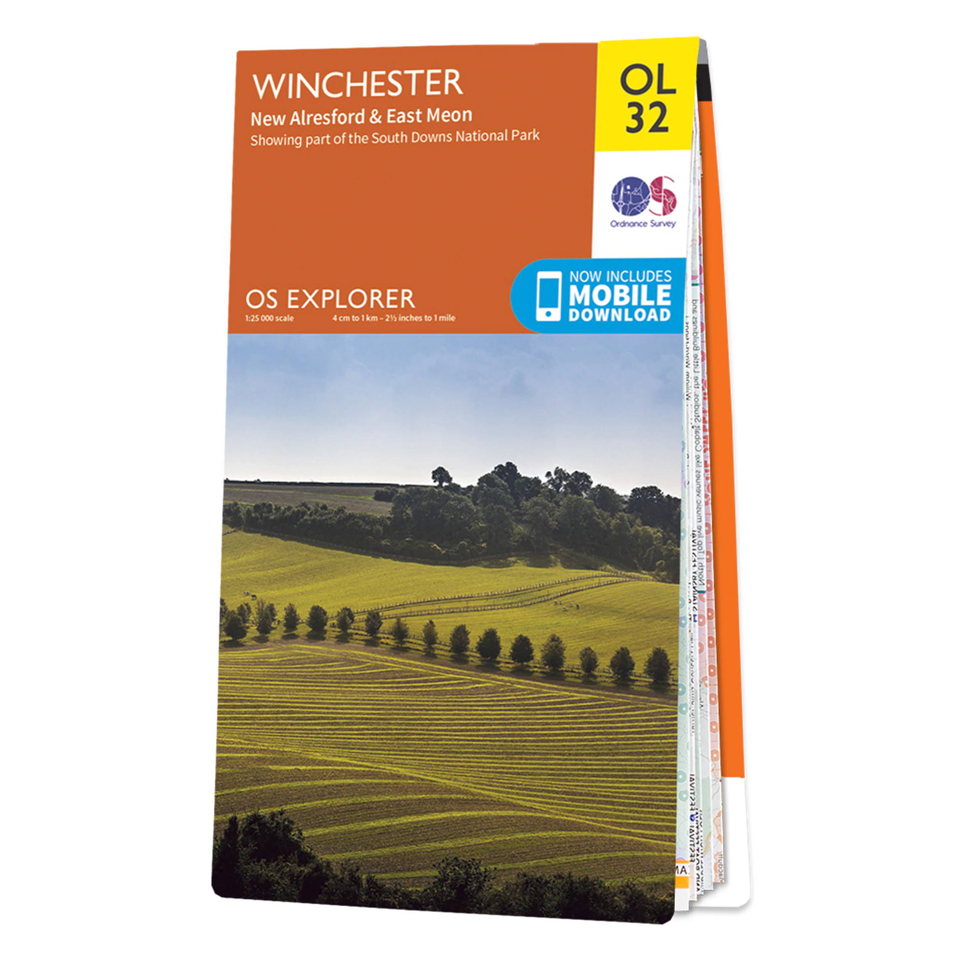 is the map for the Winchester area.
xcvxcvcxvcx
Basic
$9.99
Per Month
First Feature
Second Feature
Last Feature
John Doe
Jedi Master
“What is the point of being alive if you don’t at least try to do something remarkable?”
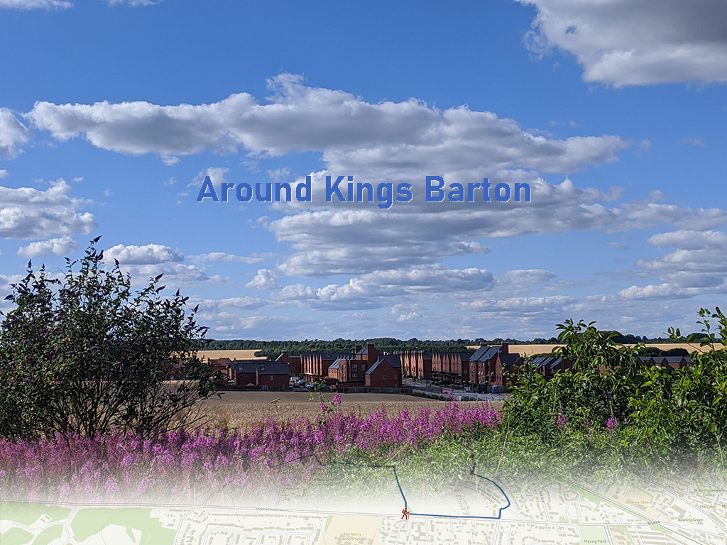
Around Kings Barton
Have you ever walked around Kings Barton? In summer 2022 a couple of new footpath opened around the …
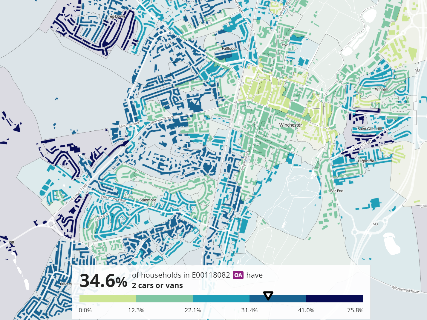
Got multiple cars? Winchester car owners map
How popular is multiple car ownership in Winchester? Here’s a set of maps showing Winchester c…
Alton hill walk – the six hills of Alton
Are you up to doing the Alton hill walk, a slightly challenging, 18km circular walk taking in the 6 …
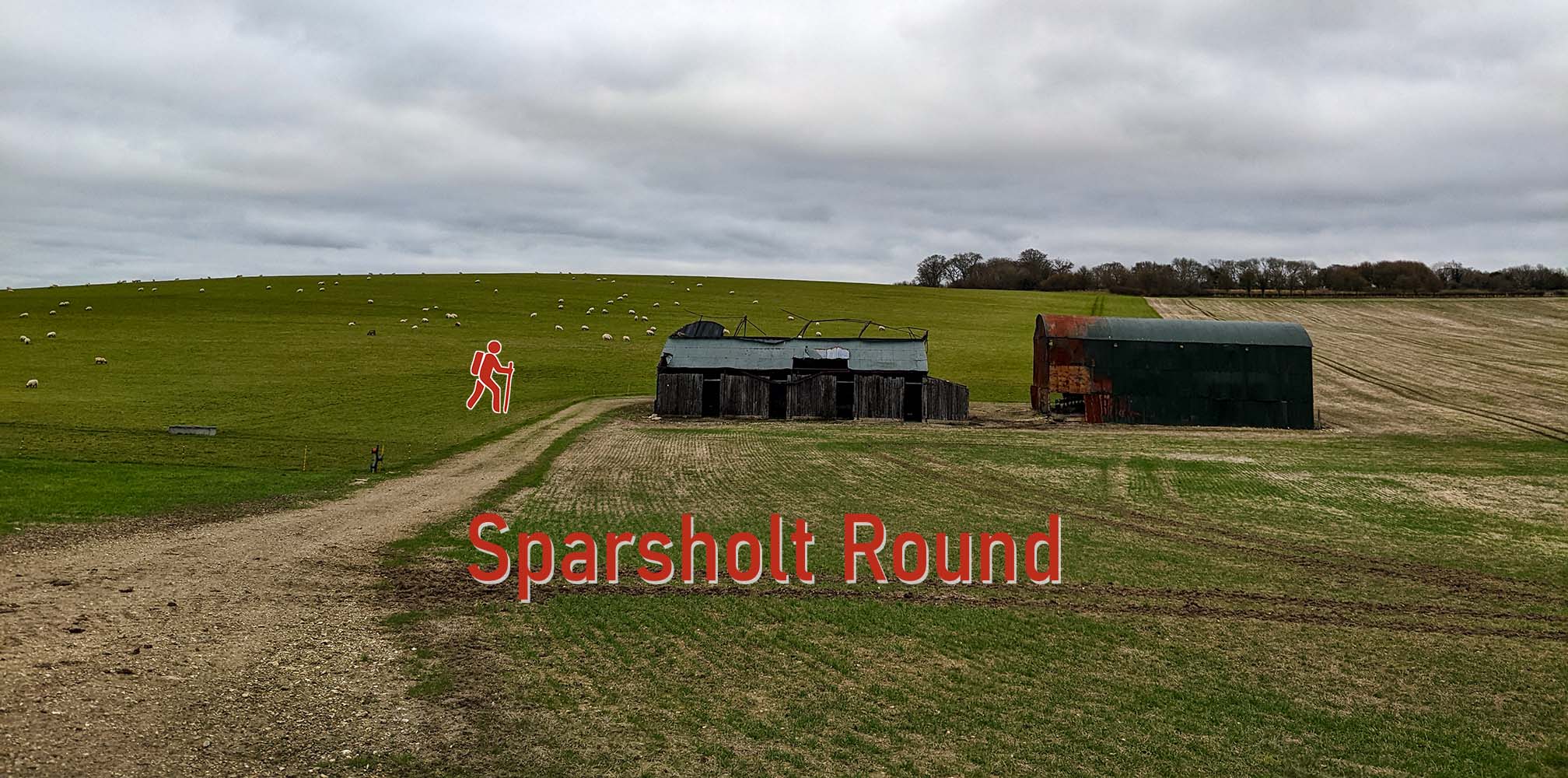
Sparsholt Round from West Wood
Starting at the Mount Down car park, the Sparsholt Round is an easy 2 to 2.5 hour walk, down the Bur…
A street near you
Explore the local legacy of the First World War in Winchester and on a global scale. This interactiv…

