Skip to content
walkWINCHESTER
  • 12 walks
  • Clarendon Way
  • Short walks
  • Beyond Winchester
walkWINCHESTER
  • Short walks
    • Magdalen Hill Down
    • Farley Church
    • See the Greta Thunberg statue in Winchester for yourself
    • Ham Green, Sparsholt
  • Clarendon Way – 9 loops
    • Clarendon Way loop 1 – Sarum Road
    • Clarendon Way loop 2 – West Wood
    • Clarendon Way loop 3 – Farley Mount
    • Clarendon Way loop 4 – Furzedown and Beacon Hill
    • Clarendon Way loop 5 – Houghton and Bossington
    • Clarendon Way loop 6 – Broughton
    • Clarendon Way loop 7 – West Tytherly, Norman Court
    • Clarendon Way loop 8 – Clarendon Park
    • Clarendon Way loop 9 – Clarendon Palace
  • Complete the 12 walk challenge in Winchester
    • walk#1 – get started with an easy, half hour walk
    • walk#2 – wetlands, footbridges and a bit of mud
    • walk#3 – fields, wildflowers and deer (if you are lucky)
    • walk #4 – grand views of the city and farmlands
    • walk#5 – hill fort, bunkers and meadows
    • walk #6 – wild river and parkland
    • walk#7 – horses, burial mounds and an avenue
    • walk#8 – 36 holes and a new village
    • walk#9 – South Downs views
    • walk#10 – railway line and watercress
    • walk#11 – no man’s land to bluebell heaven
    • walk#12 – from one sluice to the next
  • Visit Winchester
    • Starting point: King Alfred statue, Winchester
  • Maps of Winchester, Hampshire
    • Explore historic maps of Winchester
    • Colouring in maps Winchester
    • Managing environmental impact of housing development in Hampshire
    • Explorer map Winchester – Ordnance Survey paper maps
  • Beyond Winchester
    • Barton on Sea to Hordle Cliff
    • OS Maps Australia review: From Wales to New South Wales
    • Rhossili Down
    • Quiraing walk 3D fly-through
    • Where is this ? Random Earth
  • About walkWINCHESTER
    • Privacy Policy
    • Affiliate
    • Terms and conditions
  • About Winchester, Hampshire
    • Winchester place names
  • Winchester Books
  • All walks

Three short walks from Sarum Road, Winchester

  • by Will Walker
  • April 27, 2021


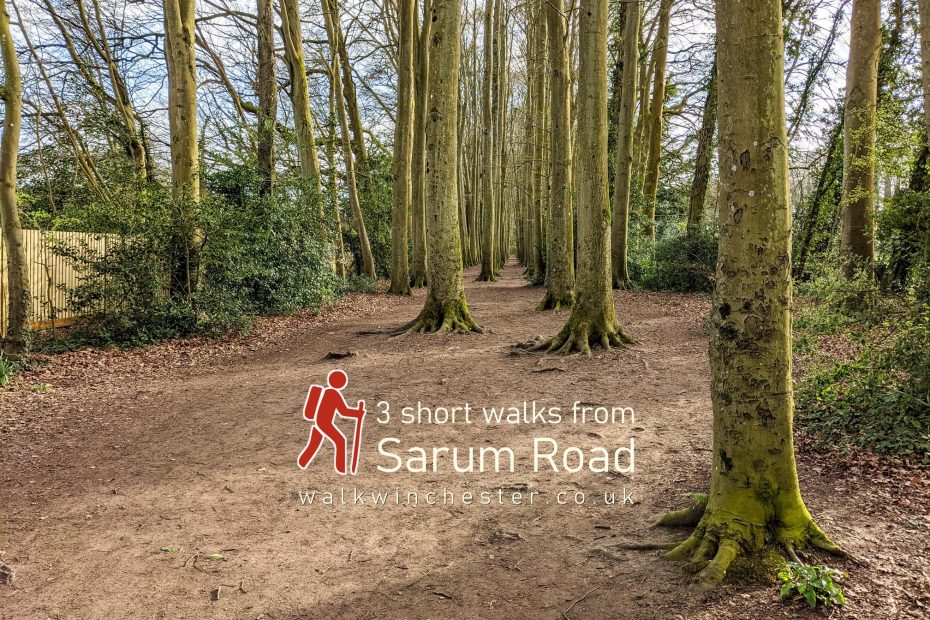
The area around Sarum Road and Chilbolton Avenue in Winchester has become increasingly popular as an upmarket residential area in recent years. There’s a string of nice houses and apartments. It’s a great area to live in, the Golf course is close, the city centre is in easy reach and there are a few nice walks. Starting at the corner of Sarum Road and Marnhull Rise, we have curated three short walks (each one about an hour or so in duration) to explore this area and the local greenspaces.

Help - how to navigate this map

full screen icon full screen mode
zoom in icon zoom in
zoom out icon zoom out
compass button compass to orient the map – north at the top
locate-button locate your current position on the map (browser will ask for permission, works best on phones due to use of GPS). We don’t track your location.

Phone/tablet/touchscreen:
– Tap on symbols for more information about the walks and starting points
– Pan map: Tap on map and drag into any direction
– Zoom In/out: Pinch with two fingers
– Tilt map: Tap with two fingers and drag up or down
– Rotate map: Tap with two fingers and rotate
Laptop with mouse:
– Click on symbols for more information about the walks and starting points
– Pan map: Left click on map with mouse and drag into any direction
– Zoom In/out: Mousewheel or ‘+’ ‘-‘ keys on keyboard
– Tilt map: Right click and drag mouse pointer up or down
– Rotate map: Right click and drag mouse pointer left or right

The Education Walk takes you by Winchester University as well as Western and Westgate schools. After crossing both Chilbolton Avenue and Romsey Road at the busy roundabout, turn into Kerrfield, an attractive residential street that meets Romsey Road again at the war memorial. Cross Romsey Road again, then walk past the new Winchester University West Downs campus (you can have a look at the Greta Thunberg statue if you want) and cut across towards Greenhill Road just before the Hillier Garden Centre towards the Westgate School (click here for an historic map). On the return, there is a leafy woodland footpath that runs parallel to Chilbolton Avenue to avoid walking back on the main road.

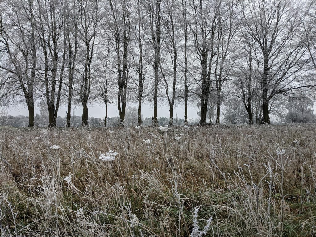
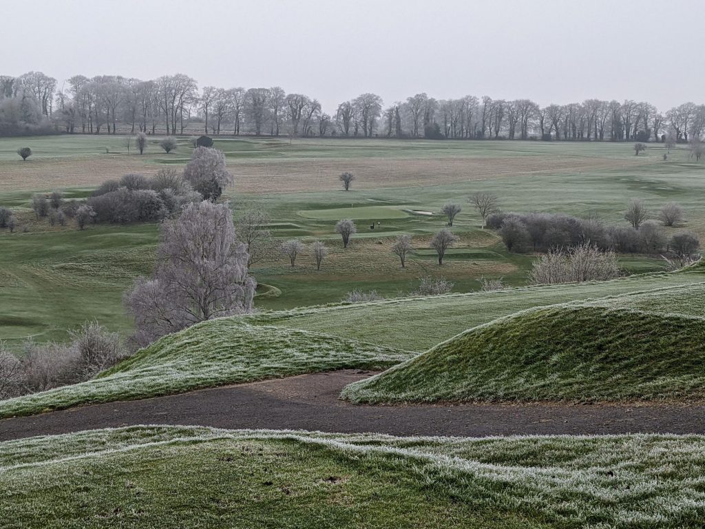
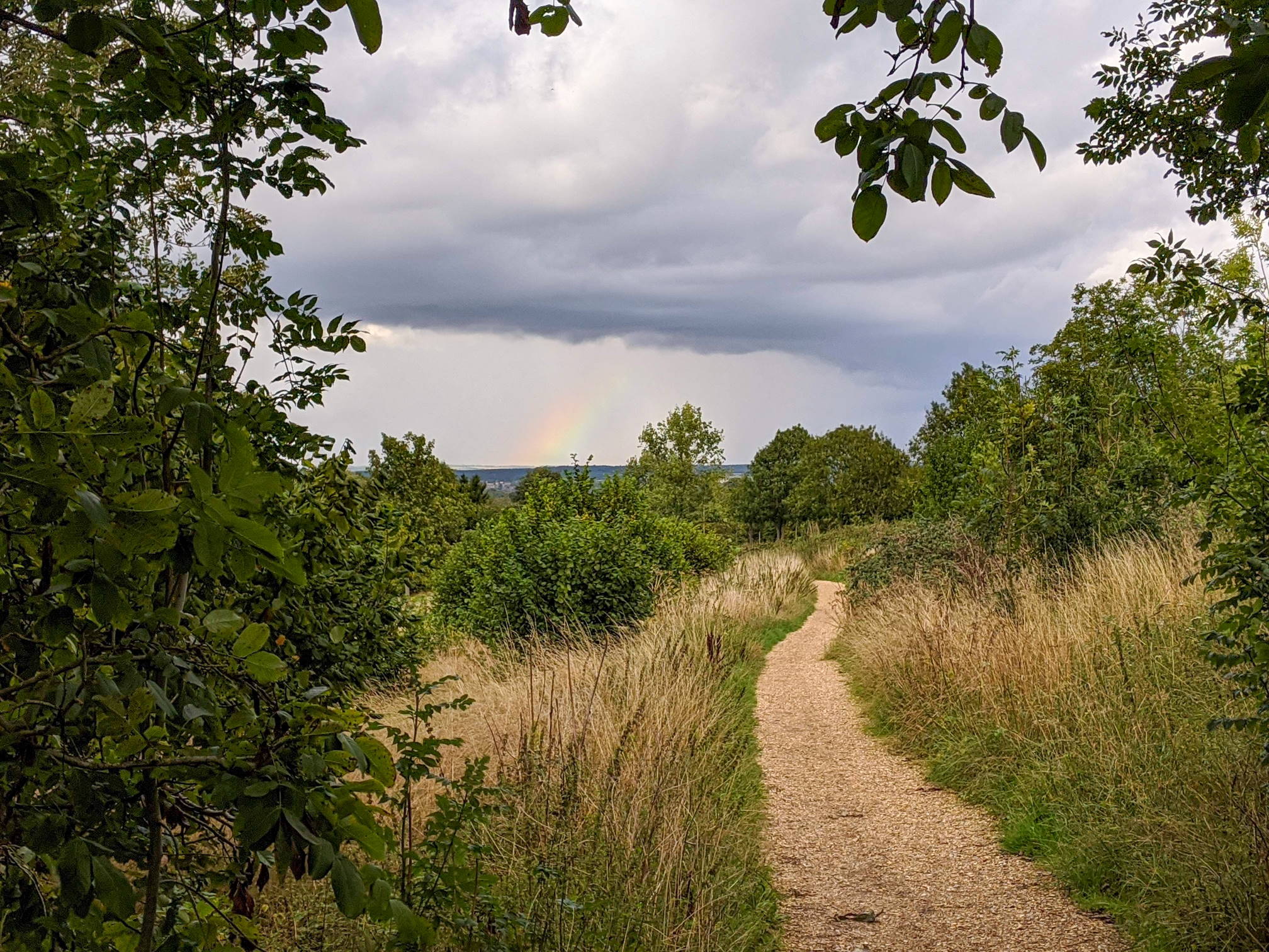
The Golf Course Walk goes down Chilbolton Avenue before you turn left onto a small footpath. It can get muddy in the winter months. There is a small copse at the top of the hill and a path leads to the left through Winchester Royal Golf Club (click here for an historic map), offering superb, open views across the golf course and rolling hills. The return is on Sarum Road.

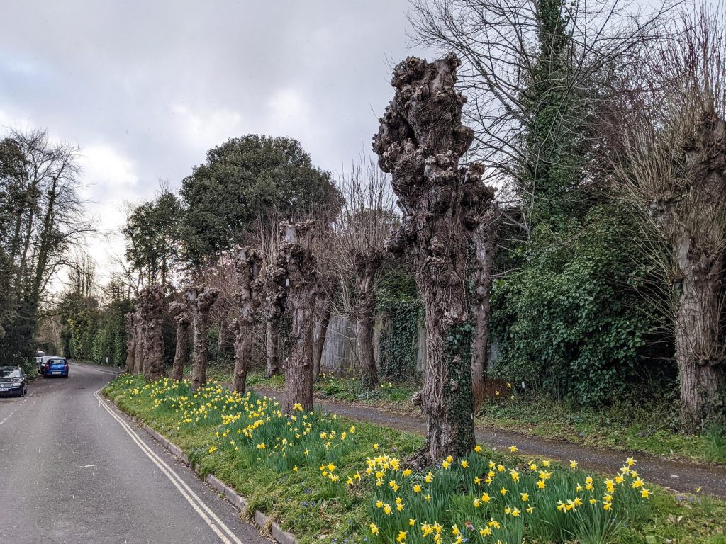
The Valley Walk explorers the residential area to the south. After crossing busy Romsey Road it gets a lot quieter in the Sleepers Hill area and Dawn Gardens. There’s a nice little bit of green with a zig-zag path going down The Valley and up again on Stanmore Lane. You can go back on Romsey Road, where there is a wide path next to the street (not shown on map above), or cut across past the Council Offices in Monarch Way back to Sarum Road.

Length: 3-3.5 km or around 2 miles for each walk
Time: allow an hour or so for each of the three walks
Difficulty: Relatively easy, there are some hills

Click to view in OS Maps

Other walks in this area include, Ham Green and walk#11 from the 12 walk challenge. Walks like Farley Church are not far away.

Photos

Back side of Chilbolton Avenue
Dawn Gardens
Golf course in winter
Through Winchester Royal Golf Club

Also have a look at our Winchester 12 walk challenge.

Leave a Reply Cancel reply

Your email address will not be published. Required fields are marked *

3 short walks from Sarum Road
© walkWINCHESTER 2022 - T&Cs - privacy